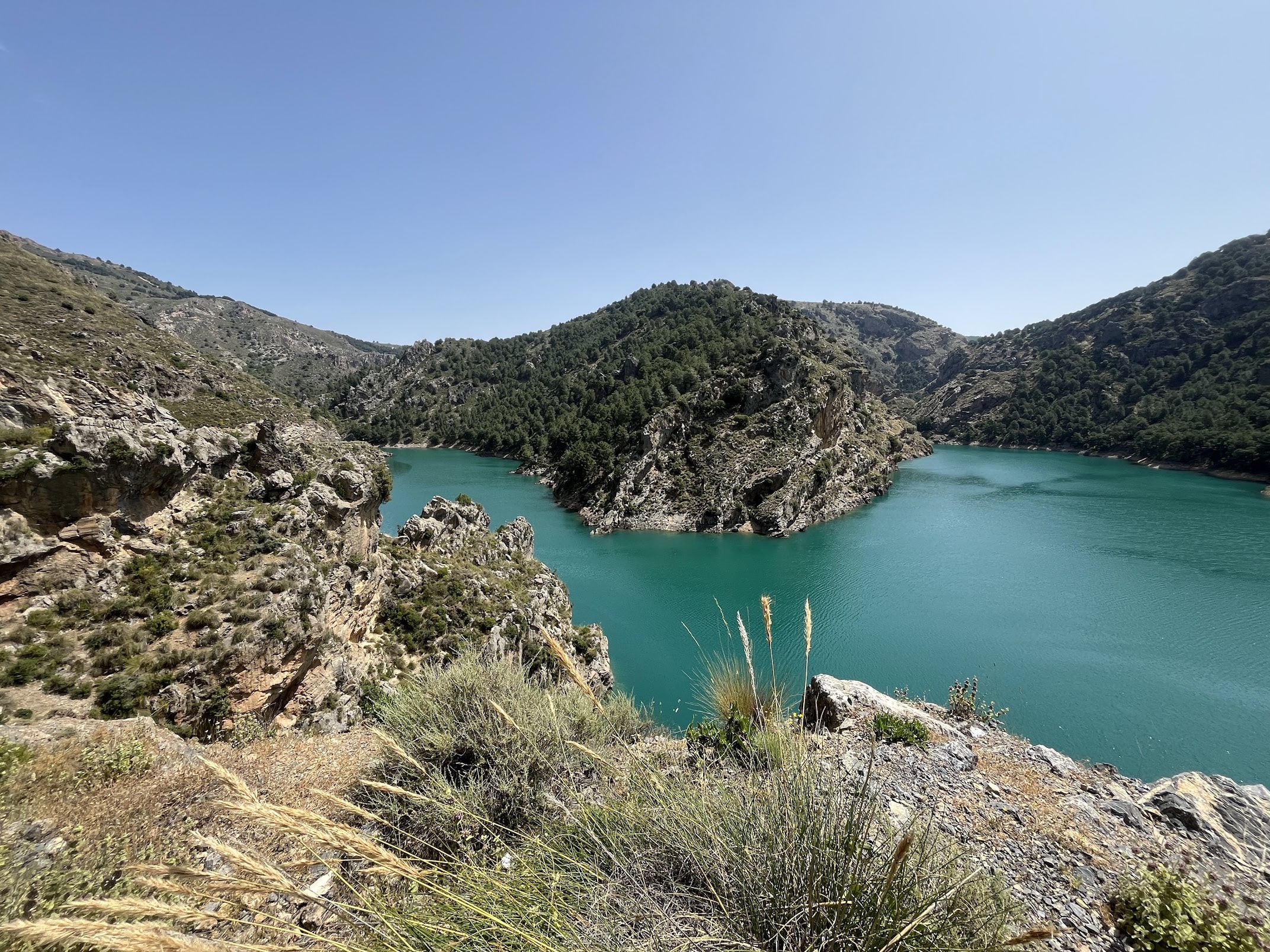
Route
While most people have heard of this iconic mountain range, it is not quite the cycling hotspot that you’d expect it to be (except for end of May - early June). There’s no shortage of tough, epic climbs in this area, which makes you wonder indeed.
One possible explanation is that the Sierra Nevada doesn’t quite have the cycling heritage that other climbs in Europe have. Take Alpe d’Huez for instance. Granted, the switchback road is pleasant to watch on television, but it’s just a road to a ski resort. But since the Tour de France has been there so many times and many epic battles for GC have been fought there, people flock there to do the same climbs their heroes do. The Vuelta a España seems to want to this with the Lagos de Covadonga climb, which they’ve been including in the parcours quite a lot lately. The only reason that I can think of why they’re not doing the same with the Sierra Nevada climbs is that it’s just too hot in August. Temperatures in Granada easily go over 40 degrees celsius in Summer.
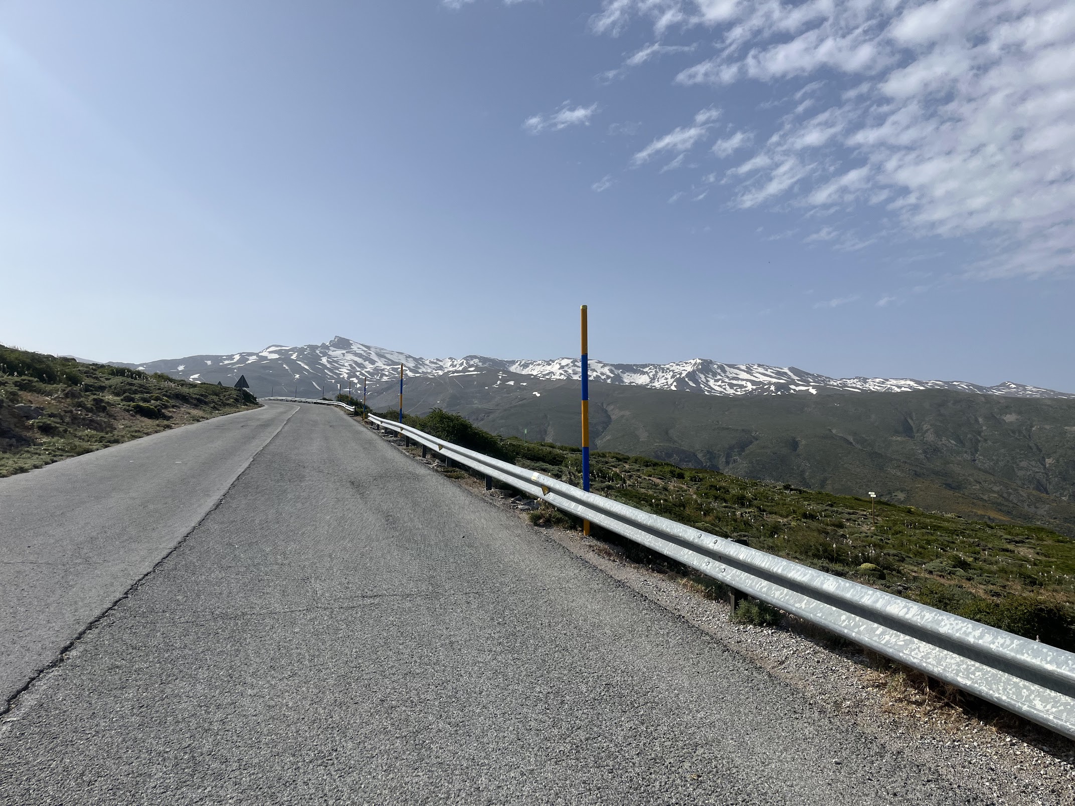
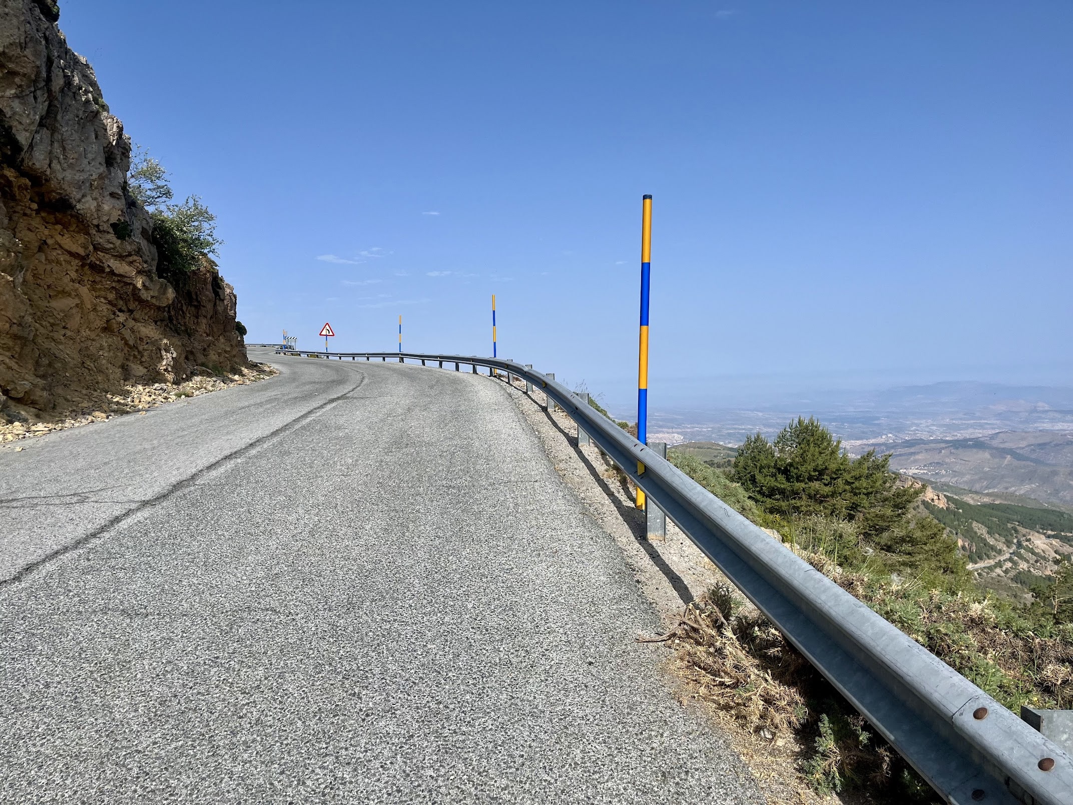
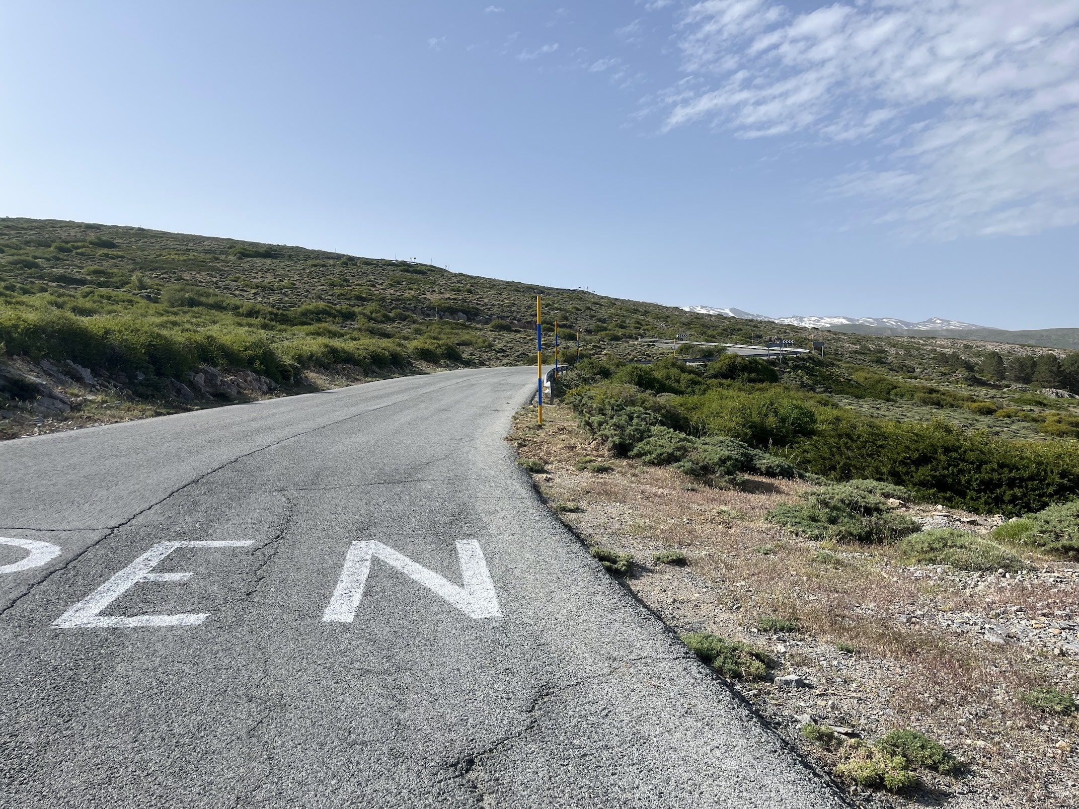
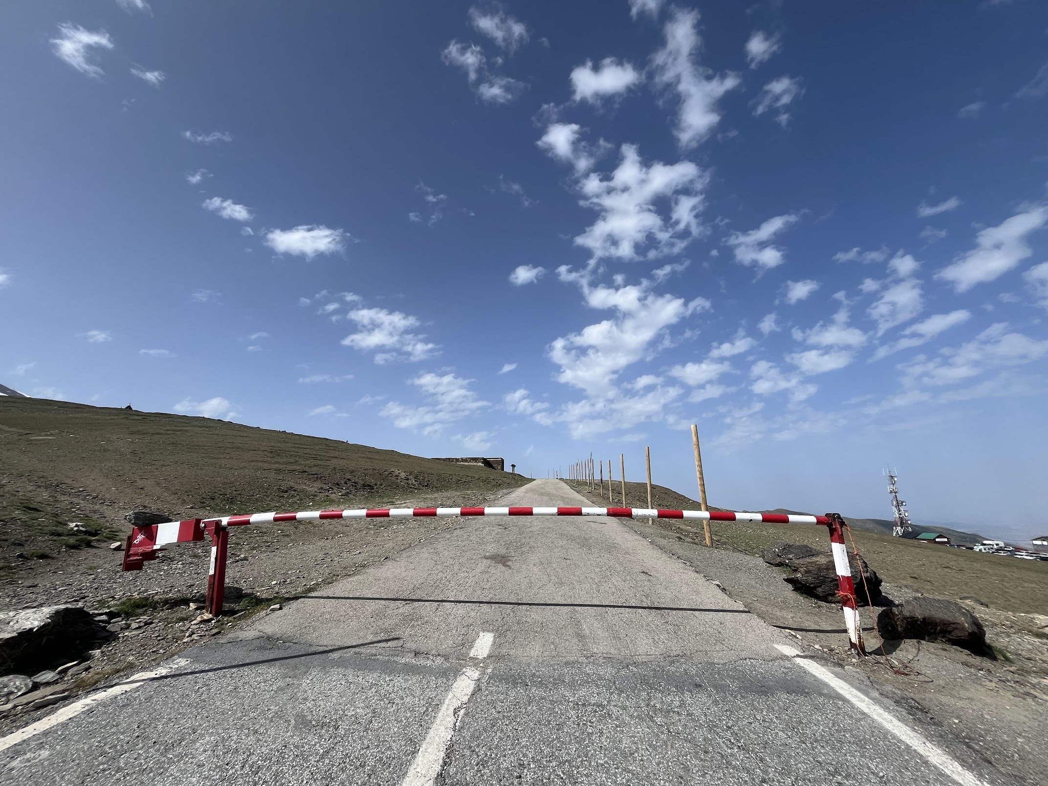
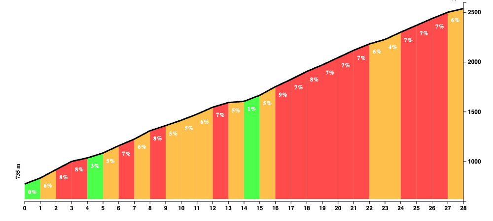
Anyway, cycling heritage or not, the statistics don’t lie. This mountain range is home to one of the highest paved roads in Europe. You can ride up to Pico Veleta at a whopping 3400m above sea level. More than 2200m of elevation gain in the span of 40km (!), that’s quite a ride. The last 10 kilometers or so are not only challenging because of the altitude, obviously, but also because of the state of the road. You may be better off with a gravel bike on this section, but it’s doable for the most part with a regular bike. Because of the latter, this route goes up ‘only’ to the military base at Hoya de la Mora.
The route goes along the Collado de las Sabinas (A-4025).
You Might Also Like


Haza del Lino
Not yet discovered by the masses, this is a gem of a ride.


Ruta de la Cabra
The Goat's Path is an absolute beauty and must-do when you're in the area.


Sierra de Tejeda
One of the favorite loops of the pros when preparing for the Tour de France.
Read more
Articles covering this route, region, or country.

Top 5 cycling routes in Granada
Explore the best cycling routes in Granada. Snow-capped mountain climbs, empty valleys, butter-smooth roads, and historic cities are perfect for your next cycling holiday in Spain.

10 epic road rides in Andalucía
Discover 10 epic road cycling routes in Andalucía, Spain. Perfect for scenic rides, challenging climbs, and unforgettable cycling adventures.

Top 5 cycling routes in Málaga
Explore the best cycling routes in Málaga. Sunny coastal rides, mountain climbs, and scenic roads perfect for your next cycling holiday in Spain.