Route
If you are seeking a challenging ride, this route is highly recommended. This course follows the route of the recommended Sierra Nevada Límite.
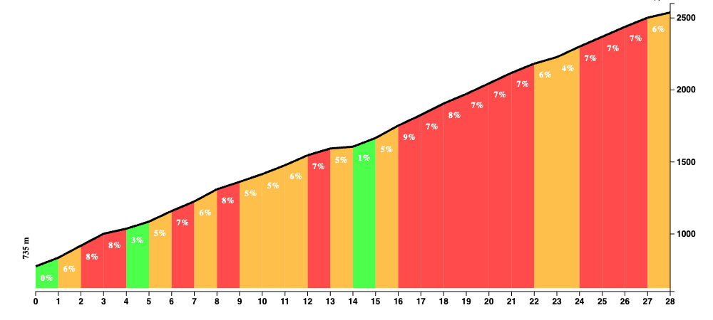
With nearly 4000 meters of elevation gain over a distance of 110 km (excluding the 40 km descent after reaching the summit), it is evident that this ride requires considerable endurance.
Given the location in Granada, riders can expect to encounter extreme weather conditions. While Granada can be extremely hot (don’t be surprised to encounter +40 degrees Celcius), the temperatures at the end of the highest paved road in Europe may be quite cold.
Nonetheless, this region offers extraordinary experiences. Granada is a remarkable city, as are its surroundings, which sometimes appear surreal.
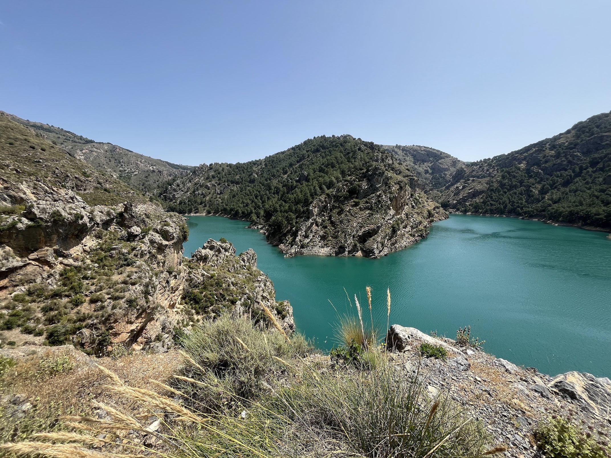
The initial segment of the route consists of a loop from Granada to the Guadix region and back, totaling 90 km. The roads are well-maintained, the views are spectacular, and traffic is minimal, providing an ideal setting for a pleasant ride.
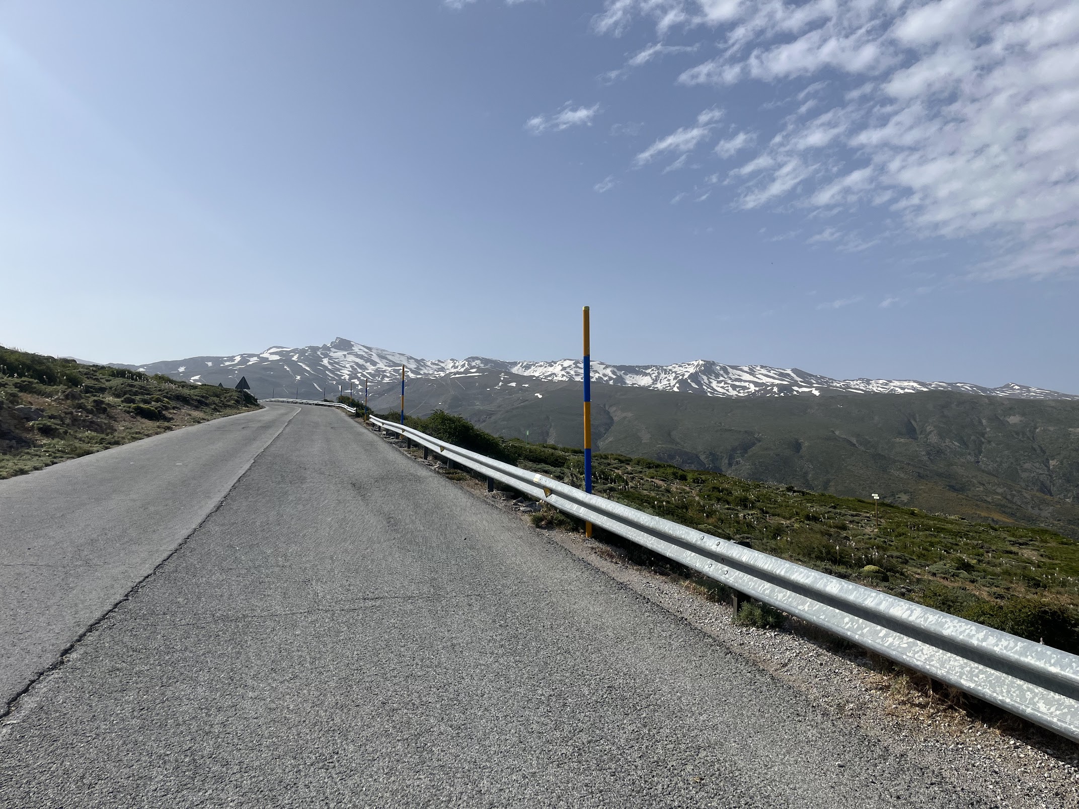
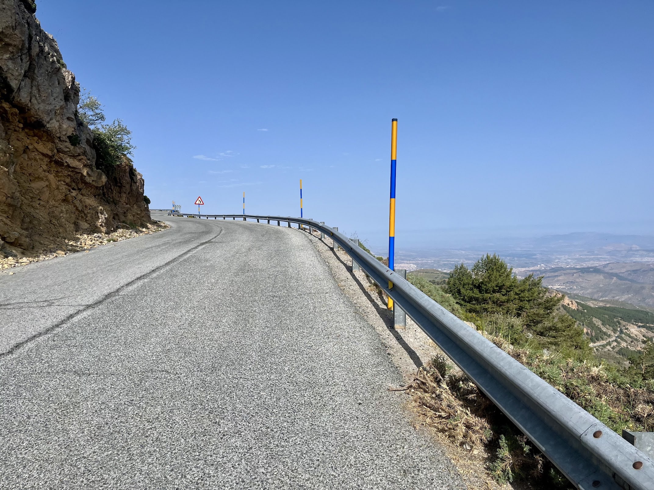
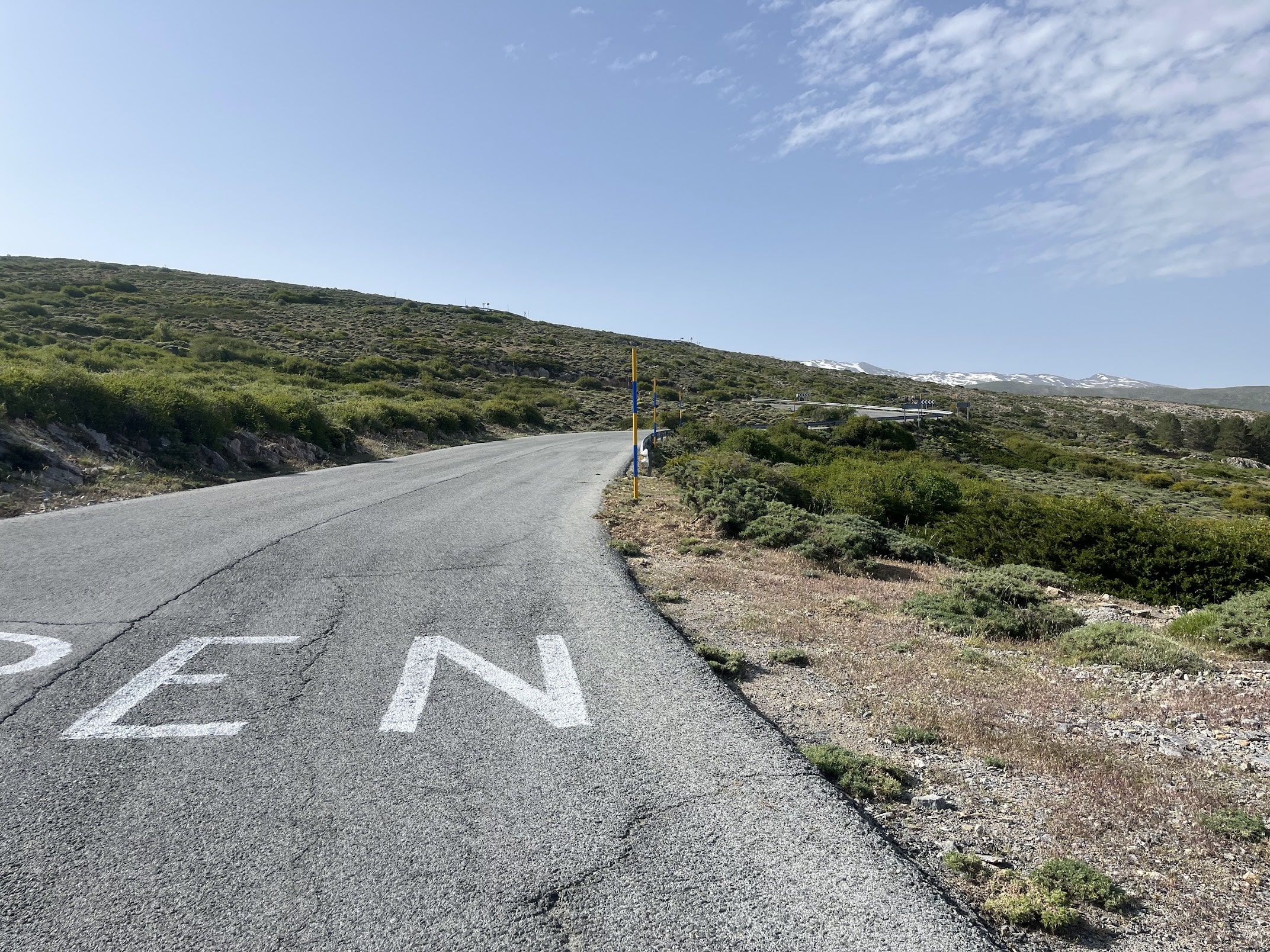
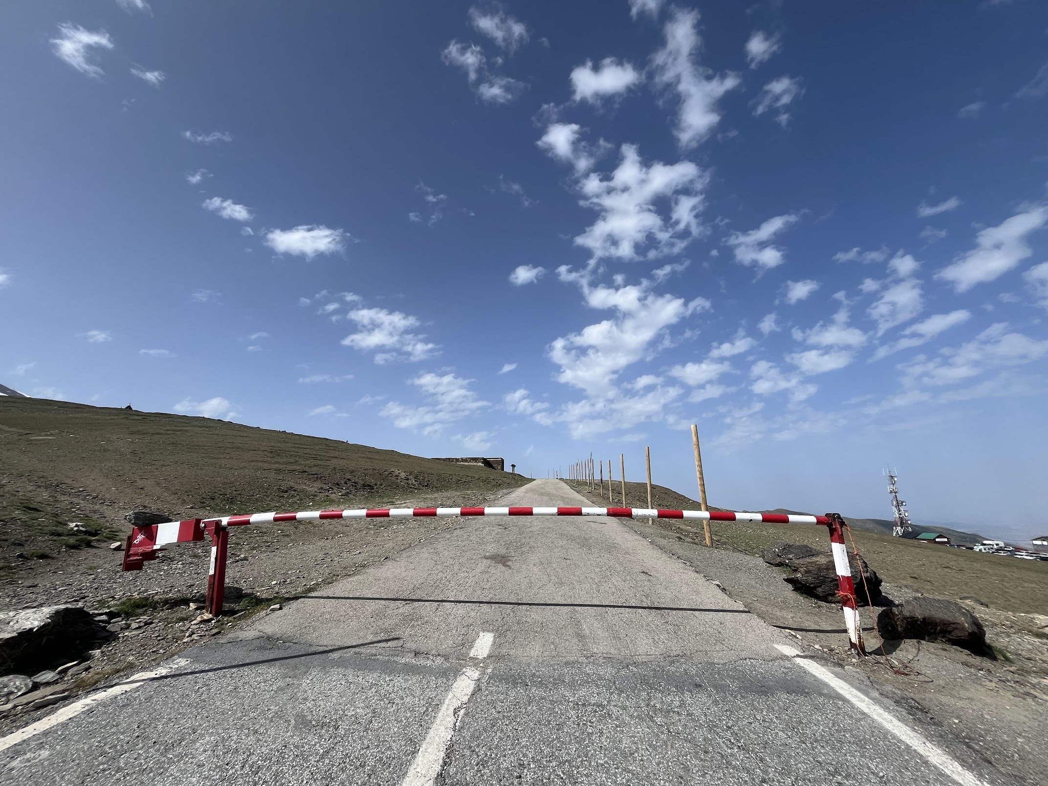
Upon returning to Granada, one can turn left and proceed directly to the ski town of Pradollano, or, if feeling ambitious, continue the ascent to Hoya de la Mora. The climb involves approximately 30 kilometers of climbing, becoming increasingly difficult towards the end.
High altitudes contribute to the challenge, and combined with the relentless heat and 90 km already covered, this can become a formidable endeavor.
When you reach the top, it goes downhill straight away, and it’s a quick descent to Granada’s city center.
Fueling up
Purullena is the only town on route besides Granada. Along the climb towards Pradollano, there are a few rest stops where you could fill up.
Tips
Take it easy the first 90 km. There’s 30 to 40 kilometers left of non-stop climbing. Don’t forget that you’re heading for high altitudes.
You may also want to avoid going in Summer because of the excruciating heat in Granada. You’d also avoid having to share the road with unexperienced and disrespectful drivers. Late May-June and September-October, possibly extending into early November are good times for this ride.
You Might Also Like


Haza del Lino
Not yet discovered by the masses, this is a gem of a ride.


Ruta de la Cabra
The Goat's Path is an absolute beauty and must-do when you're in the area.


Sierra de Tejeda
One of the favorite loops of the pros when preparing for the Tour de France.
Read more
Articles covering this route, region, or country.

Top 5 cycling routes in Granada
Explore the best cycling routes in Granada. Snow-capped mountain climbs, empty valleys, butter-smooth roads, and historic cities are perfect for your next cycling holiday in Spain.

10 epic road rides in Andalucía
Discover 10 epic road cycling routes in Andalucía, Spain. Perfect for scenic rides, challenging climbs, and unforgettable cycling adventures.

Top 5 cycling routes in Málaga
Explore the best cycling routes in Málaga. Sunny coastal rides, mountain climbs, and scenic roads perfect for your next cycling holiday in Spain.