A challenging route starting in Axarquía that crosses the mountains into either Zafarraya (via Boquete de Zafarraya) or Alfarnate (via Puerto del Sol), then descends to Villanueva del Trabuco and further down to Riofrío.
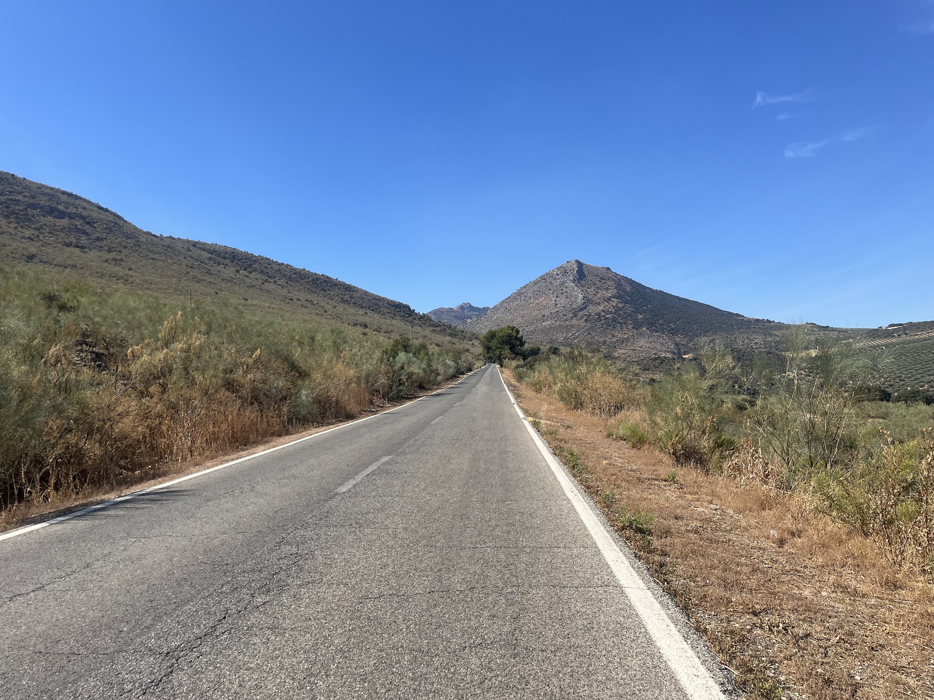
This epic route begins in the Axarquía region and immediately presents you with a choice of two challenging mountain passes. You can either tackle the dramatic Boquete de Zafarraya, the dramatic entrance to Málaga province from Granada, or take the beautiful and quiet Puerto del Sol climb.
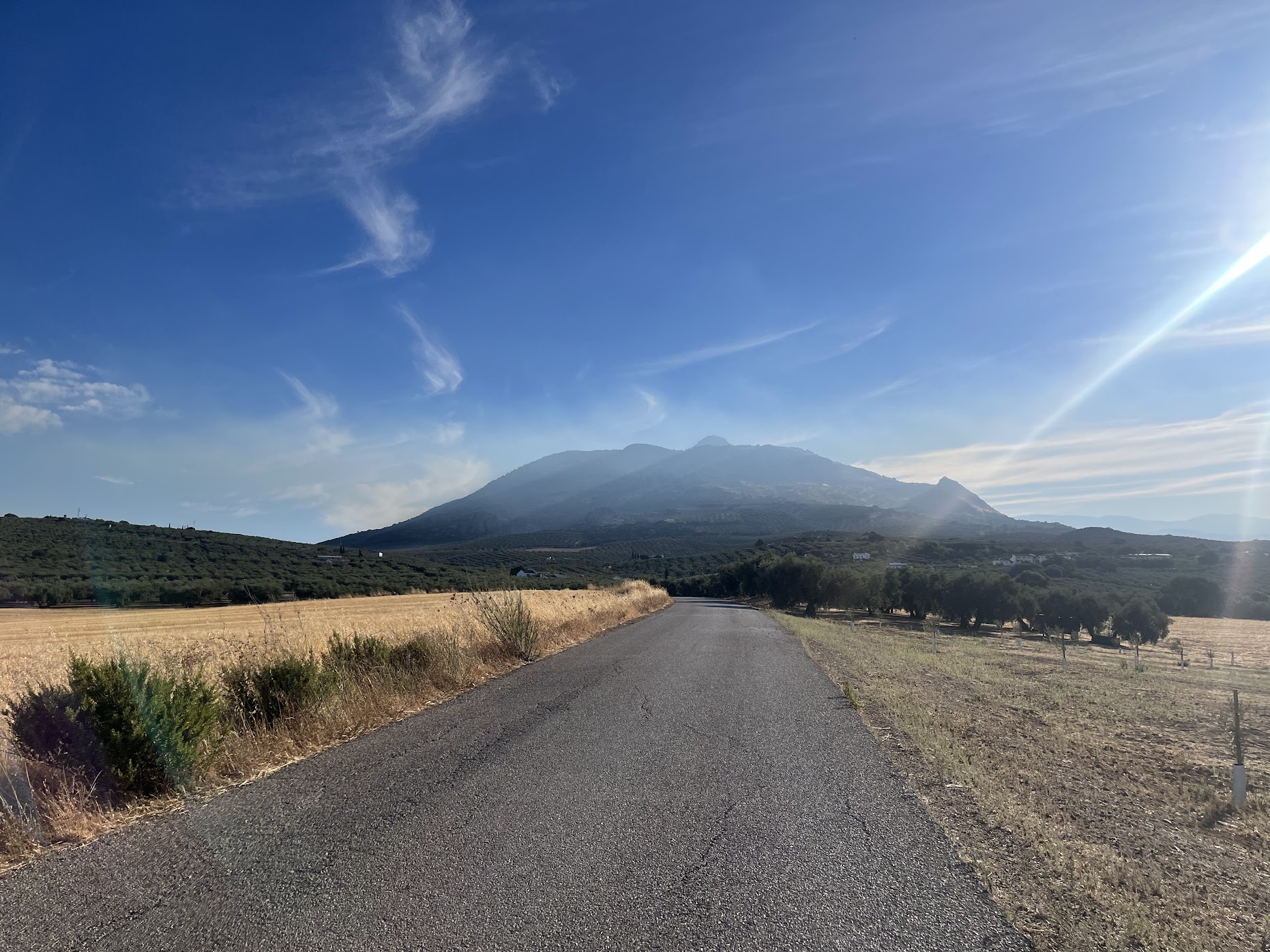
After conquering the mountains, the route descends through Villanueva del Trabuco, a charming village nestled in the hills, before continuing down to the Riofrío area. This section offers a welcome respite from the climbing, with smooth descents and beautiful valley views.
From Riofrío, the route takes a scenic detour to the outskirts of Loja, giving you a taste of the Granada province countryside. This section provides a different perspective on the Andalusian landscape, with its own unique character and charm.
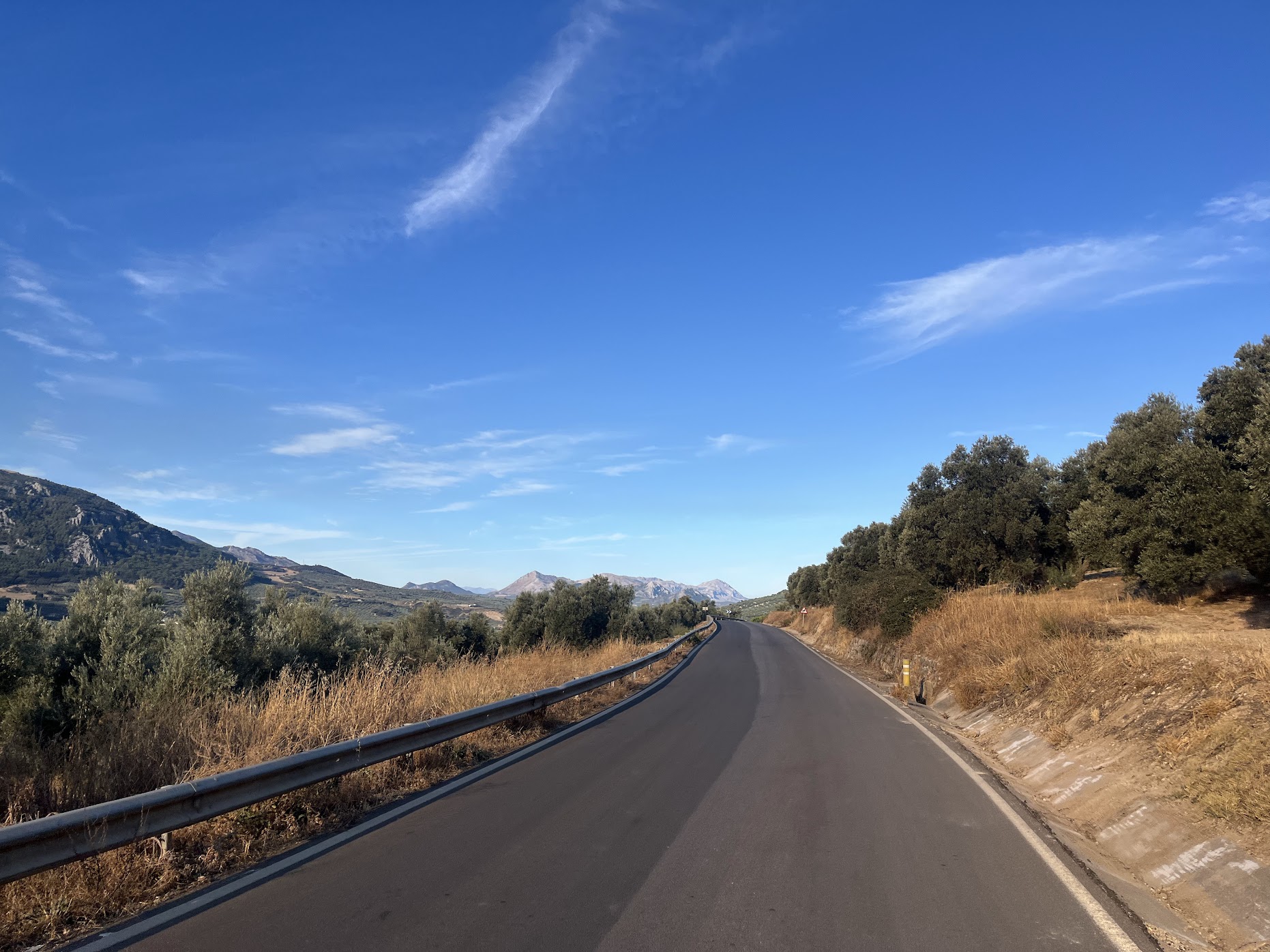
The return journey features the long climb back up towards Zafarraya, testing your endurance and climbing abilities. This sustained ascent will challenge even the fittest cyclists, but the rewards are worth it - stunning views and a true sense of accomplishment.
You’ll re-enter Málaga province via either the Boquete de Zafarraya or Alfarnate, completing a spectacular loop that showcases the best of both Málaga and Granada provinces. The route’s varied terrain and multiple mountain passes make it one of the most challenging and rewarding rides in the region.
This route is perfect for experienced cyclists looking for a true mountain adventure. With its combination of multiple climbs, varied terrain, and stunning scenery, it offers everything you could want from an epic Andalusian cycling experience.
You Might Also Like


Haza del Lino
Not yet discovered by the masses, this is a gem of a ride.


Ruta de la Cabra
The Goat's Path is an absolute beauty and must-do when you're in the area.


Sierra de Tejeda
One of the favorite loops of the pros when preparing for the Tour de France.
Read more
Articles covering this route, region, or country.

Top 5 cycling routes in Granada
Explore the best cycling routes in Granada. Snow-capped mountain climbs, empty valleys, butter-smooth roads, and historic cities are perfect for your next cycling holiday in Spain.

10 epic road rides in Andalucía
Discover 10 epic road cycling routes in Andalucía, Spain. Perfect for scenic rides, challenging climbs, and unforgettable cycling adventures.

Top 5 cycling routes in Málaga
Explore the best cycling routes in Málaga. Sunny coastal rides, mountain climbs, and scenic roads perfect for your next cycling holiday in Spain.