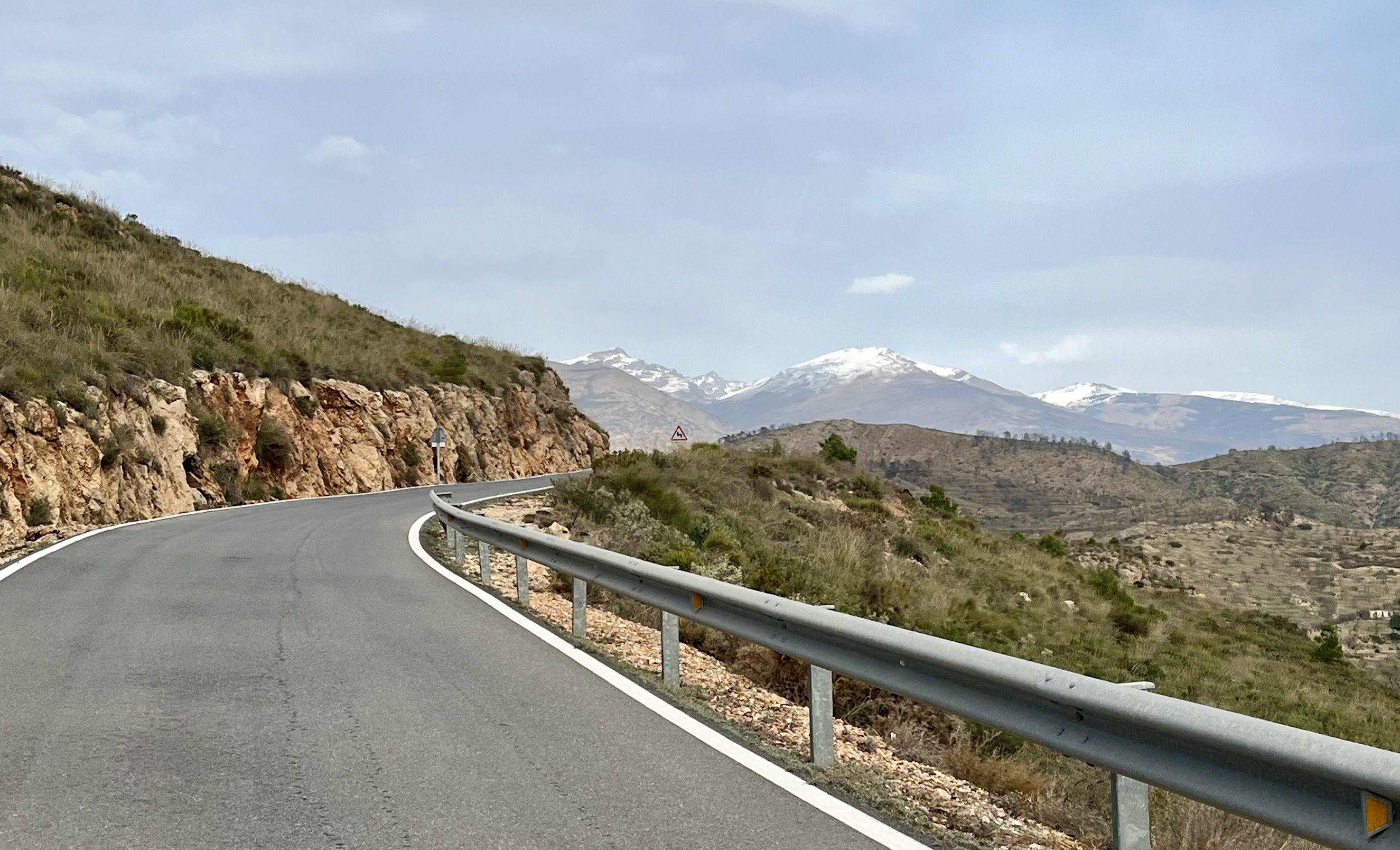
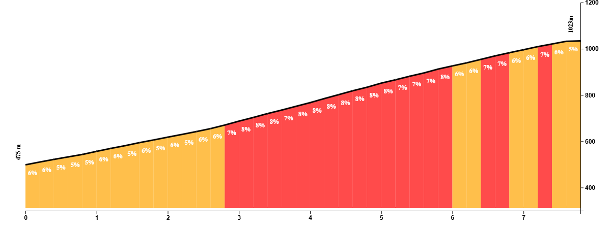
This scenic loop through the heart of La Alpujarra begins in the bustling market town of Órgiva, gateway to the Sierra Nevada’s southern flanks. The route immediately gets to work with a stunning climb to Cáñar, a tiny village perched high above the valley.
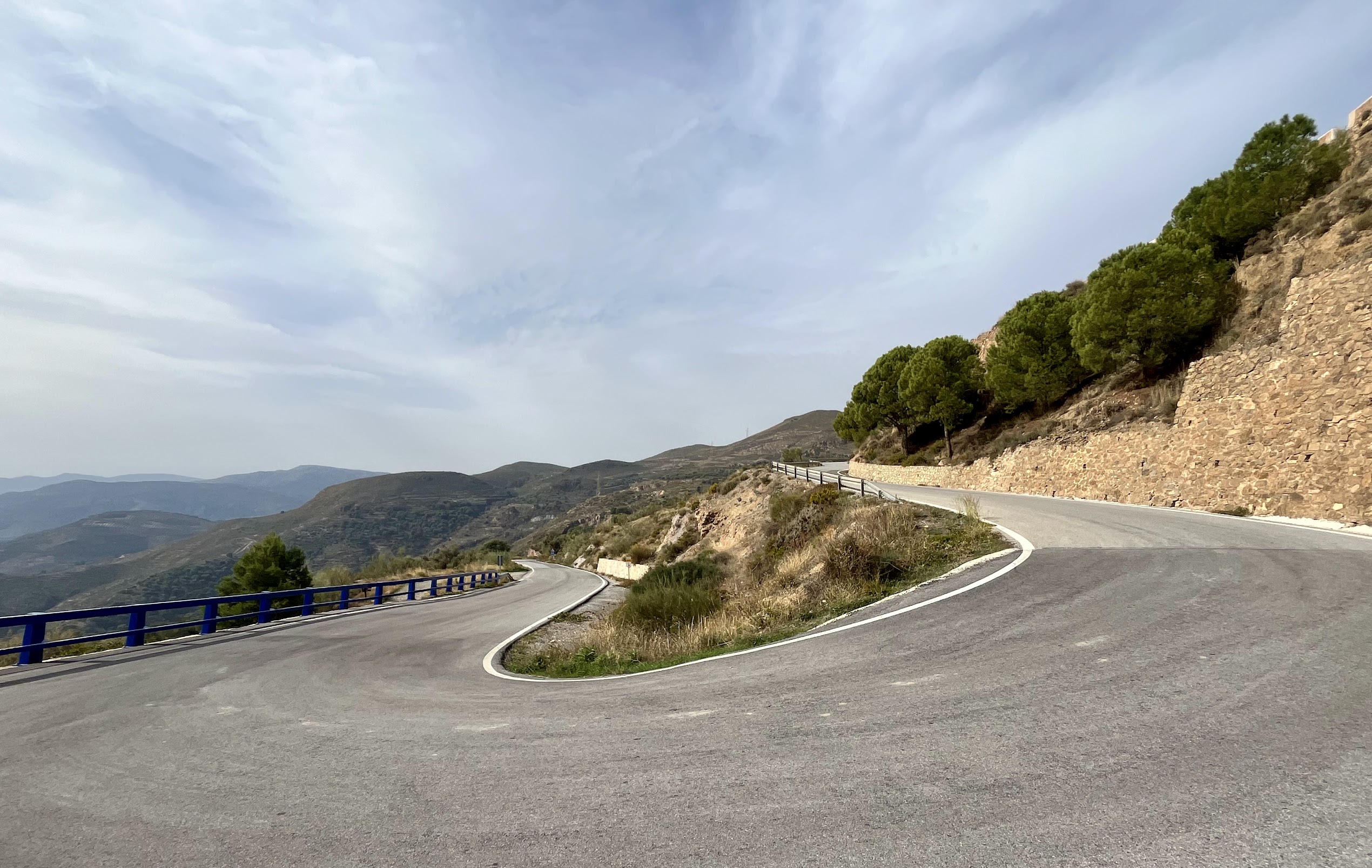
The ascent is a highlight in itself: a narrow road carved into the mountainside, twisting through a series of tight hairpins, each turn offering wider views across the valley and down toward the Mediterranean.
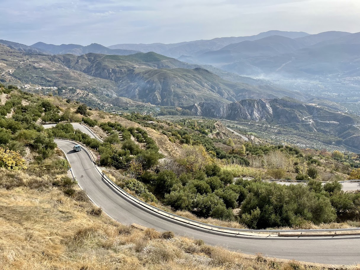
After cresting above Cáñar, a thrilling descent winds down to the quiet roads near Vélez de Benaudalla, framed by olive groves and wild terrain. The route then cuts inland and climbs gently through a rolling landscape dotted with whitewashed farmhouses and citrus trees, arriving in the twin villages of Pinos del Valle and Restábal – Alpujarran hamlets with timeworn charm and a peaceful pace of life.
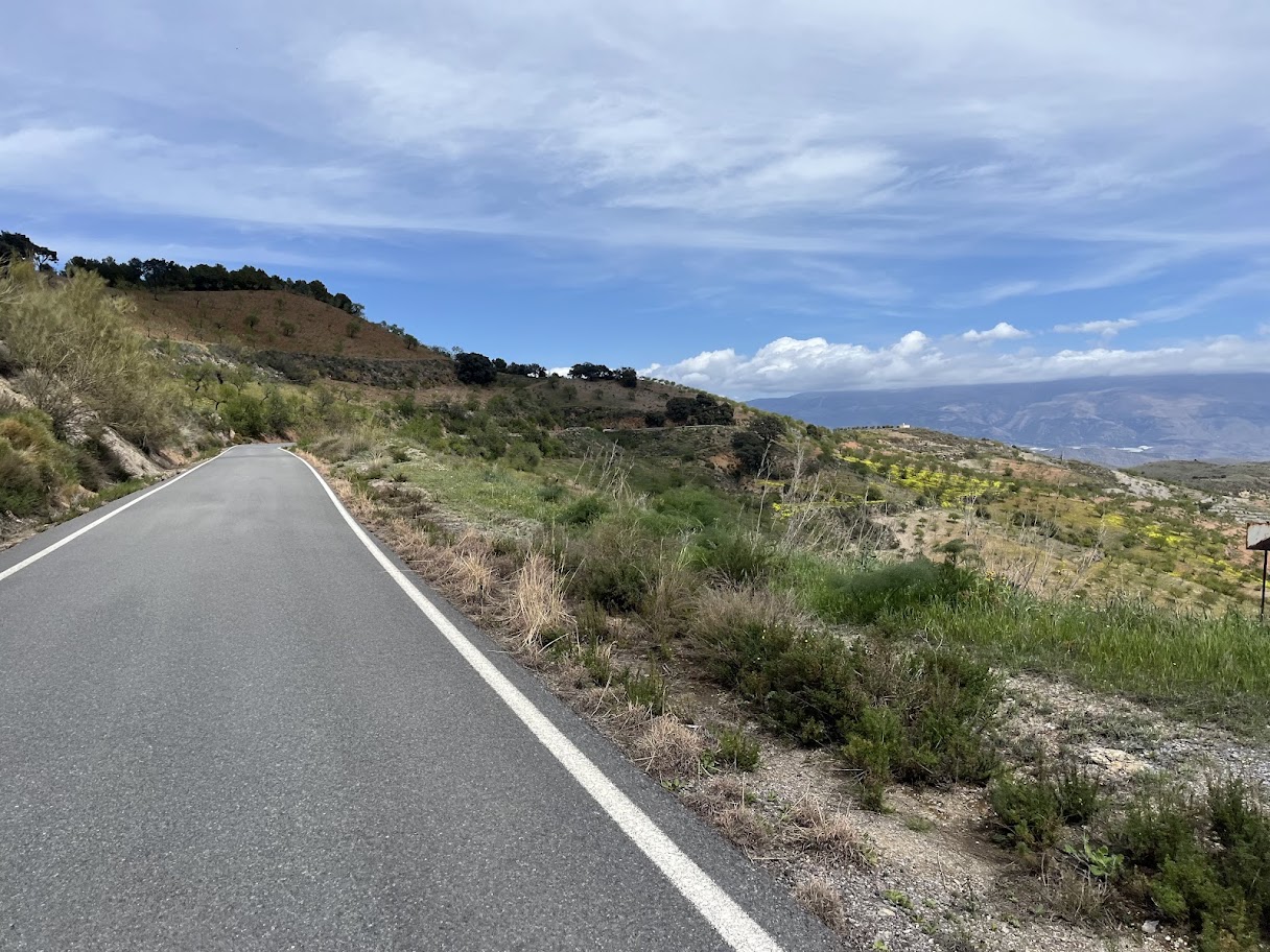
From here, the route loops back toward Órgiva via Lanjarón, known for its natural springs and spa heritage. The descent into town is smooth and fast, with the Sierra Nevada ever-present on the horizon.
You Might Also Like


Haza del Lino
Not yet discovered by the masses, this is a gem of a ride.


Ruta de la Cabra
The Goat's Path is an absolute beauty and must-do when you're in the area.


Sierra de Tejeda
One of the favorite loops of the pros when preparing for the Tour de France.
Read more
Articles covering this route, region, or country.

Top 5 cycling routes in Granada
Explore the best cycling routes in Granada. Snow-capped mountain climbs, empty valleys, butter-smooth roads, and historic cities are perfect for your next cycling holiday in Spain.

10 epic road rides in Andalucía
Discover 10 epic road cycling routes in Andalucía, Spain. Perfect for scenic rides, challenging climbs, and unforgettable cycling adventures.

Top 5 cycling routes in Málaga
Explore the best cycling routes in Málaga. Sunny coastal rides, mountain climbs, and scenic roads perfect for your next cycling holiday in Spain.