
Route Details
Steepest kilometre
The hardest continuous kilometre of Gravel: Valmadrid & the Canal Imperial, measured from the GPX track.
- Gradient
- 8.4% Very hard
- Where
- km 30.7 - 31.7
- Rise
- +85m
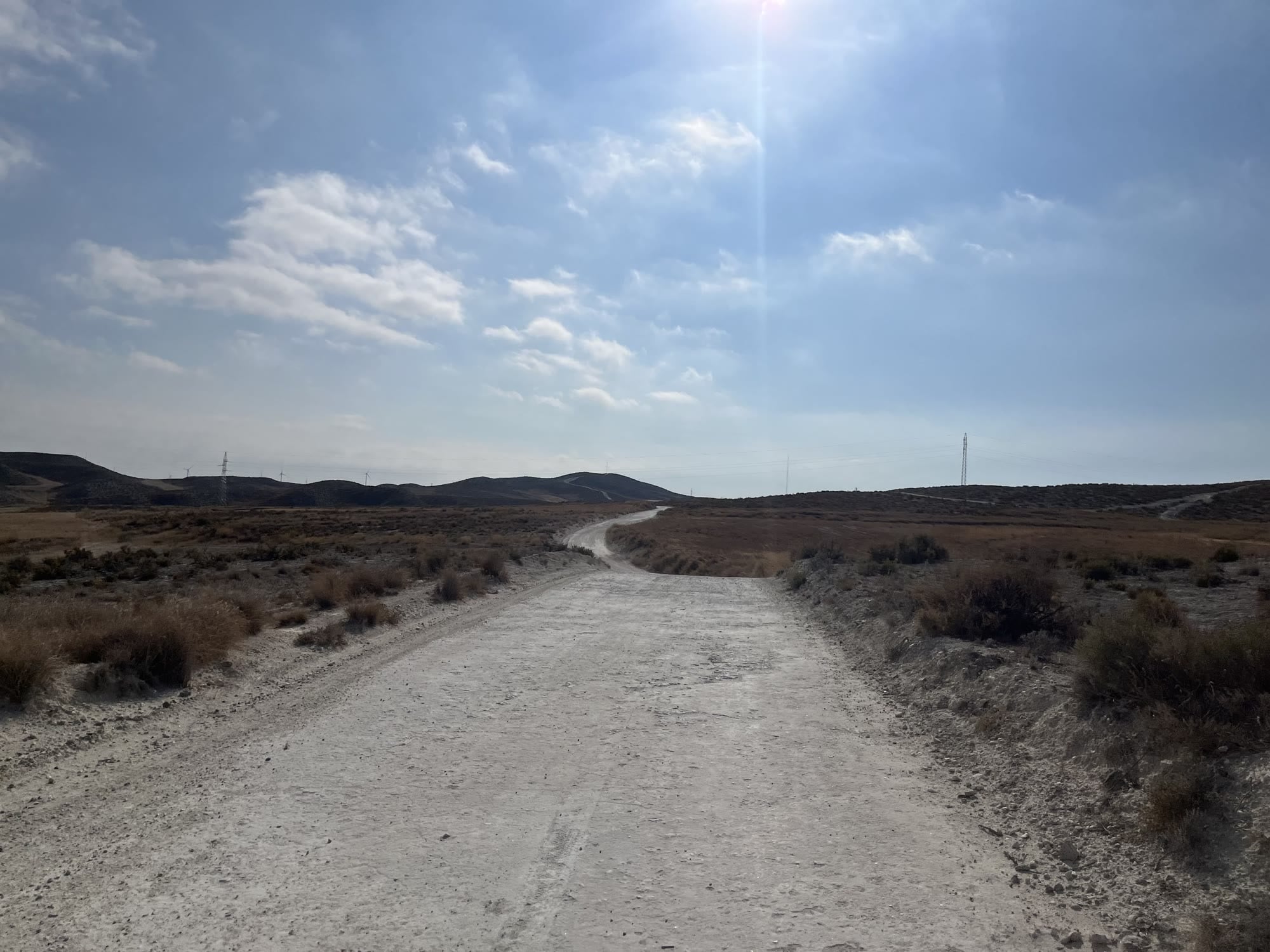
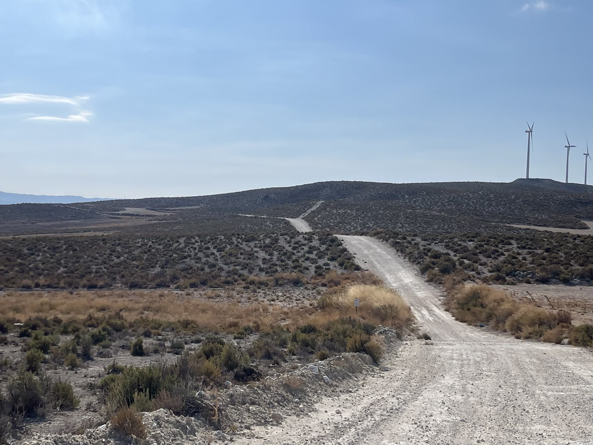
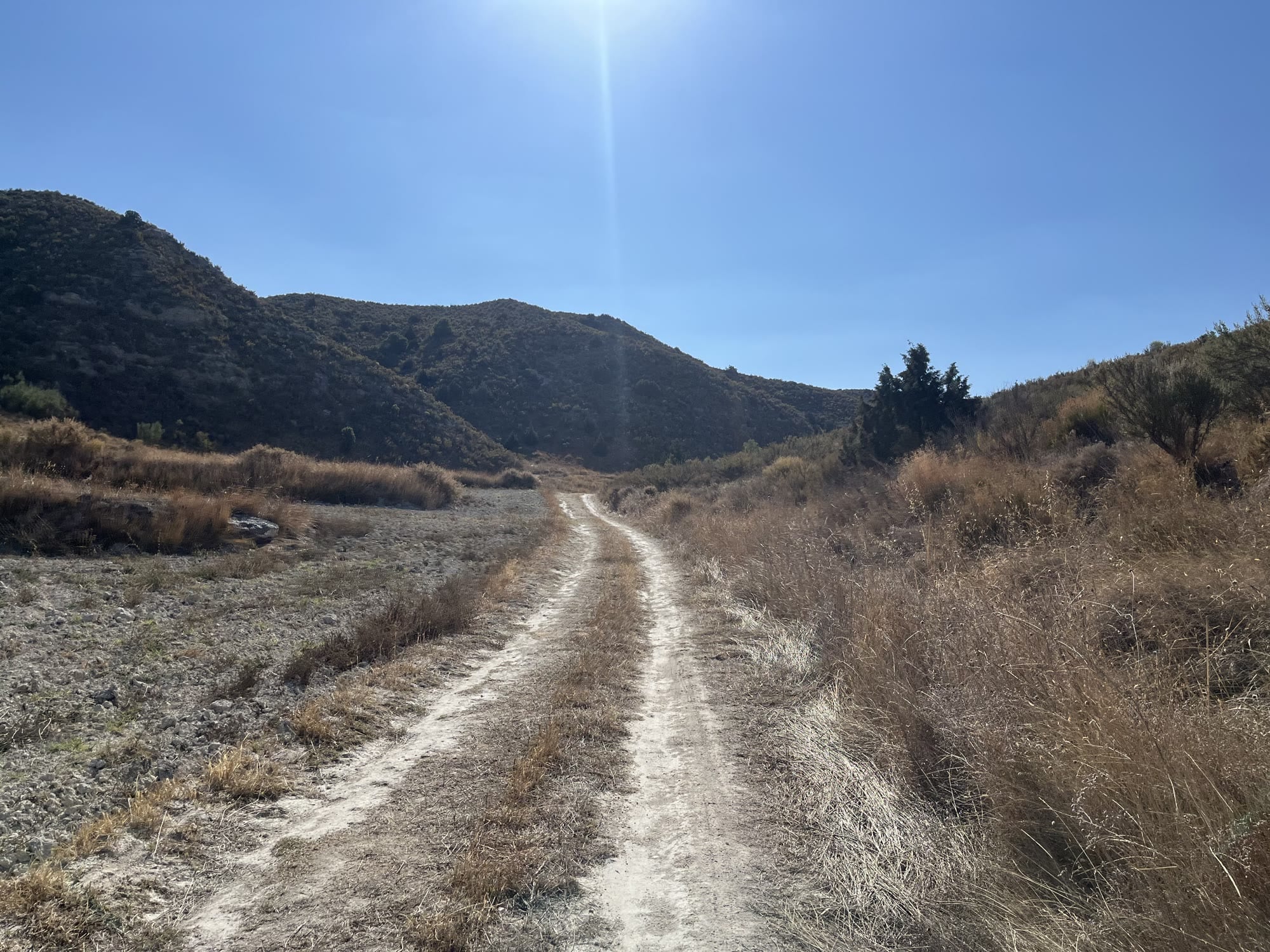
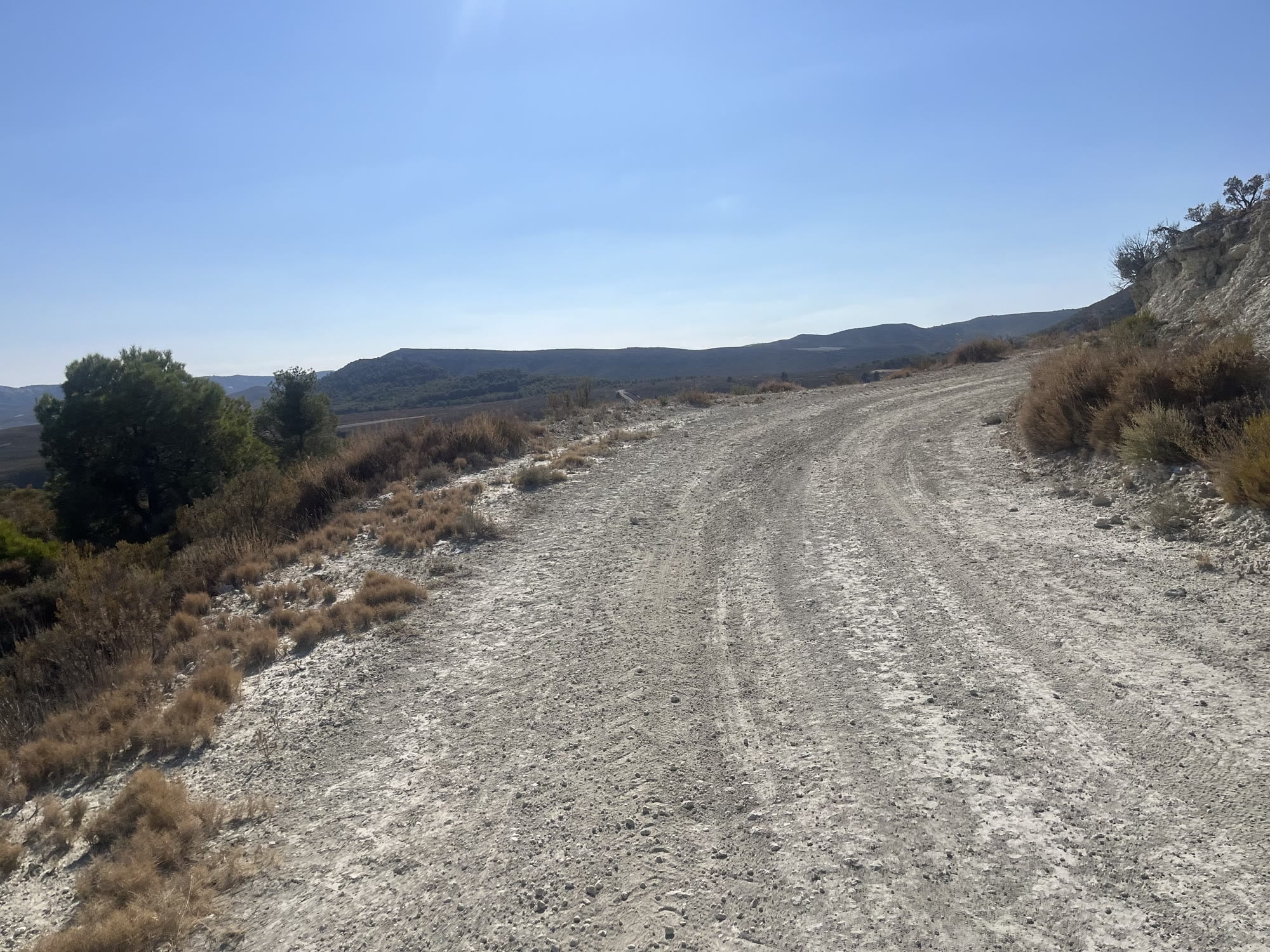
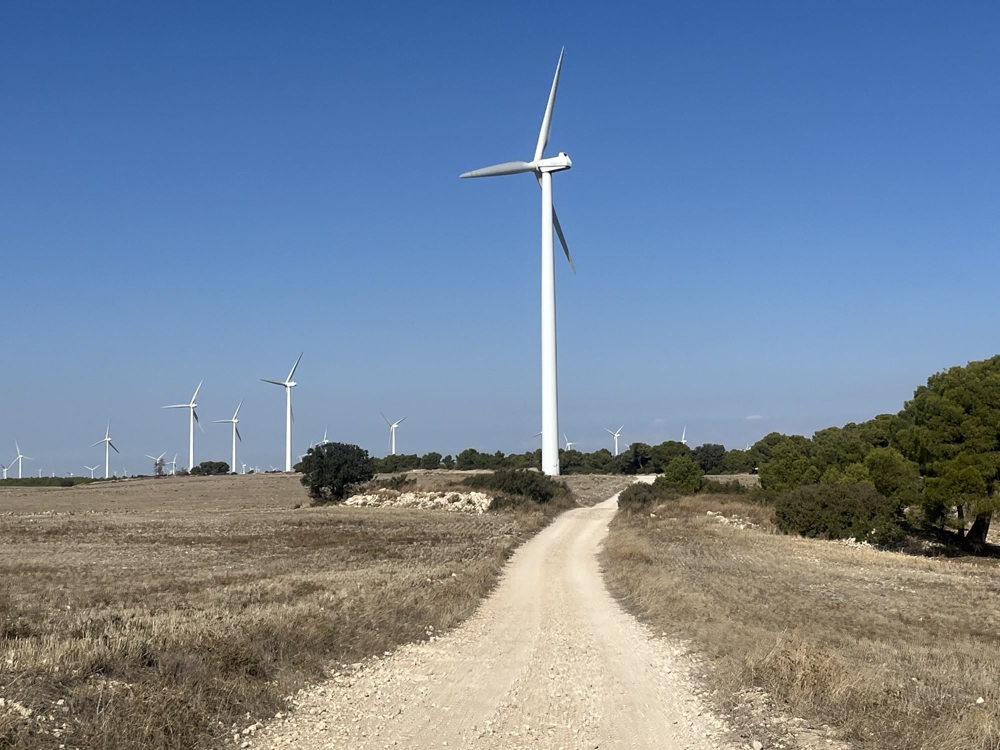
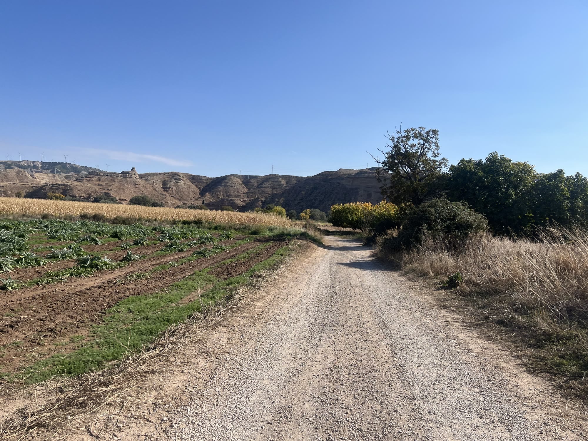
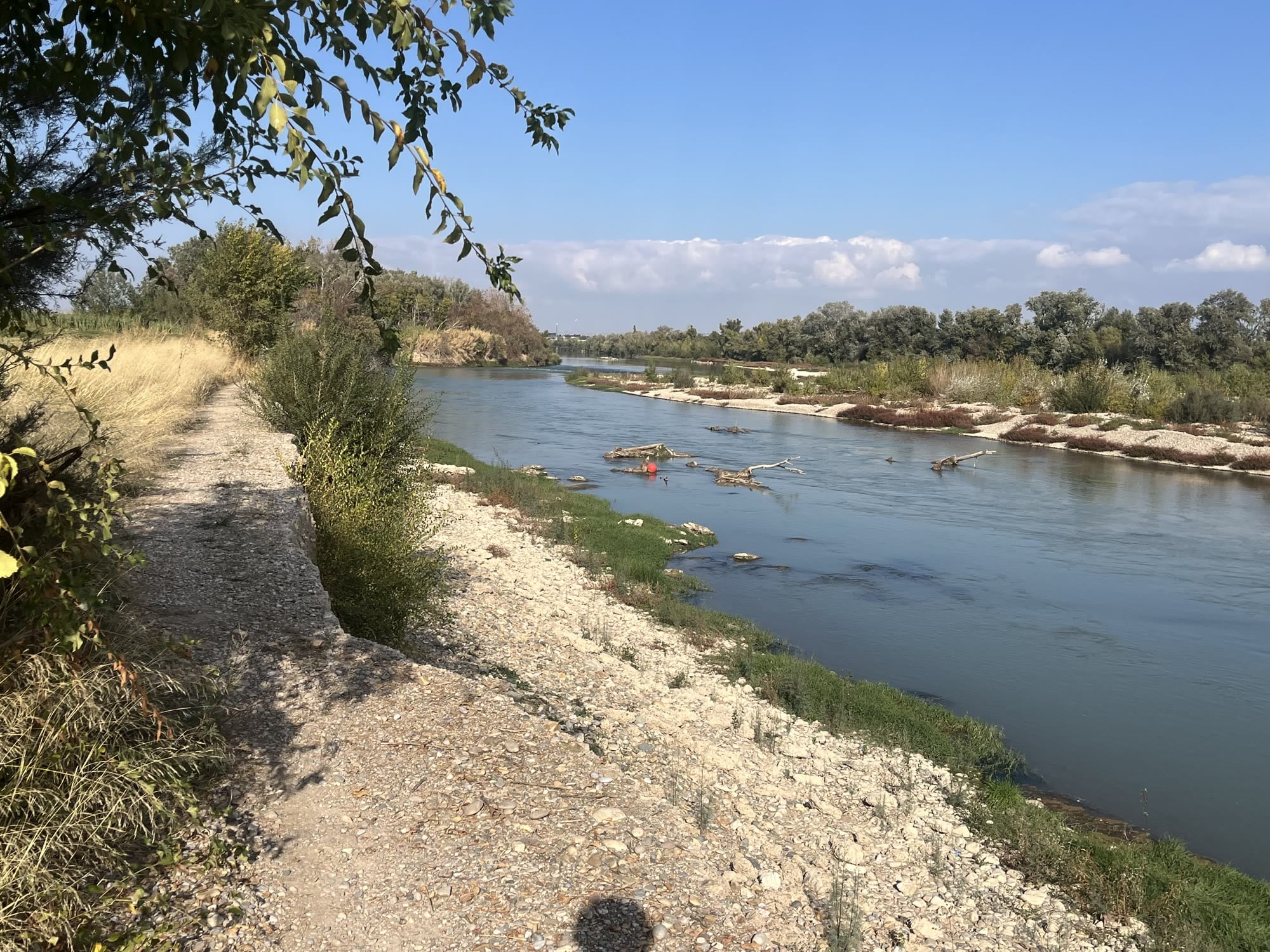
Where the Ebro loop keeps things flat, this one heads into the hills south of Zaragoza, climbing up to the ridge with the wind turbines. Almost no traffic whatsoever, and a really nice day out.
About 80 km with 750 meters of climbing, topping out just below 700 meters.
Route
The ride starts near the Basílica del Pilar and heads south through the Parque Grande. Once you leave the park behind, the city disappears surprisingly quickly, and the climbing starts almost straight away, though it’s gradual: over the first 25 kilometers you gain only about 250 meters. The landscape changes fast: the green river valley gives way to dry, open steppe with low scrub, crossed by wide white gravel roads.
The last part of the climb towards the high point near Valmadrid is steeper, and the wide gravel roads give way to double-track through the hills in places. Most of it is fine, but there are a few patches that are very steep. At the top, you ride right between the wind turbines, with views over the empty plateau in every direction.
Then comes the reward: a long, flowing descent towards María de Huerva. It’s never steep enough to be challenging, which means you can simply let the bike run and enjoy it. Lots of fun.
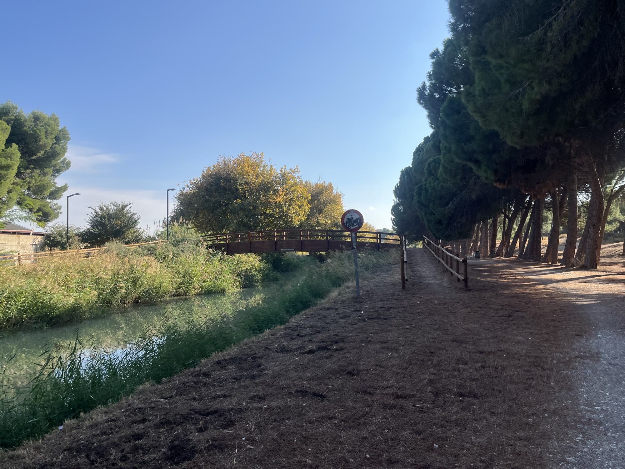
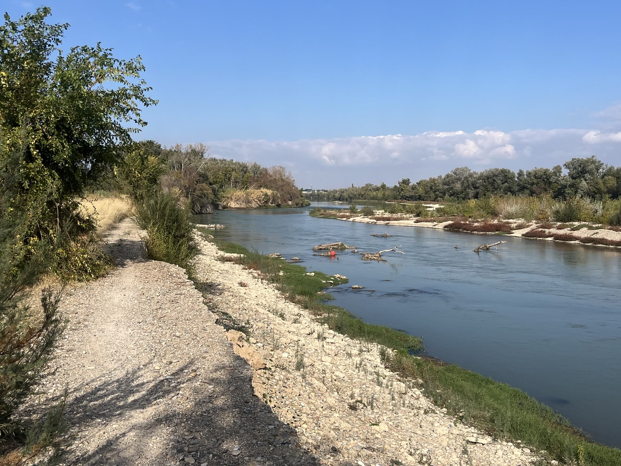
From María de Huerva and Cadrete, the route crosses farmland back towards the city. The final stretch follows the tree-lined Canal Imperial de Aragón and then the Ebro past La Cartuja, both very pleasant, before you roll back into the center.
Surface and bike
A normal gravel bike is fine. The surface is pretty good: not smooth, but firm and enjoyable. You’ll find some sharp rocks here and there, but nothing out of the ordinary.
Before you go
- It’s remote. Once you leave the park, you’re quickly out in empty country, and there’s little out there between the city and María de Huerva. Carry enough water and food for the whole loop, and a basic repair kit.
- Shade is scarce on the steppe. In summer, start early.
- Wind. I had none, but Zaragoza is known for the cierzo, a strong north-westerly wind. On an exposed route like this one, it’s worth checking the forecast.
Who is it for?
It’s a bit more demanding than the Ebro loop, mostly because of the distance and the few steep patches near the top, but nothing extreme. If you’re comfortable with 80 km on gravel, you’ll have a great day out.
You Might Also Like


Gravel: Juslibol & the Ebro
A flat gravel loop from the old town along the Ebro, past the white cliffs of Juslibol and out across the fields towards Utebo and Sobradiel.


Calar Alto
Epic climb to the otherworldly Calar Alto Observatory.


Alto de Velefique
The Spanish equivalent of Alpe d'Huez.
Read more
Articles covering this route, region, or country.
10 epic road rides in Andalucía
Discover 10 epic road cycling routes in Andalucía, Spain. Perfect for scenic rides, challenging climbs, and unforgettable cycling adventures.

Top 5 cycling routes in Granada
Explore the best cycling routes in Granada. Snow-capped mountain climbs, empty valleys, butter-smooth roads, and historic cities are perfect for your next cycling holiday in Spain.

Top 5 cycling routes in Málaga
Explore the best cycling routes in Málaga. Sunny coastal rides, mountain climbs, and scenic roads perfect for your next cycling holiday in Spain.