
Route Details
Steepest kilometre
The hardest continuous kilometre of Gravel: Juslibol & the Ebro, measured from the GPX track.
- Gradient
- 2.0% Steady
- Where
- km 7.6 - 8.6
- Rise
- +20m
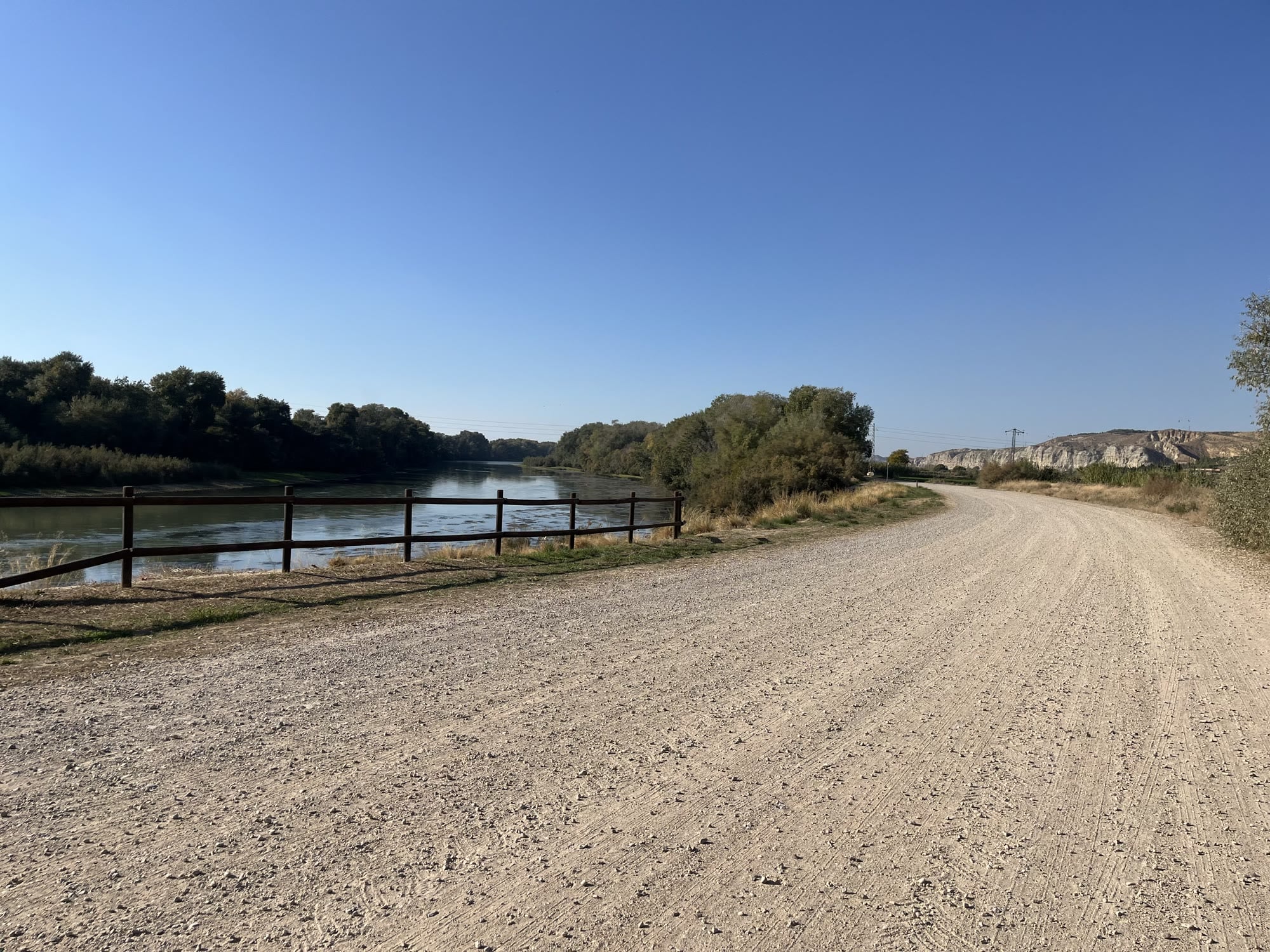
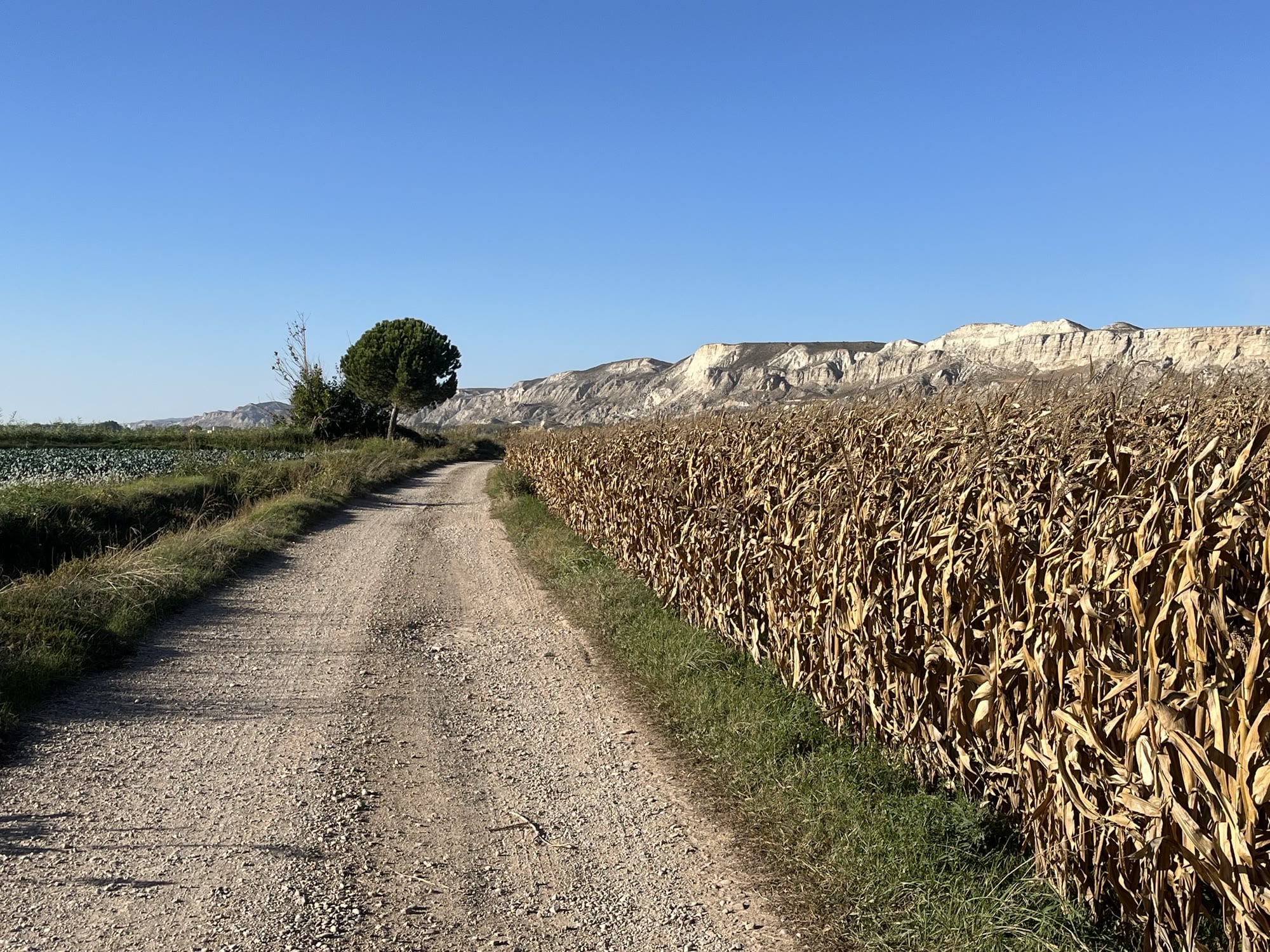
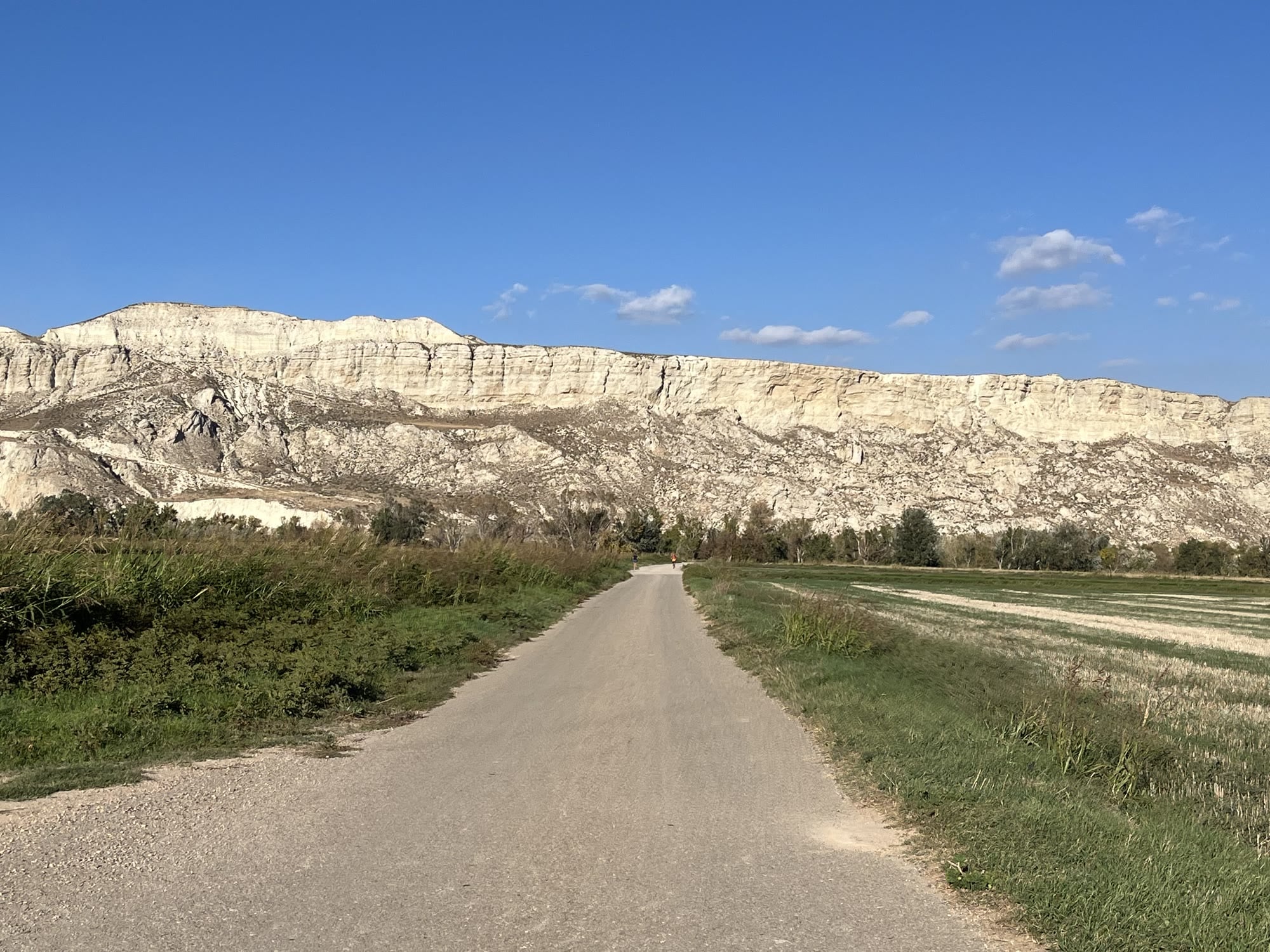
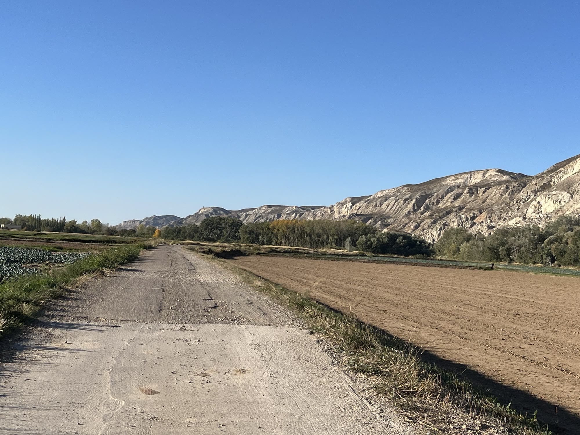
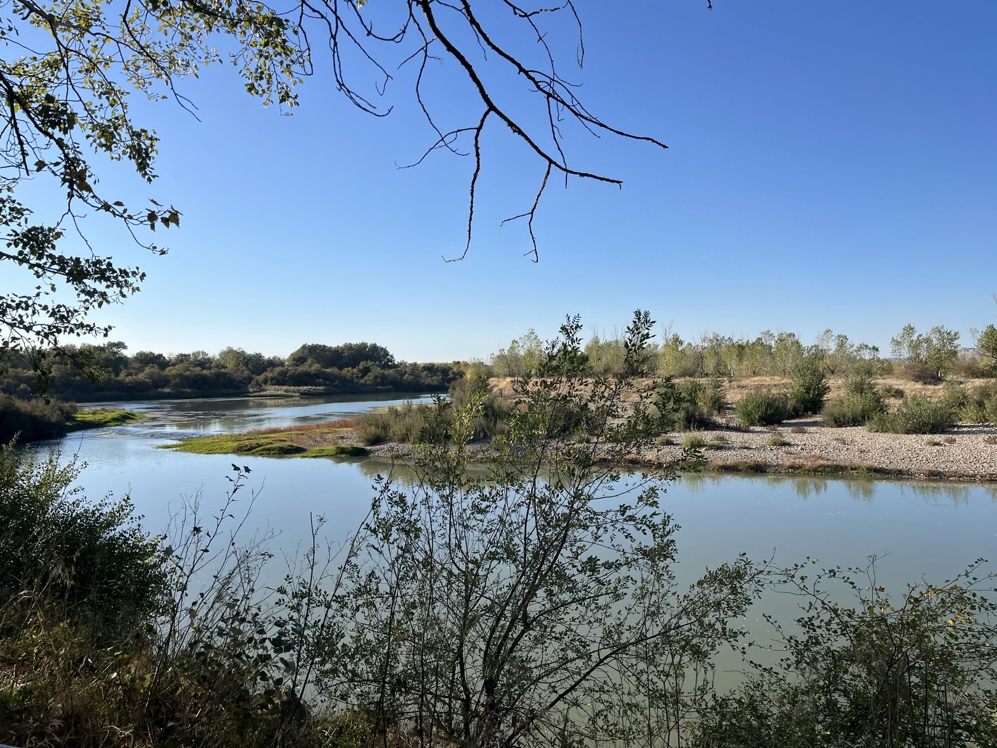
An easy gravel loop straight from the old town that does little more than follow the Ebro. It’s flat, the surroundings are lovely, and it makes a perfect first ride to get to know the area.
About 41 km with hardly any climbing at all: the whole ride stays between roughly 195 and 220 meters.
Route
The ride starts near the Basílica del Pilar. You cross the river and head upstream towards Juslibol, and within a few kilometers the city gives way to wide gravel tracks right along the water.
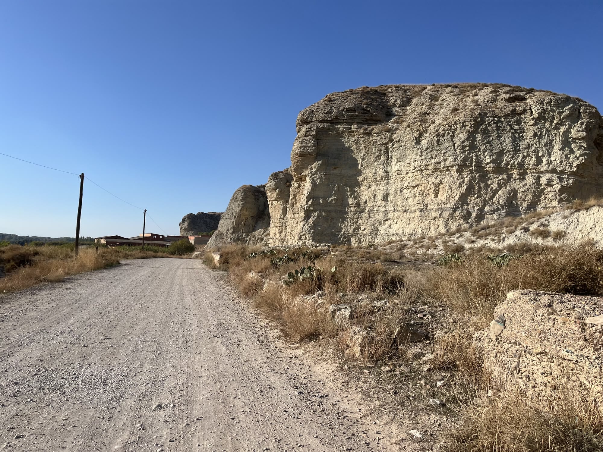
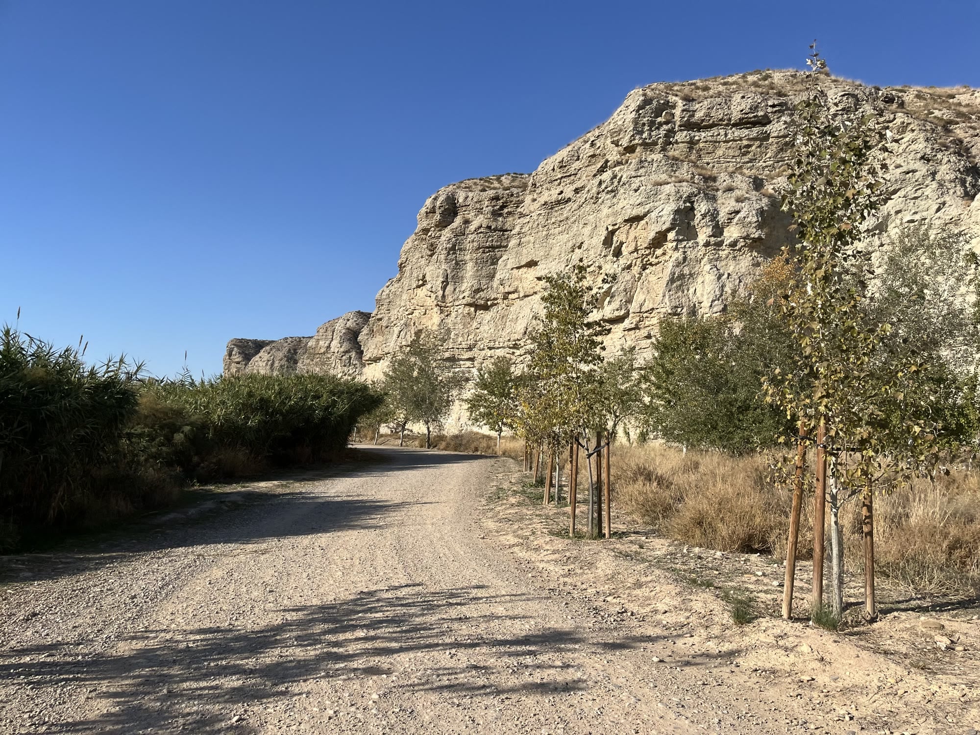
The highlight comes soon after: the white cliffs of Juslibol. The track runs right beside them, a wall of rock rising straight out of the flat floodplain. Riding alongside it is a beautiful and unique sight.
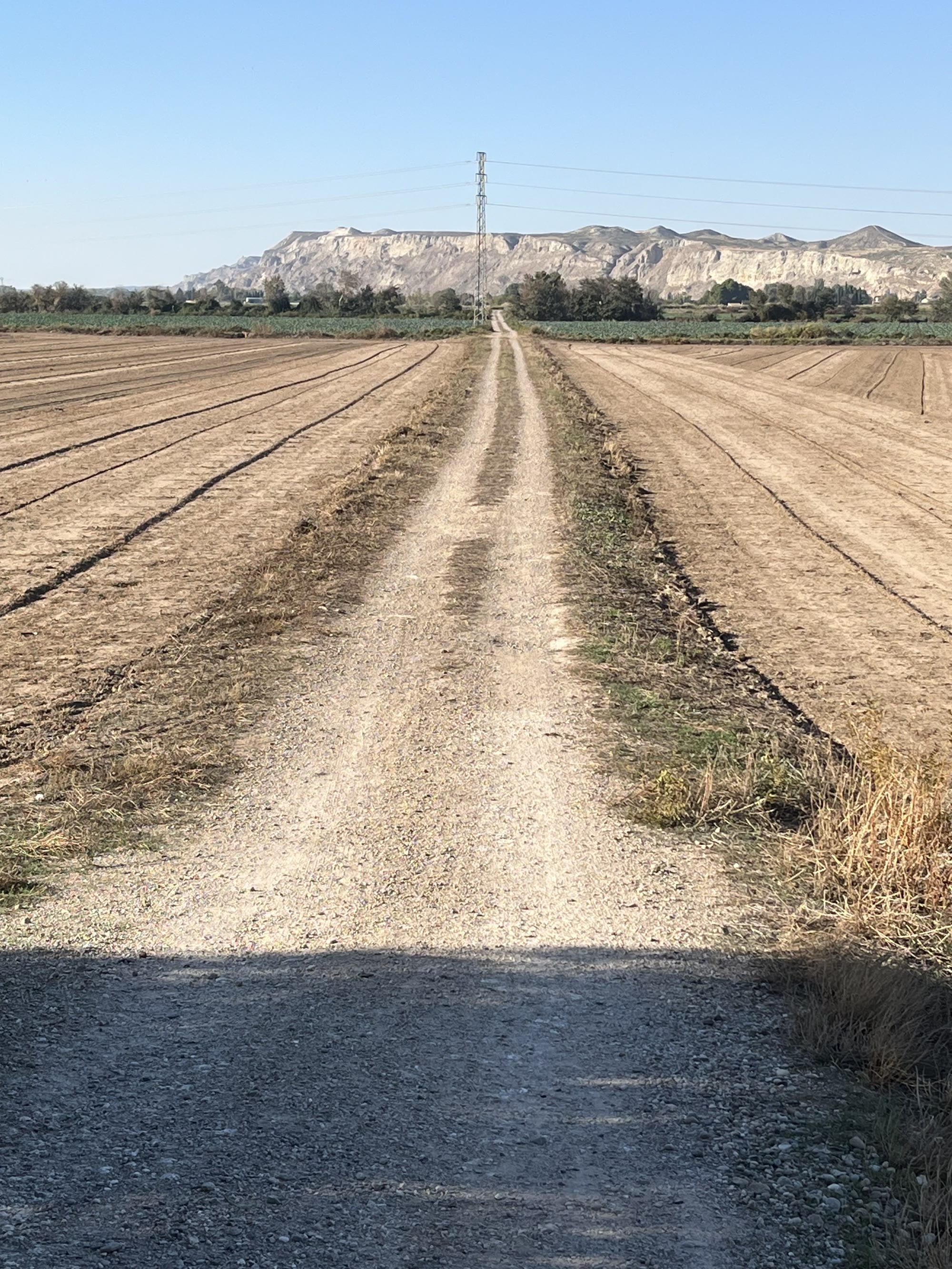
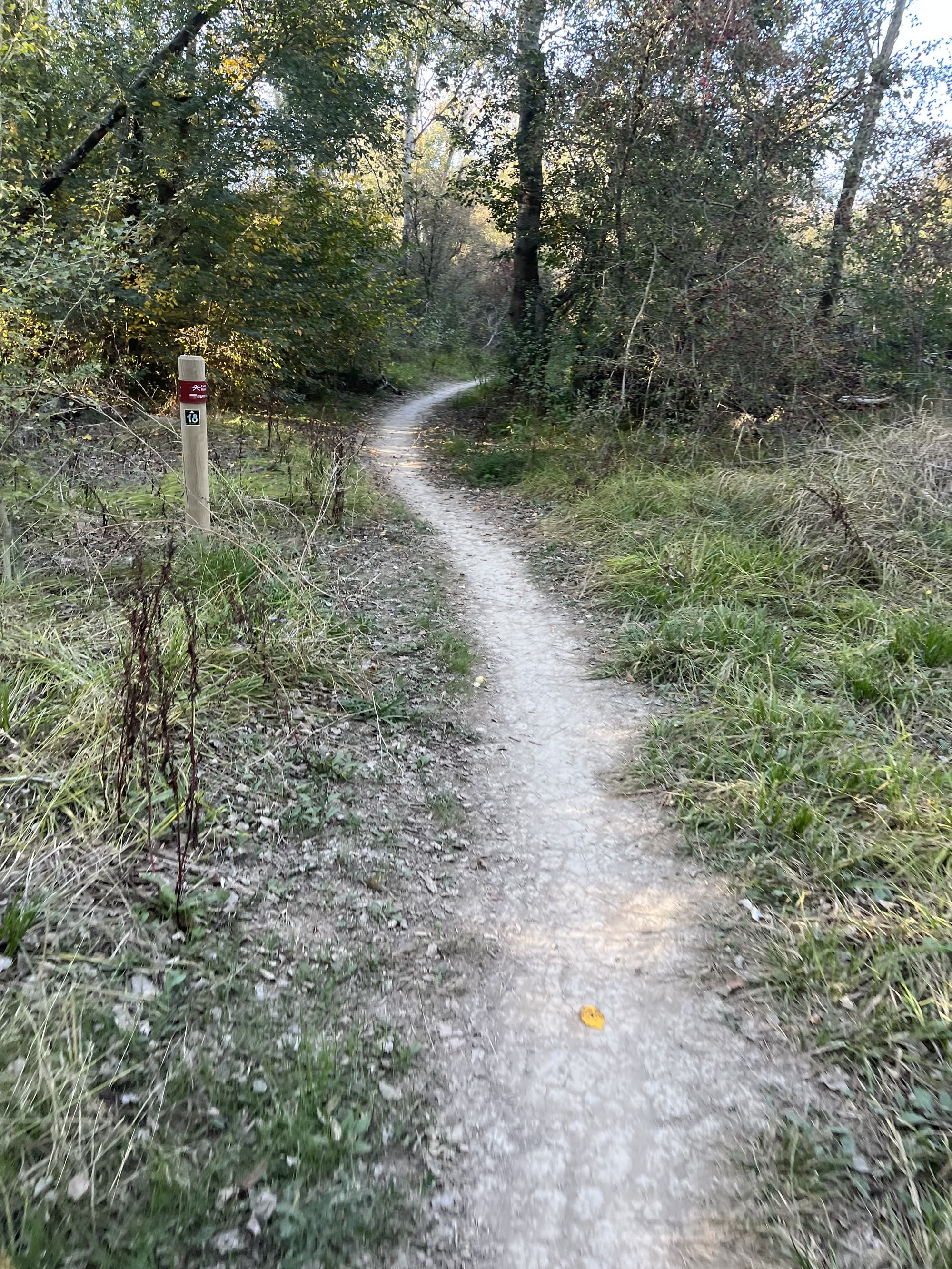
From there, the route continues across open farmland towards Utebo and Sobradiel, mostly on long, straight farm tracks between ploughed fields and cornfields, with the cliffs as a backdrop on the horizon. On the way back, you follow the river again, including a short stretch of singletrack through the riverside woods, before returning to the center.
Surface and bike
A normal gravel bike is all you need. The surface is pretty good throughout: not smooth, buttery gravel, but firm and enjoyable to ride. Here and there you’ll come across some sharp rocks, but nothing out of the ordinary.
The singletrack through the woods is very pleasant and not technical at all, unless you decide to take it at high speed.
Who is it for?
Anyone. With no climbing to speak of, this is a very easy ride, good for a first day, an easy spin after travelling, or for riders new to gravel. If you’re after something more demanding, the Valmadrid loop heads into the hills south of the city.
You Might Also Like


Gravel: Valmadrid & the Canal Imperial
South out of the city onto the empty steppe and the wind farms around Valmadrid, then back via María de Huerva, the Canal Imperial and the Ebro.


Calar Alto
Epic climb to the otherworldly Calar Alto Observatory.


Alto de Velefique
The Spanish equivalent of Alpe d'Huez.
Read more
Articles covering this route, region, or country.
10 epic road rides in Andalucía
Discover 10 epic road cycling routes in Andalucía, Spain. Perfect for scenic rides, challenging climbs, and unforgettable cycling adventures.

Top 5 cycling routes in Granada
Explore the best cycling routes in Granada. Snow-capped mountain climbs, empty valleys, butter-smooth roads, and historic cities are perfect for your next cycling holiday in Spain.

Top 5 cycling routes in Málaga
Explore the best cycling routes in Málaga. Sunny coastal rides, mountain climbs, and scenic roads perfect for your next cycling holiday in Spain.