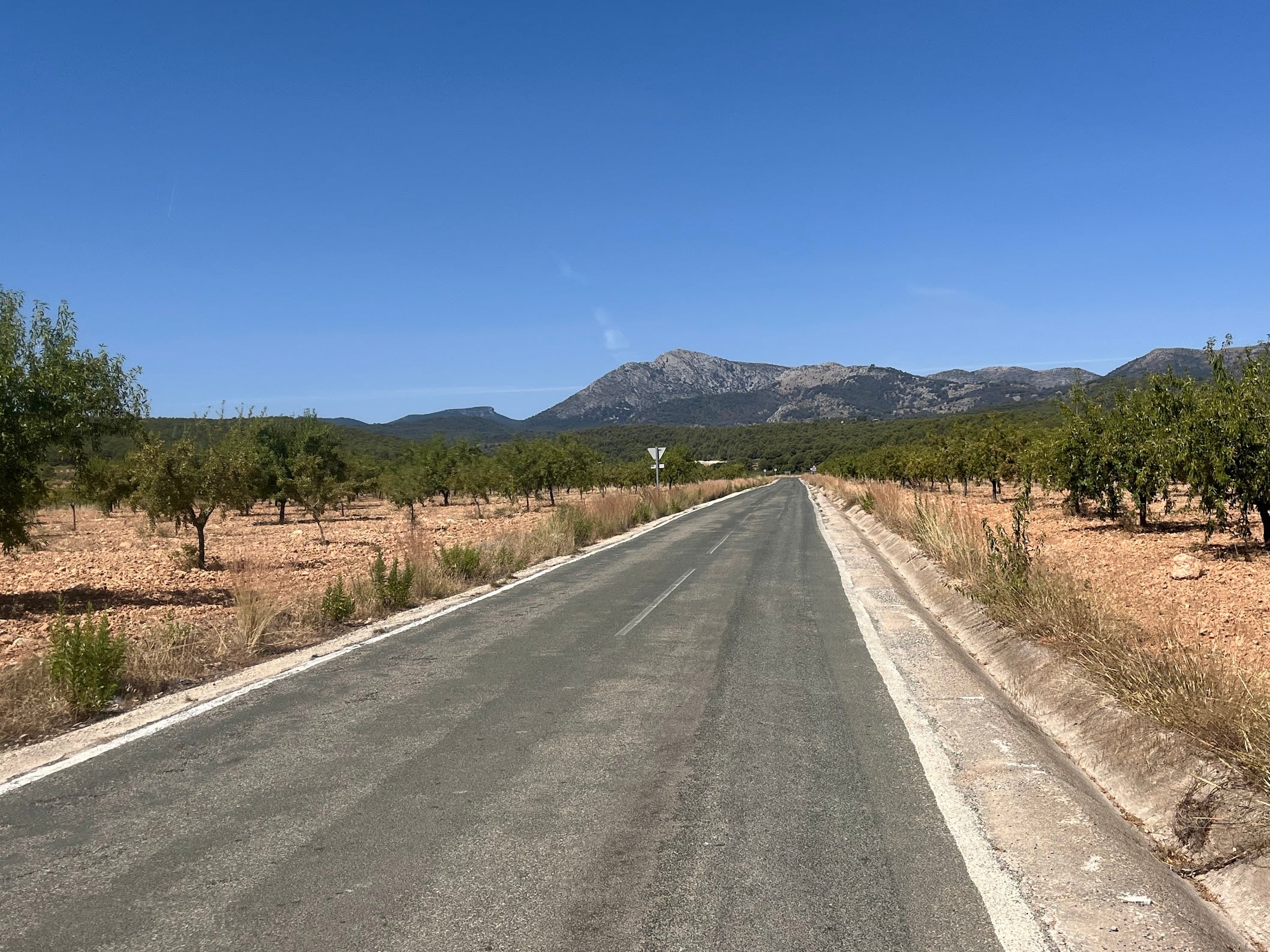
A short, sharp 42 km loop from Totana that gets straight down to business. The main climb of the day, the Collado Bermejo, starts almost from the front door, and the sting in the tail is a punchy climb back up to the sanctuary at the finish. 942 m of climbing in 42 km - not long, but the legs will know about it.
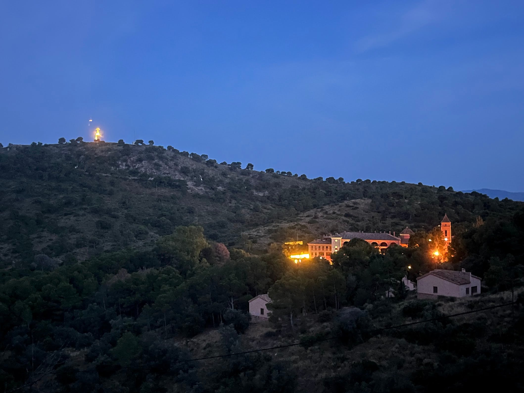
Start point is the Convento Santuario de Santa Eulalia (also known as Jardines de la Santa), tucked just above Totana on the southern edge of the Parque Regional de Sierra Espuña.
The route
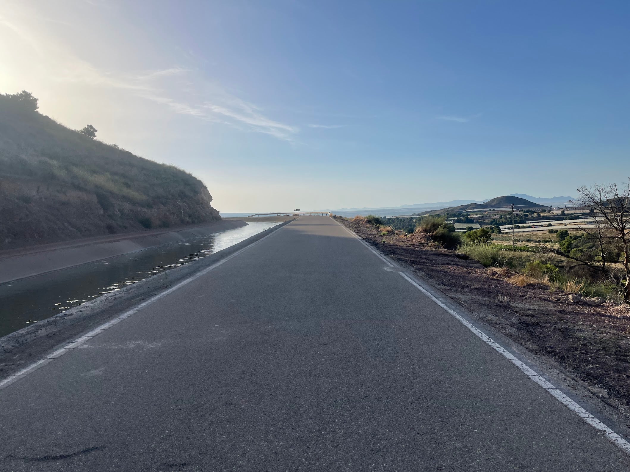
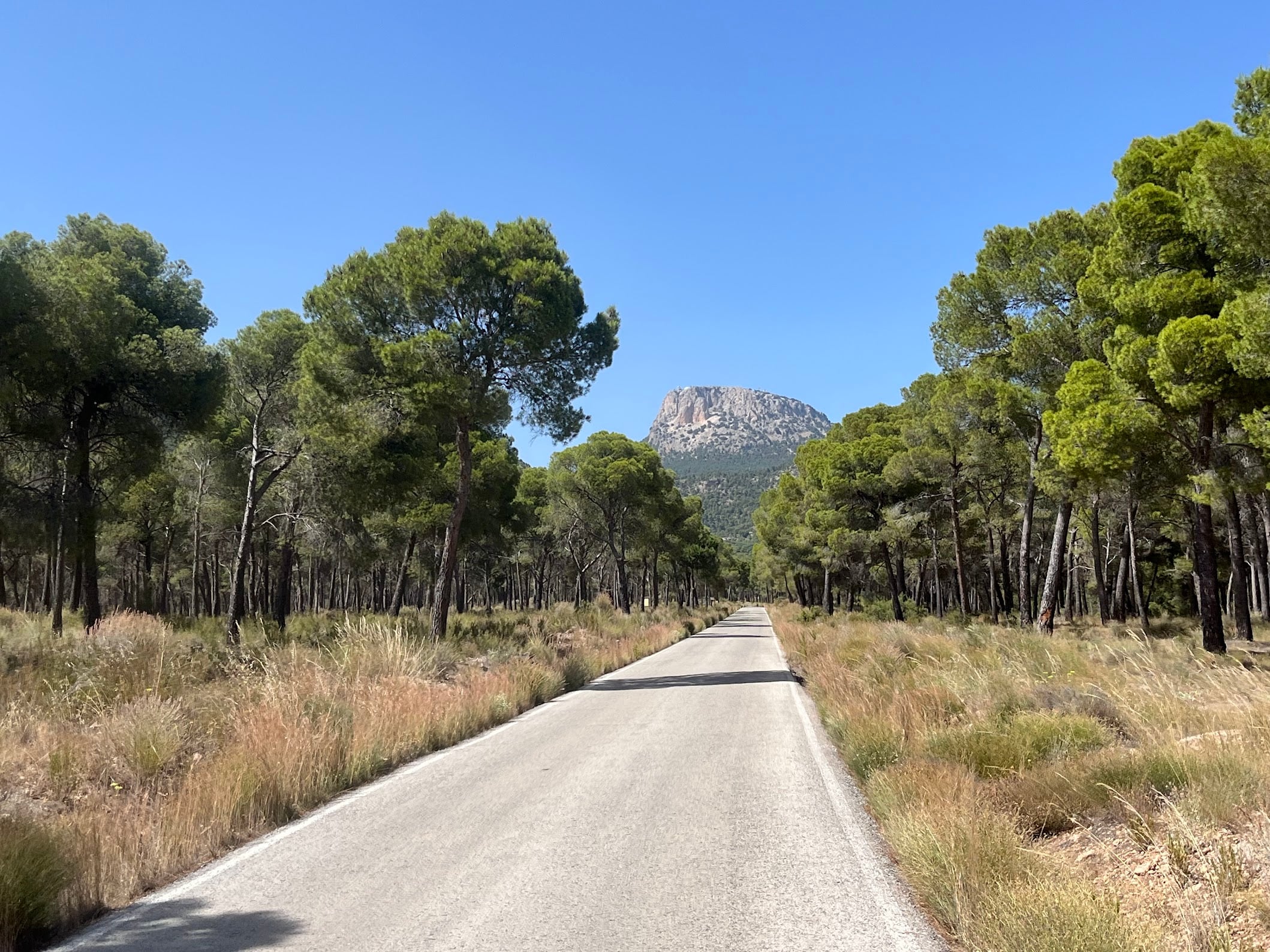
There is no warm-up. The road tilts up almost from the moment you clip in and stays up for the next 8 and a bit kilometres. Once you tip over the Collado Bermejo, a long, twisting descent through the park drops you back toward the valley floor. At the bottom you turn right onto the service road that runs alongside the Canal Principal de la Margen Derecha - traffic-free, flat, and elevated above the valley with beautiful views the whole way. It hugs the canal almost all the way back to the foot of the sanctuary, where the final climb begins. One word of warning: the road surface is rough and littered with debris. I punctured here on both rides through, so run sturdier tyres or take it carefully.
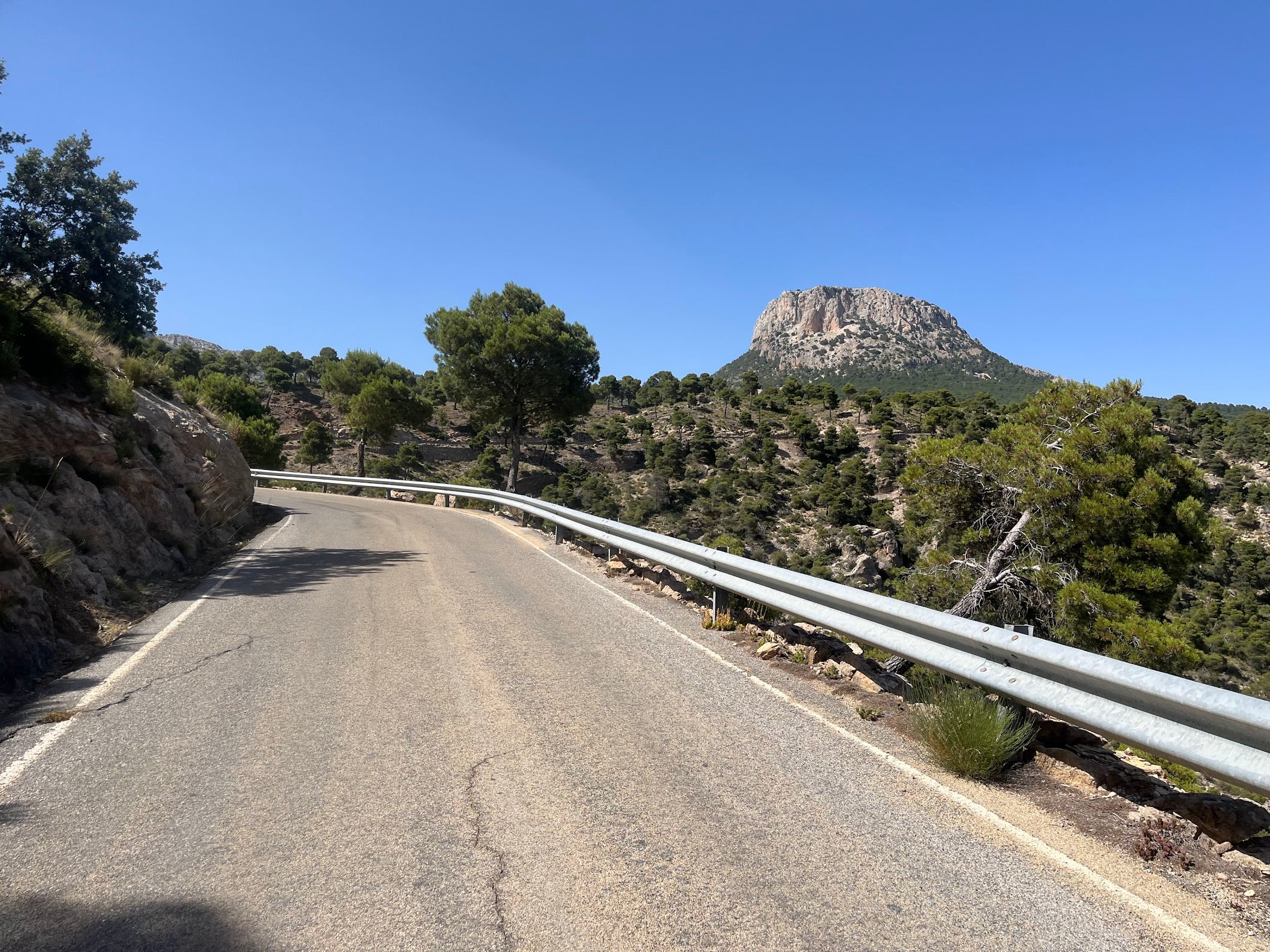
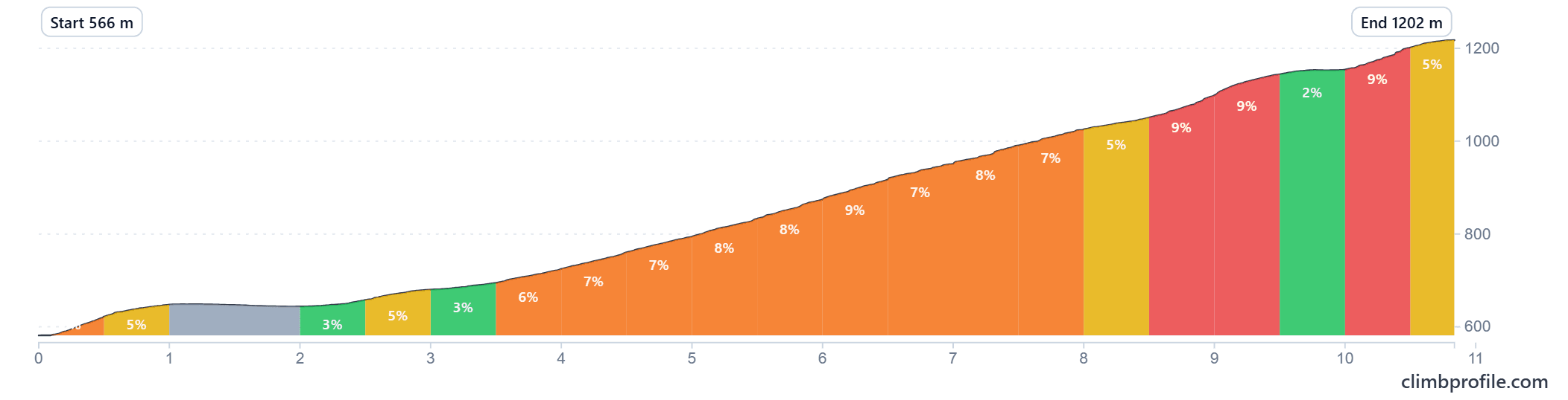
Collado Bermejo (km 0 - 11)
8.44 km at 6.7% average, gaining 636 m from 566 m to 1,202 m.
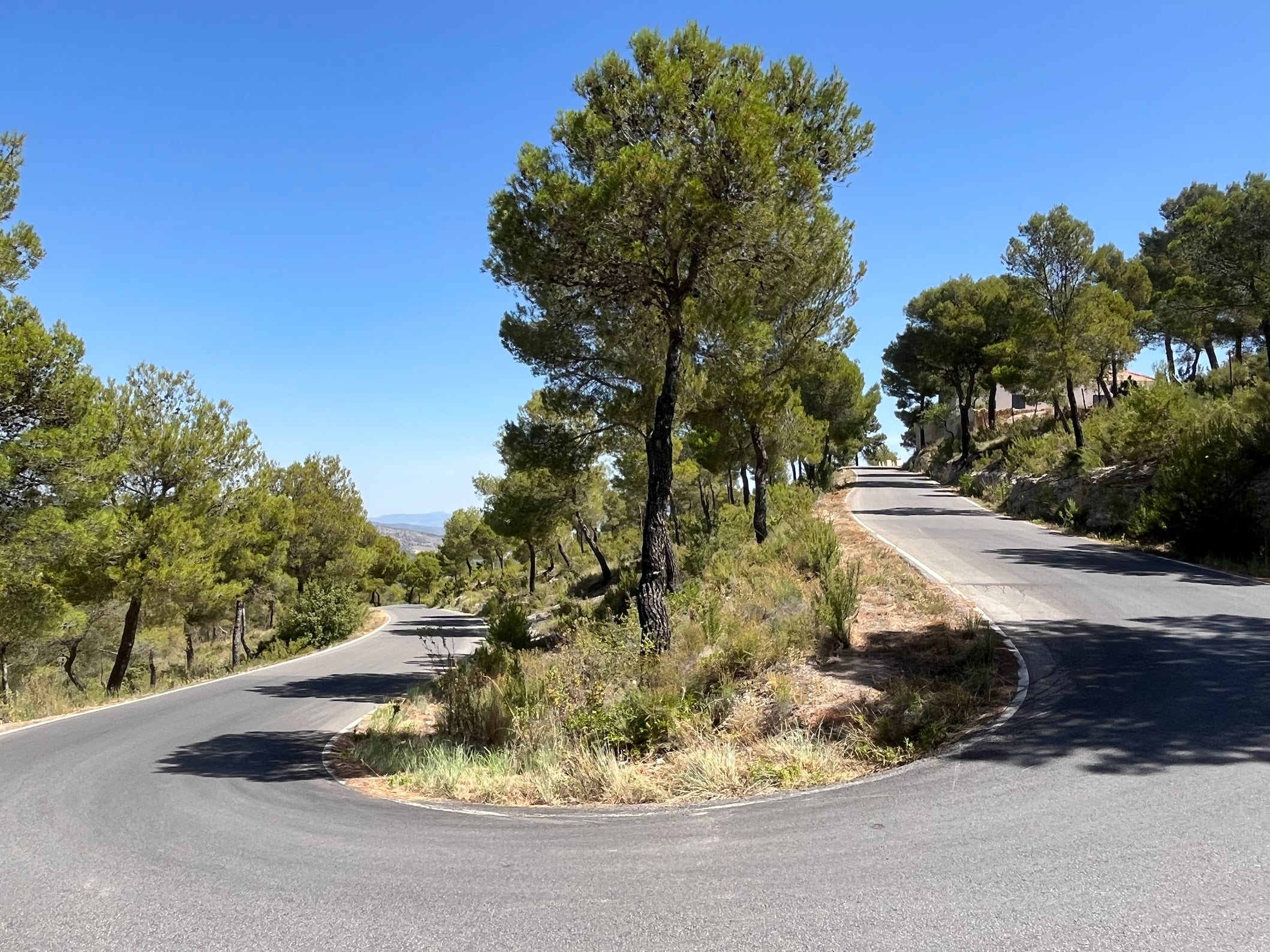
The average is deceiving. The first 2 km roll along easy, but from km 3.5 onwards the road settles into long stretches of 7-9% with regular kicks. Plenty of switchbacks break it up and make it feel manageable, but there is very little shade - in summer the sun on this side of the sierra is brutal and the air sits still.
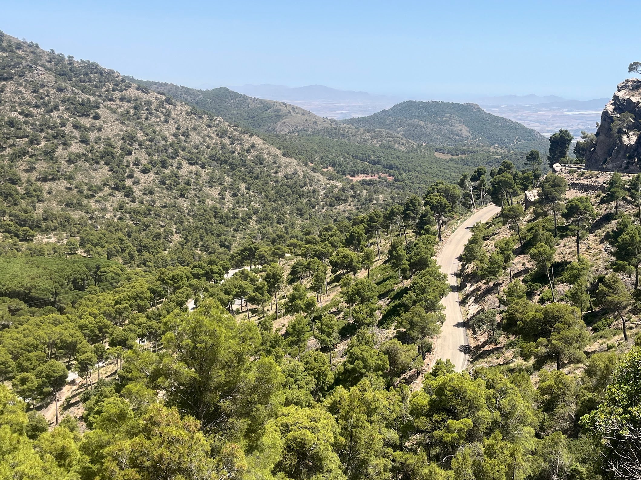
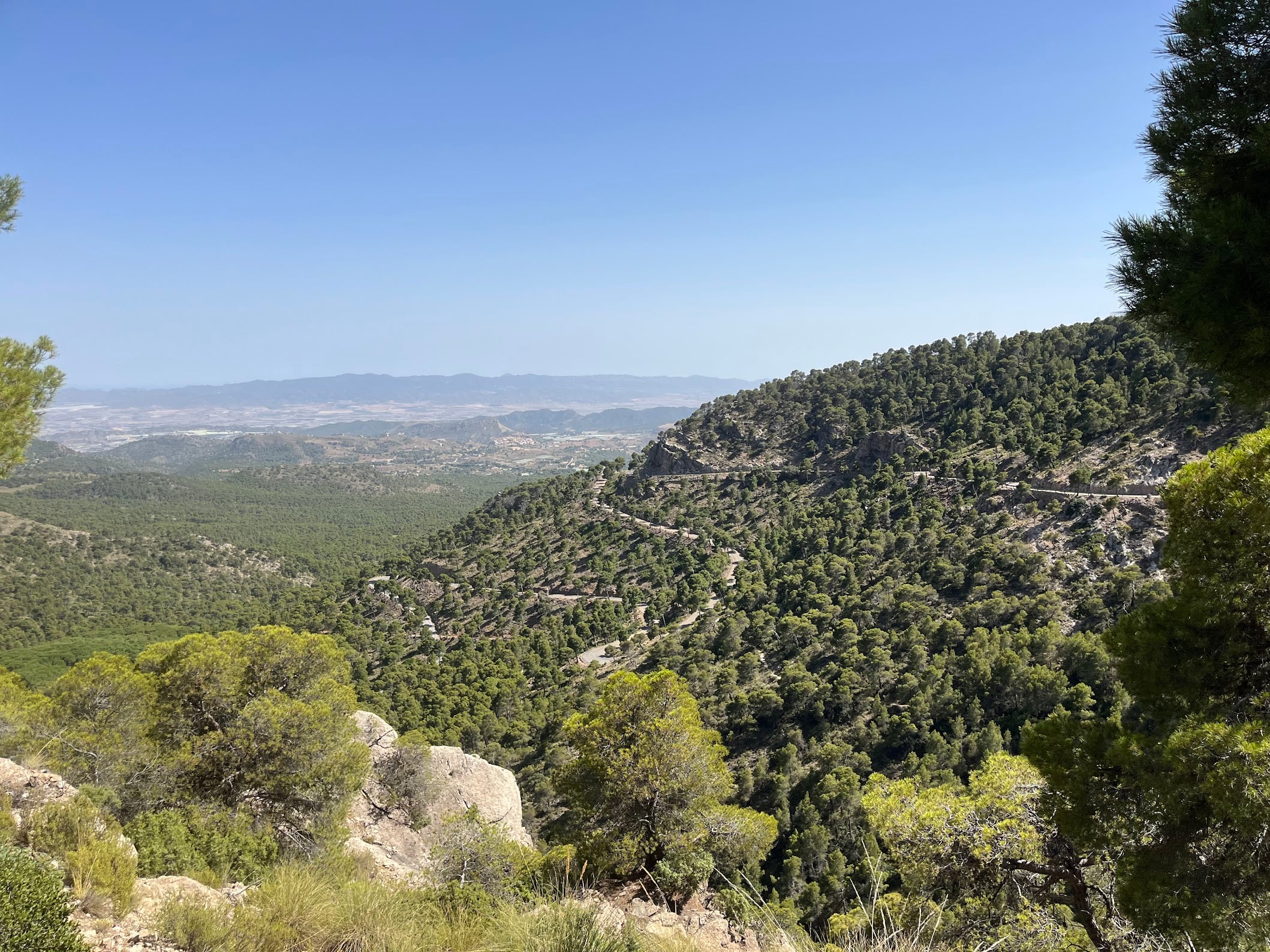
The descent
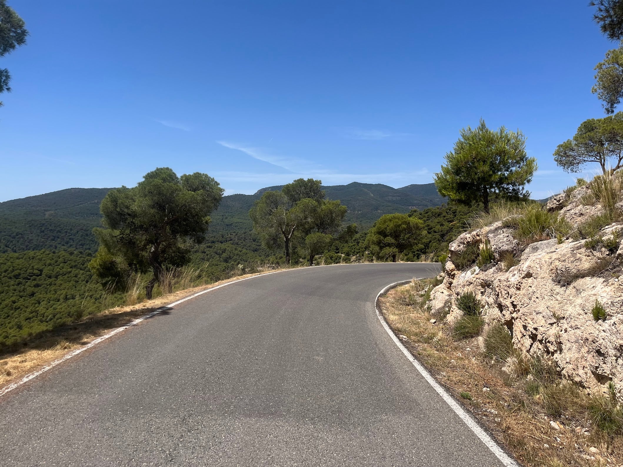
The descent off the Bermejo is slow. The road is narrow, the switchbacks come thick and fast, and the corners are tight. The upside is that traffic is essentially zero inside the park - on a typical ride you will see no cars at all, which is a rare treat. Take it easy, enjoy the view, and let the legs recover before the final climb.
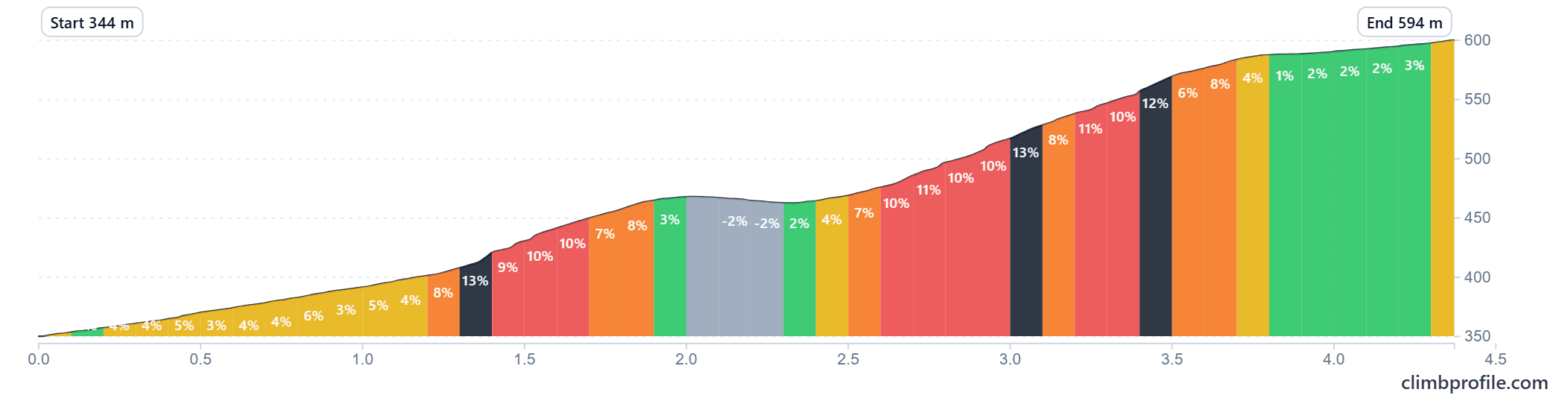
Final climb back to the sanctuary (last ~5 km)
4.66 km at 5.5% average, climbing from 344 m to 594 m.
Another set of misleading numbers. The first kilometre is gentle. From around km 1.3, the gradient ramps up properly, with sustained stretches at 10-11% and a couple of nasty pitches at 12-13%. After a brief flat/downhill respite around km 2, the second hard section bites again with 10-12% ramps before the road eases off in the last few hundred metres back to the sanctuary.
Fueling
Top up in Totana before the start. There is nothing on the climb itself, nothing inside the park, and the canal road has no shops either. Carry everything you need - in the heat that means more water than feels reasonable.
When to ride
The summit of the Bermejo sits at 1,202 m. March to May and September to November are the best windows. Summer is rideable at sunrise but the south-facing climb gets cooked by midday and the air does not move. Winter mornings up top are cold, but the valley start is usually civilised.
Getting there
Murcia airport (RMU) is the closest at about 45 minutes by car. Alicante (ALC) is 90 minutes north with more flight options. Totana sits on the A-7 between the two.
You Might Also Like


Sierra Espuña loop
A 130 km loop from Totana into the Parque Regional de Sierra Espuña, with the big Collado Bermejo climb between km 95 and 119.


Calar Alto
Epic climb to the otherworldly Calar Alto Observatory.


Alto de Velefique
The Spanish equivalent of Alpe d'Huez.
Read more
Articles covering this route, region, or country.
10 epic road rides in Andalucía
Discover 10 epic road cycling routes in Andalucía, Spain. Perfect for scenic rides, challenging climbs, and unforgettable cycling adventures.

Top 5 cycling routes in Granada
Explore the best cycling routes in Granada. Snow-capped mountain climbs, empty valleys, butter-smooth roads, and historic cities are perfect for your next cycling holiday in Spain.

Top 5 cycling routes in Málaga
Explore the best cycling routes in Málaga. Sunny coastal rides, mountain climbs, and scenic roads perfect for your next cycling holiday in Spain.