
Route Details
Steepest kilometre
The hardest continuous kilometre of Gravel - Puerto de la Torre, measured from the GPX track.
- Gradient
- 10.8% Very hard
- Where
- km 8.6 - 9.6
- Rise
- +111m
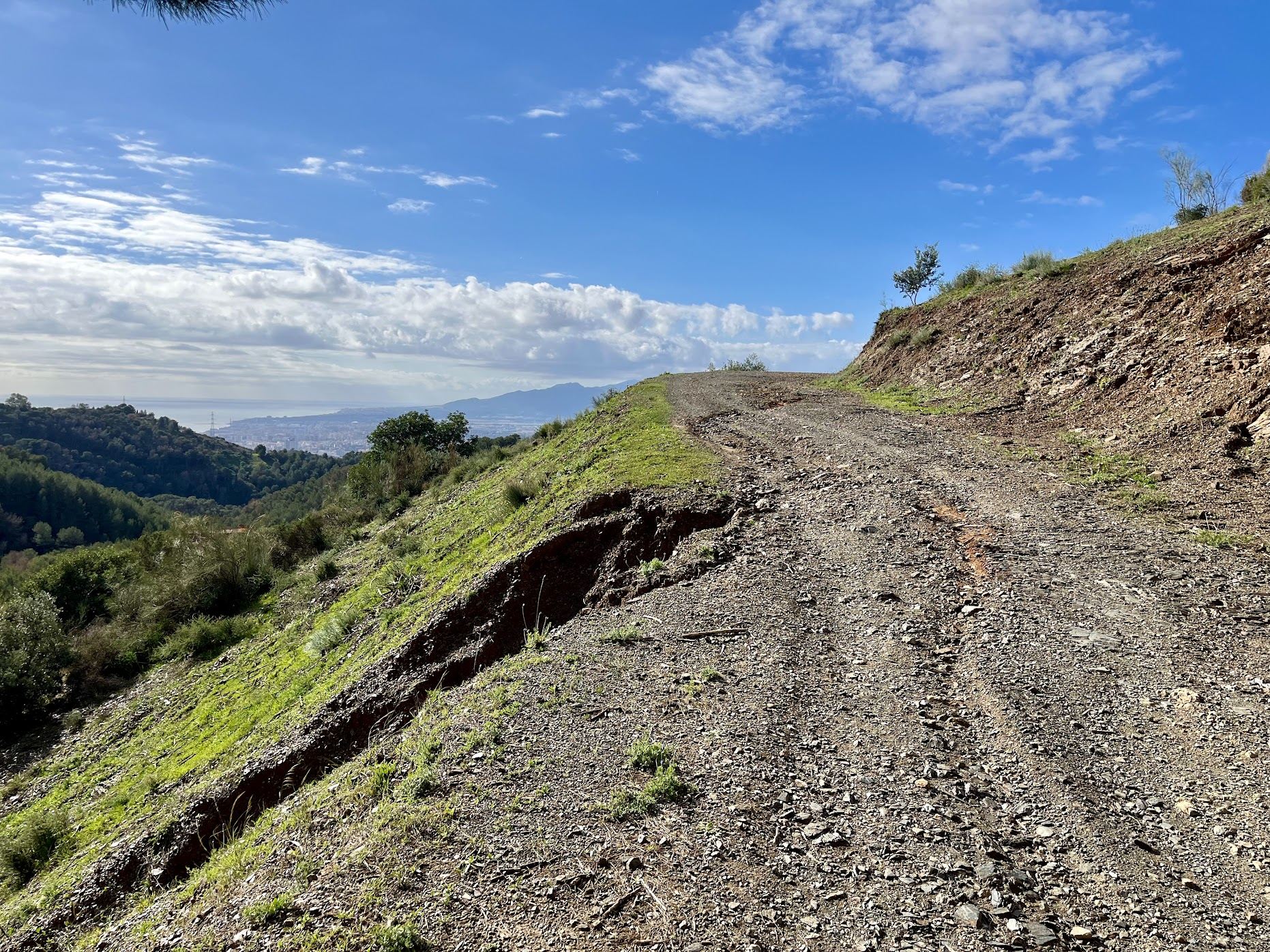
Let’s get this out of the way: this route won’t win any beauty contests. Parts of it are downright unpleasant, with garbage absolutely everywhere. So why bother? Because it’s mostly car-free, and for a route that starts and finishes in the center of Málaga, that’s a rare thing.
At 45 kilometers with around 640 meters of climbing, it fits nicely into a morning before the heat kicks in.
Route
From the center, you head north following the Guadalmedina out of the city. The first few kilometers are easy, but once you pass the pantano, the real work begins. On paper, the climb into the hills north of Málaga doesn’t look like much: about 550 meters of altitude reached after 13 kilometers. Don’t let the statistics fool you. Steep ramps of up to 19% are followed by brief flattish sections, just long enough to catch your breath, before the road kicks up into the high teens again. It’s a properly tough climb.
What goes up must come down, and the descent towards Puerto de la Torre is where you might wish you had brought (or bought) a full-suspension mountain bike. It’s rough, steep in parts, and on a gravel bike you’ll feel every bit of it on the way back down to near sea level. Don’t expect to fly down either: the many corners, a lot of them blind, keep the pace slow for most of the descent.
The second half of the ride couldn’t be more different. Once down in Puerto de la Torre, you continue towards the industrial zone, where a few university buildings liven up the area with plenty of young people. From there, you head southwest towards the airport, where you join the classic and popular tracks next to the runway, the same flat roads and gravel tracks as the airport loop. Finally, the Paseo Marítimo brings you back home to the city center.
You Might Also Like


The classic loop: Puerto del León
A punchy ride through the Montes de Málaga with more than 1000m of elevation gain in less than 50 km.


Casabarmeja - Colmenar
The road of the 1000 turns to Casabermeja is the perfect training climb.


Almogía - Villanueva
A wonderful loop of the Embalse de Casasola.
Read more
Articles covering this route, region, or country.

Top 5 cycling routes in Málaga
Explore the best cycling routes in Málaga. Sunny coastal rides, mountain climbs, and scenic roads perfect for your next cycling holiday in Spain.

10 epic road rides in Andalucía
Discover 10 epic road cycling routes in Andalucía, Spain. Perfect for scenic rides, challenging climbs, and unforgettable cycling adventures.

Top 5 cycling routes in Granada
Explore the best cycling routes in Granada. Snow-capped mountain climbs, empty valleys, butter-smooth roads, and historic cities are perfect for your next cycling holiday in Spain.