This 100 km loop has got everything a cyclist could ask for: a proper mountain pass, fast descents, quiet backroads, and enough views to make you forget your legs are on fire.
Route
The route kicks off in Soto del Real, a peaceful town just north of Madrid that sits at the edge of the Sierra de Guadarrama. It’s the perfect spot to start a mountain loop: not too busy, with good parking and plenty of coffee if you’re rolling out early.
After a short warm-up stretch through the outskirts of Soto and Guadalix de la Sierra, the road starts nudging upward. You’ll know what’s coming when you enter Miraflores de la Sierra: Puerto de la Morcuera is waiting.
The climb to Puerto de la Morcuera is one of the region’s iconic ascents. From the Miraflores side, it’s about 15 km long with an average gradient of 5%. It’s a steady climb that gets increasingly harder as you progress the climb. Fortunately, the road is smooth and there’s little traffic (at least not during the week), which makes it a pleasant experience. Pine forests hug the road, and as you gain altitude, the views start to open up, giving you a real sense of being in the mountains. At the top (1796 m), you’re rewarded with sweeping views across the valley.
From the summit, enjoy a long and winding descent toward Rascafría, but don’t switch off because there are a few tight corners, and this road is a favorite among motorcyclists too. Once you hit the valley floor, things flatten out and the pace picks up as you roll through the Lozoya Valley.
The landscape here shifts: alpine forests give way to open fields and traditional mountain villages like Lozoya and Pinilla del Valle. Eventually, the road takes you around the Embalse de Pinilla, a stunning reservoir cradled by hills. It’s peaceful, quiet, and one of those places that makes you feel a million kilometers away from city life. This middle section is prime for a relaxed pit stop. Whether you’re topping up bottles, grabbing a cortado, or just sitting by the water soaking up the sun, it’s a welcome break before tackling the rest of the loop.
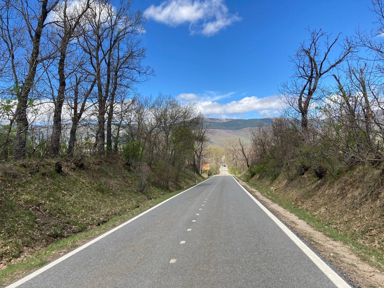
From Pinilla, the route curves eastward with a rolling profile. There’s another climb to Canencia, averaging a 3.4% over 15km, but it’s nothing compared to the Morcuera. It’s nothing to write home about, but it may be just enough for your legs to object on this modest climb.
Eventually, the loop closes back in on Soto del Real, where you can finish strong, park the bike, and maybe even grab a well-earned beer.
Fueling up
Near the lake of Pinalla, about halfway through the ride, is a cafeteria. On route is Canencia, where there are a few more cafeterias.
You Might Also Like


Calar Alto
Epic climb to the otherworldly Calar Alto Observatory.


Alto de Velefique
The Spanish equivalent of Alpe d'Huez.

Velefique & Collado del Ramal
A brutal desert double-header linking Alto de Velefique with the savage Collado del Ramal.
Read more
Articles covering this route, region, or country.
10 epic road rides in Andalucía
Discover 10 epic road cycling routes in Andalucía, Spain. Perfect for scenic rides, challenging climbs, and unforgettable cycling adventures.

Top 5 cycling routes in Granada
Explore the best cycling routes in Granada. Snow-capped mountain climbs, empty valleys, butter-smooth roads, and historic cities are perfect for your next cycling holiday in Spain.

Top 5 cycling routes in Málaga
Explore the best cycling routes in Málaga. Sunny coastal rides, mountain climbs, and scenic roads perfect for your next cycling holiday in Spain.