Route
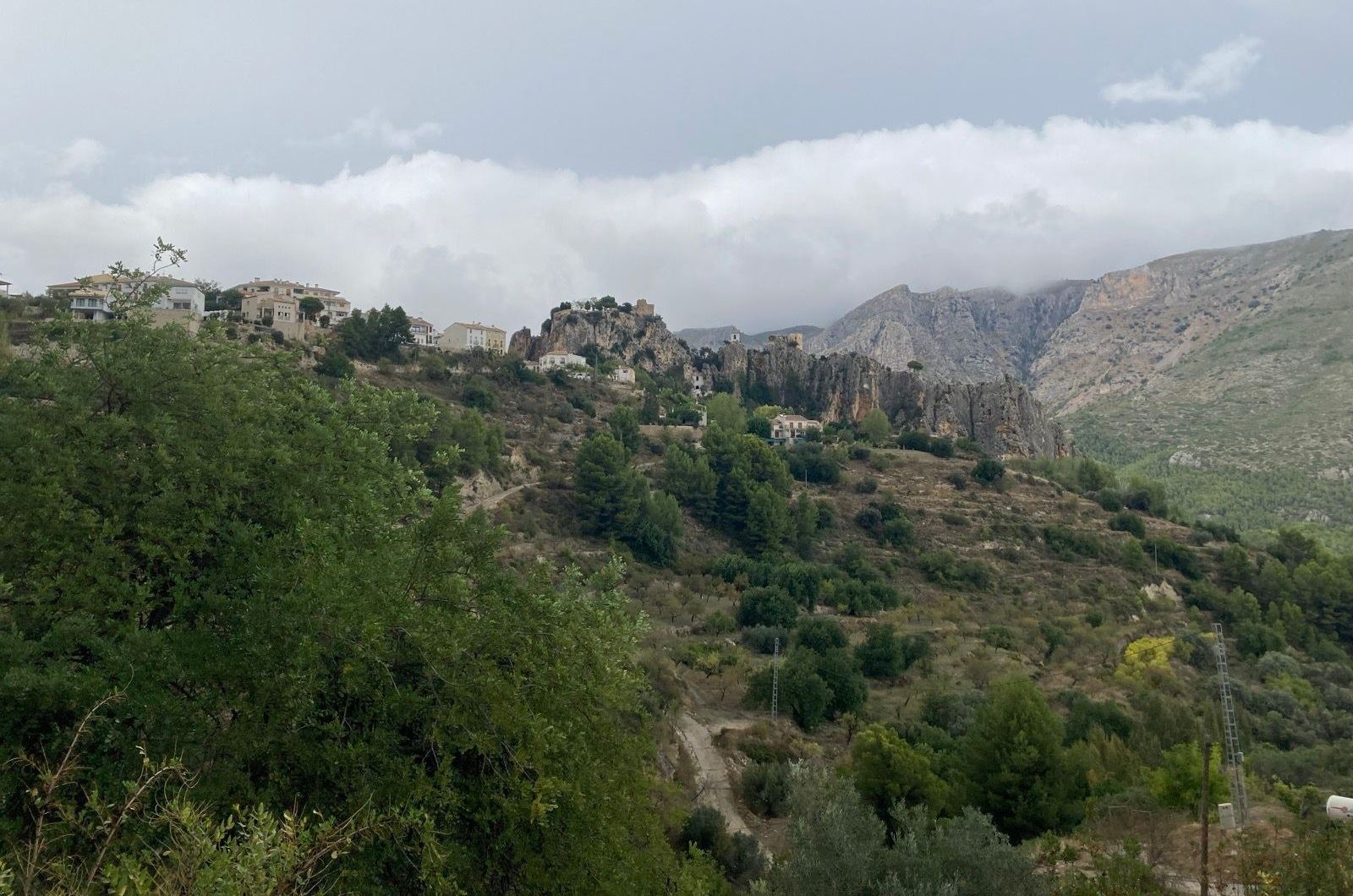
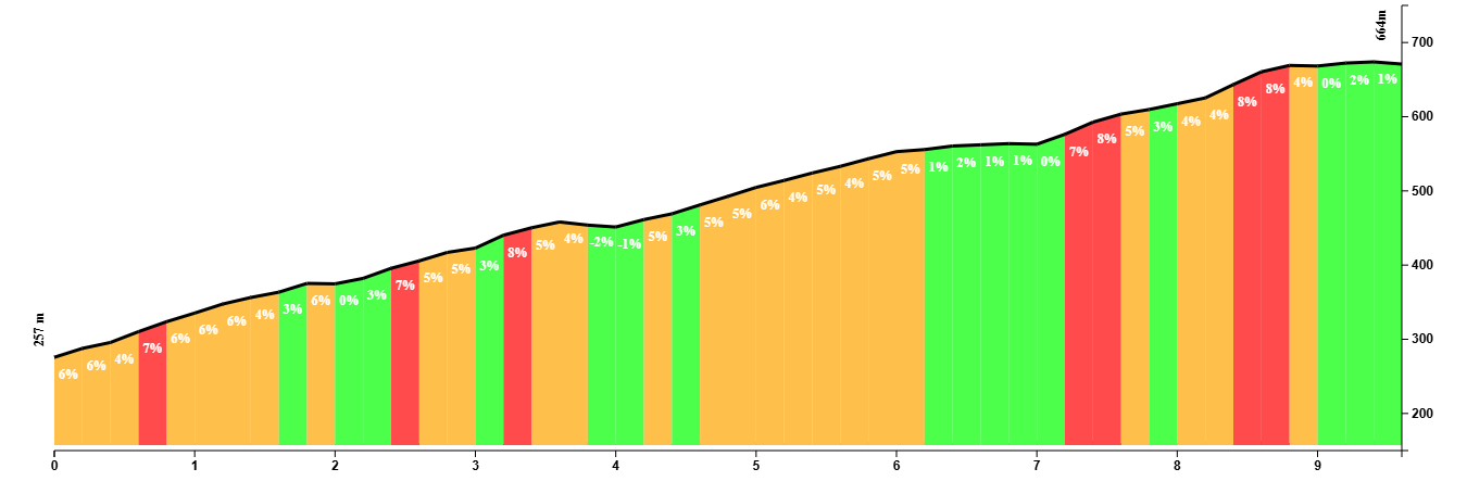
This is a fairly straightforward route with one major climb to the beautiful town of El Castell de Guadalest.
It isn’t quite the relaxing ride you think it might be. Until you get of the coastal road onto the CV-755, it’s actually quite the opposite. Reckless drivers and inexperienced holiday makers can make riding here a stressful experience.
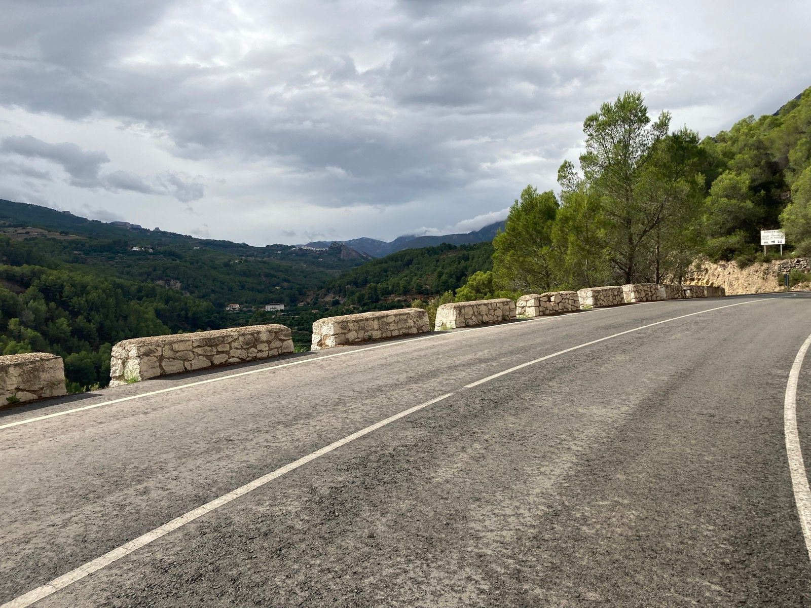
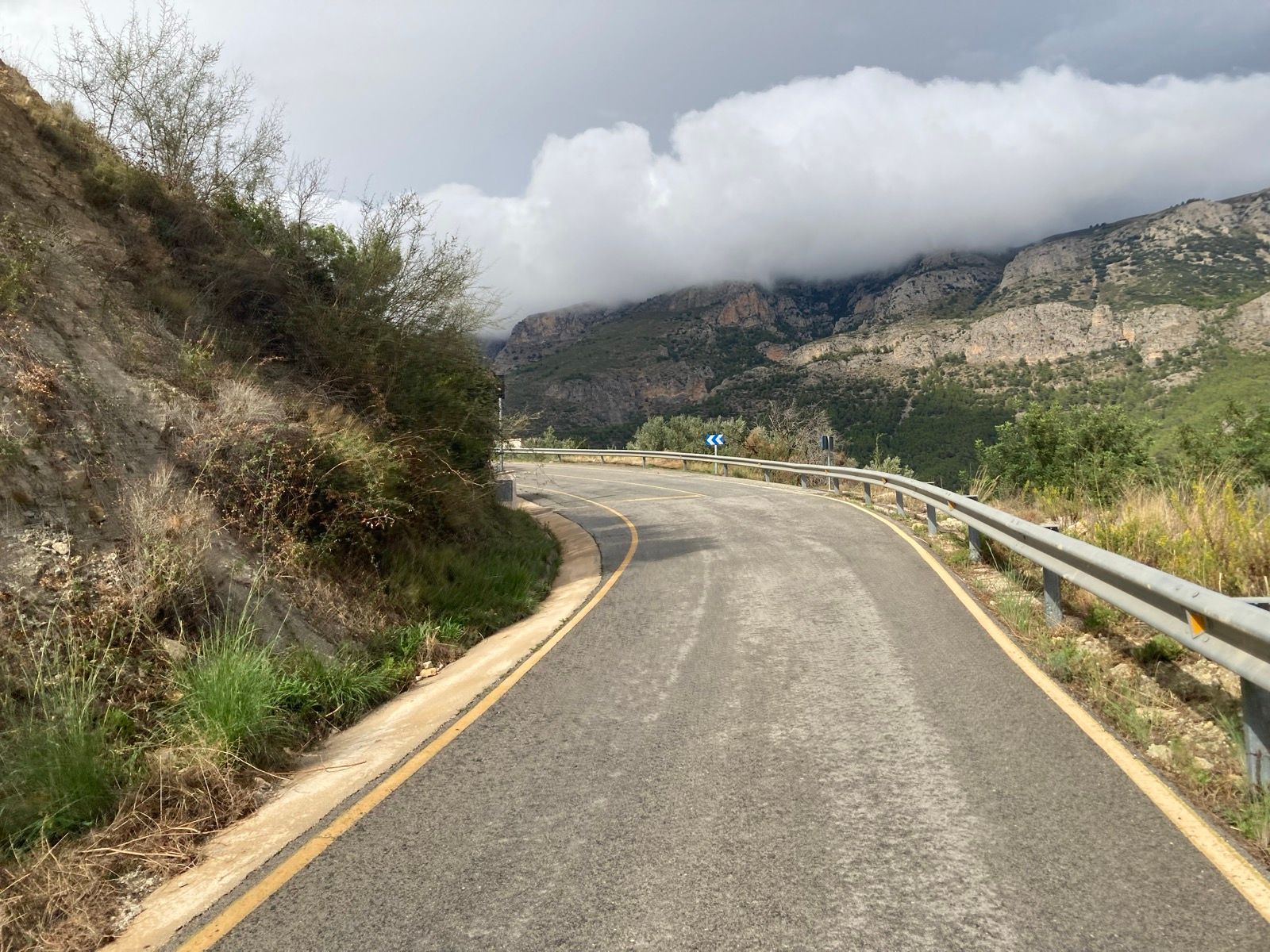
Once on the country road to Guadalest, it’s much better and you can relax a bit. El Castell de Guadalest is a popular day trip destination, so you’ll have to put up with cars overtaking you in blind corners and giving you no to little room.
The climb is nothing to write home about, but it’s a pleasant ride up with no difficulties worth mentioning. It’s an ideal climb for a recovery ride, or when you’re just not in the mood to ride up Coll de Rates again.
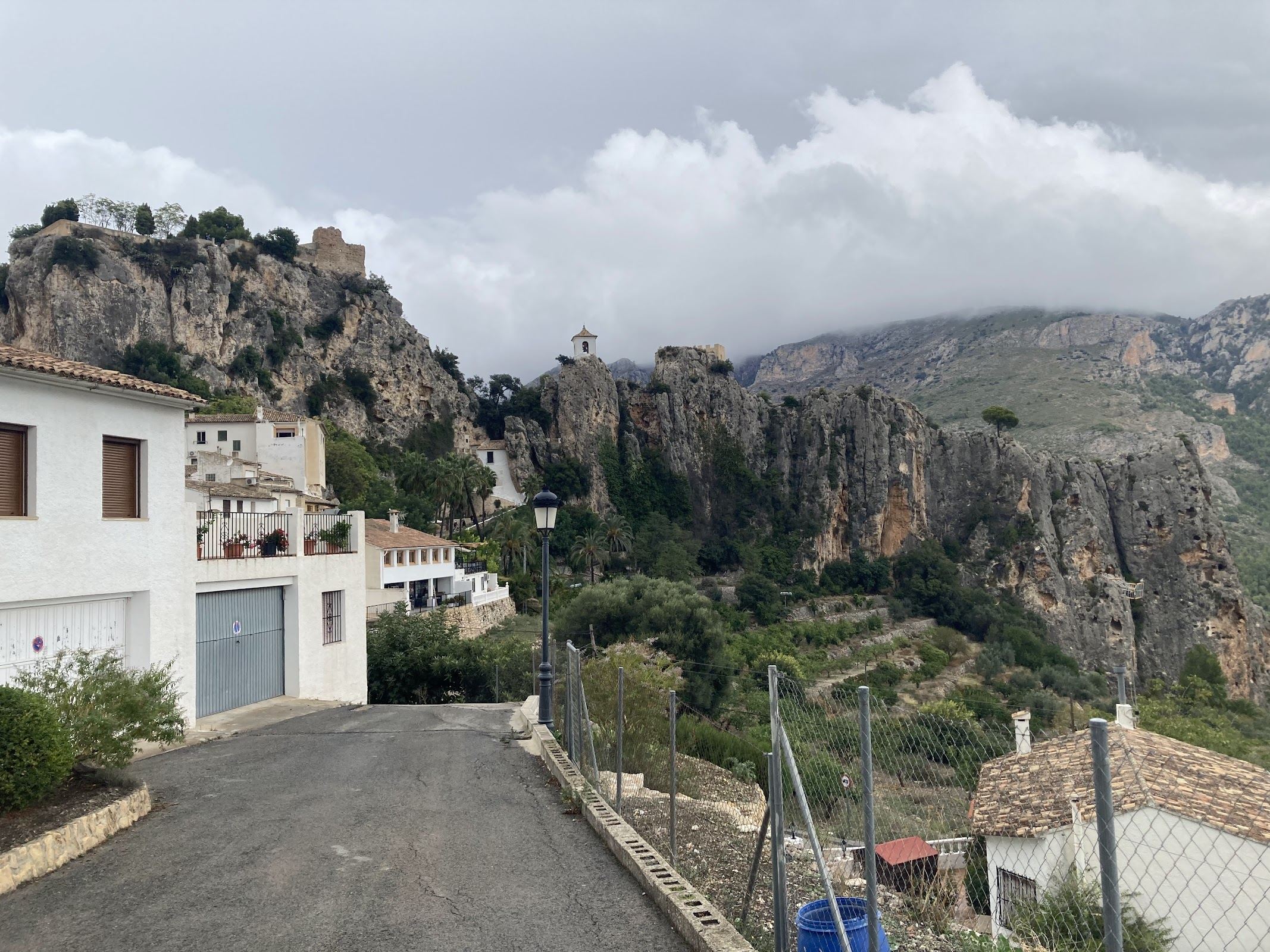
Once you reach the town, you can stop for a coffee and possibly ever wonder into town, although that might be a tad complicated with your footwear. To see bits of the town and the lake, you’ll actually have to go into town. There are no viewpoints
You can extend your ride by going down the other way towards Benidorm and Altea. Being such hotspots, expect busy traffic all the way back to the starting point of Calp.
Fueling up
There’s absolute no shortage of cafes and restaurants on the way. You’re not going anywhere remote on this route.
You Might Also Like


Coll de Rates & Puerto de Bèrnia
One of the hotspots in the early season when professional teams flock here to do their first training camp of the year.


Calar Alto
Epic climb to the otherworldly Calar Alto Observatory.


Alto de Velefique
The Spanish equivalent of Alpe d'Huez.
Read more
Articles covering this route, region, or country.
10 epic road rides in Andalucía
Discover 10 epic road cycling routes in Andalucía, Spain. Perfect for scenic rides, challenging climbs, and unforgettable cycling adventures.

Top 5 cycling routes in Granada
Explore the best cycling routes in Granada. Snow-capped mountain climbs, empty valleys, butter-smooth roads, and historic cities are perfect for your next cycling holiday in Spain.

Top 5 cycling routes in Málaga
Explore the best cycling routes in Málaga. Sunny coastal rides, mountain climbs, and scenic roads perfect for your next cycling holiday in Spain.