A 41 km loop between Cisternino and Ostuni, based on the Smeraldo Trail loop from Cisternino, one of the most popular mountain bike tours on Komoot in this corner of Puglia. It makes for a fun day out, with sweeping views over the olive plains to the Adriatic, red dirt roads through ancient olive groves and the white city of Ostuni never far away. Be aware that it is more adventurous than advertised: expect to push your bike for a good 10 to 15 km.
Start point is Contrada Marangiulo, in the countryside a few kilometres east of Cisternino, rather than the train station where the Komoot tour begins.
The route
From Contrada Marangiulo the route heads north and drops off the Murgia edge via Caranna and the Strada Comunale Chiancullo into the olive country of Montalbano, near Fasano. From there it turns east along the foot of the hills on the Strada Comunale Sotto ai Monti, past Masseria Scategna and Casalini.
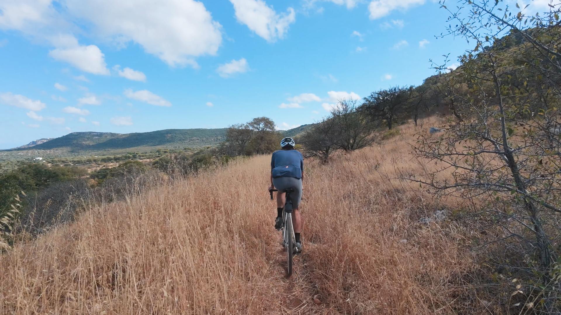
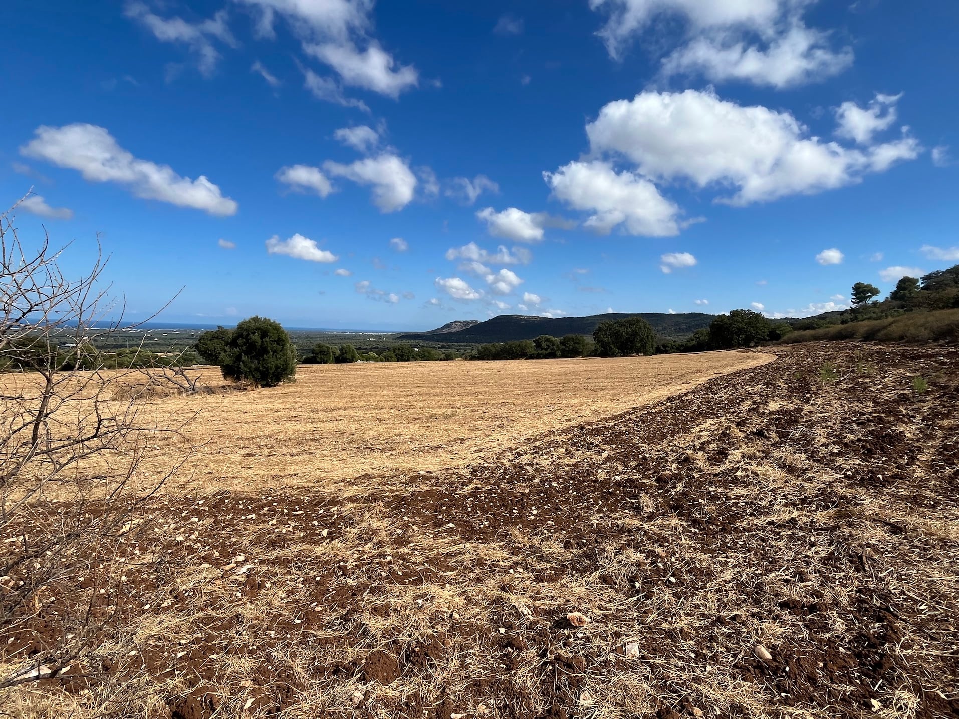
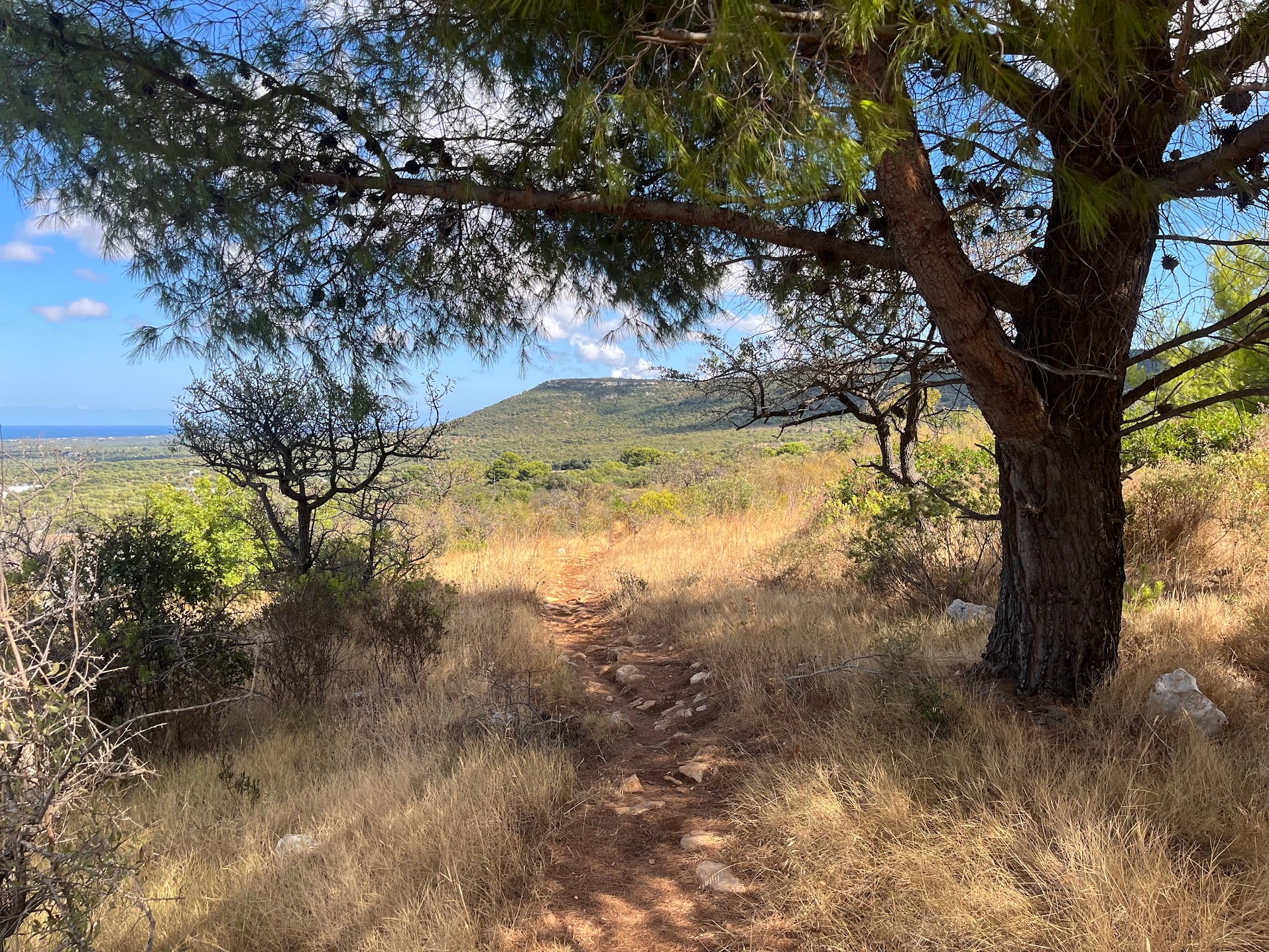
This is the wildest part of the day. Narrow ribbons of red earth wind through the golden grass, with sea views over ploughed fields. Some of the tracks shown on the map have been reclaimed by scrub, and others are strewn with rocks, so parts of this section are on foot.
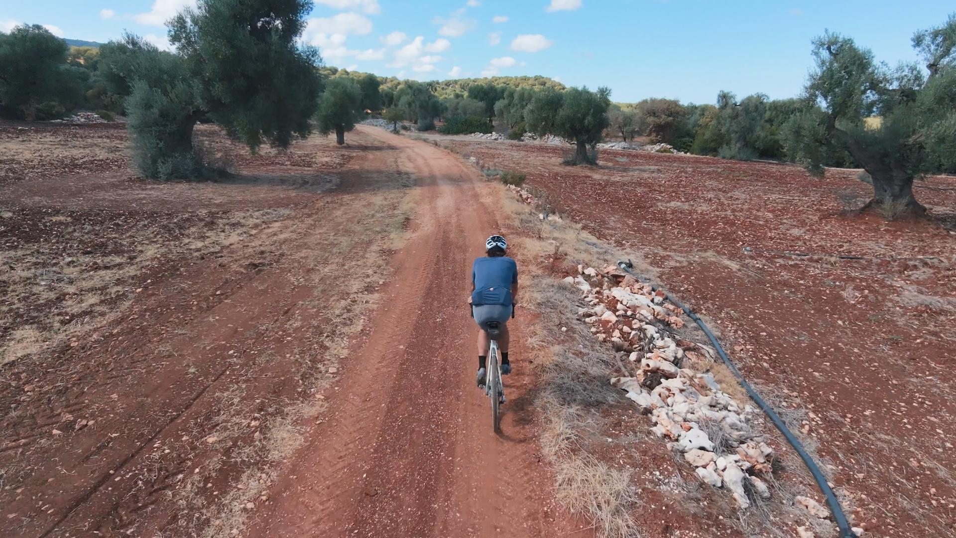
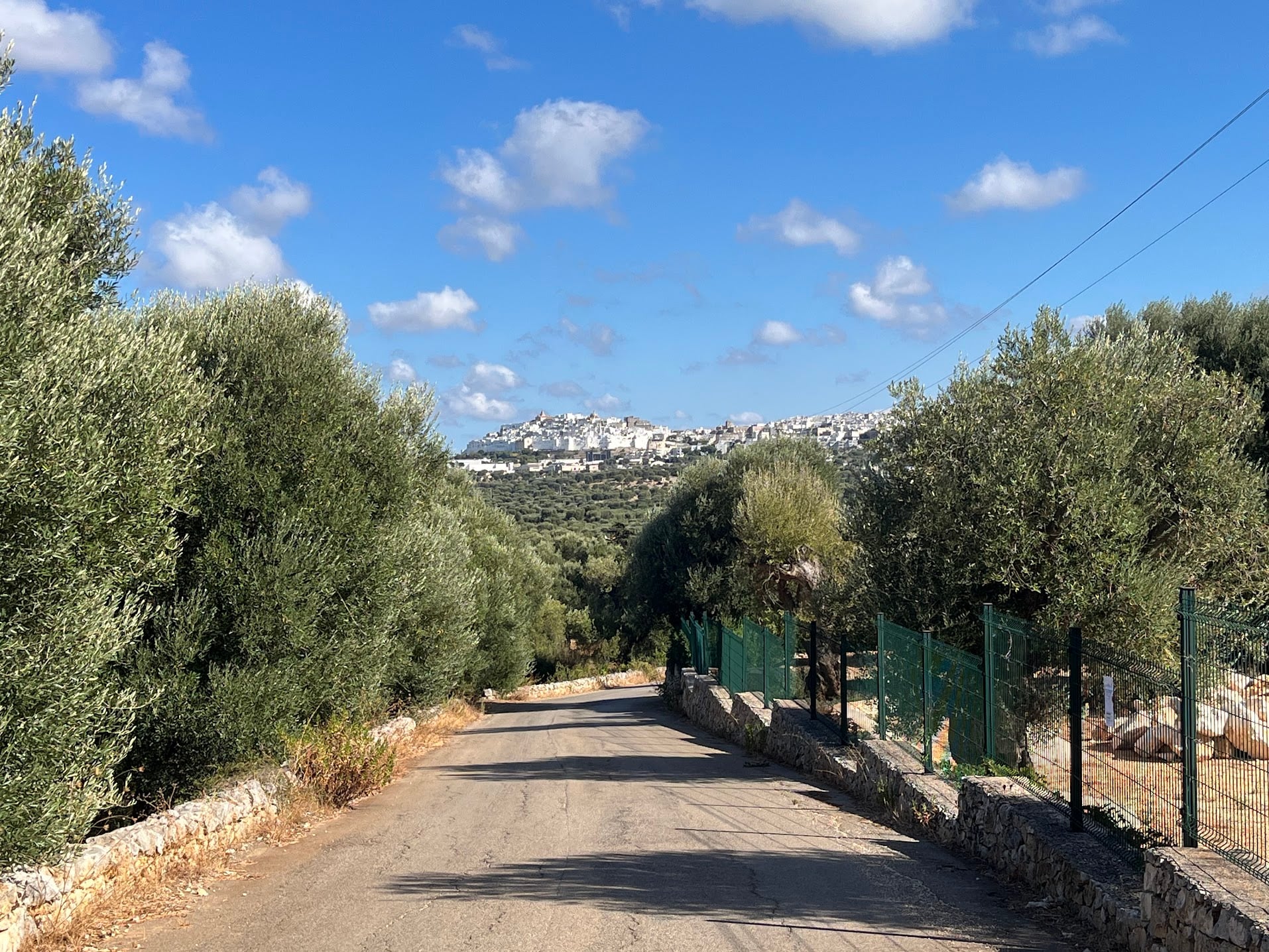
After a stretch of red dirt roads through ancient olive groves, the route picks up the Sentiero dell’Erba and the Strada Vicinale Montegrasso towards Ostuni, another rough and partly overgrown section. The reward is the Parco Archeologico di Santa Maria di Agnano, where the 28,000-year-old skeleton known as Delia was found, and a great view of Ostuni’s old town on its hill.
Just short of Ostuni the route turns back west up the Strada Vicinale Trappeto del Monte, the steepest climb of the day, to the Santuario di Sant’Oronzo and its statue overlooking the plain. From there the Strada Comunale Sant’Oronzo-La Chiusa and the SP18 lead back along the plateau through Casalini to Contrada Marangiulo.
Surface and bike choice
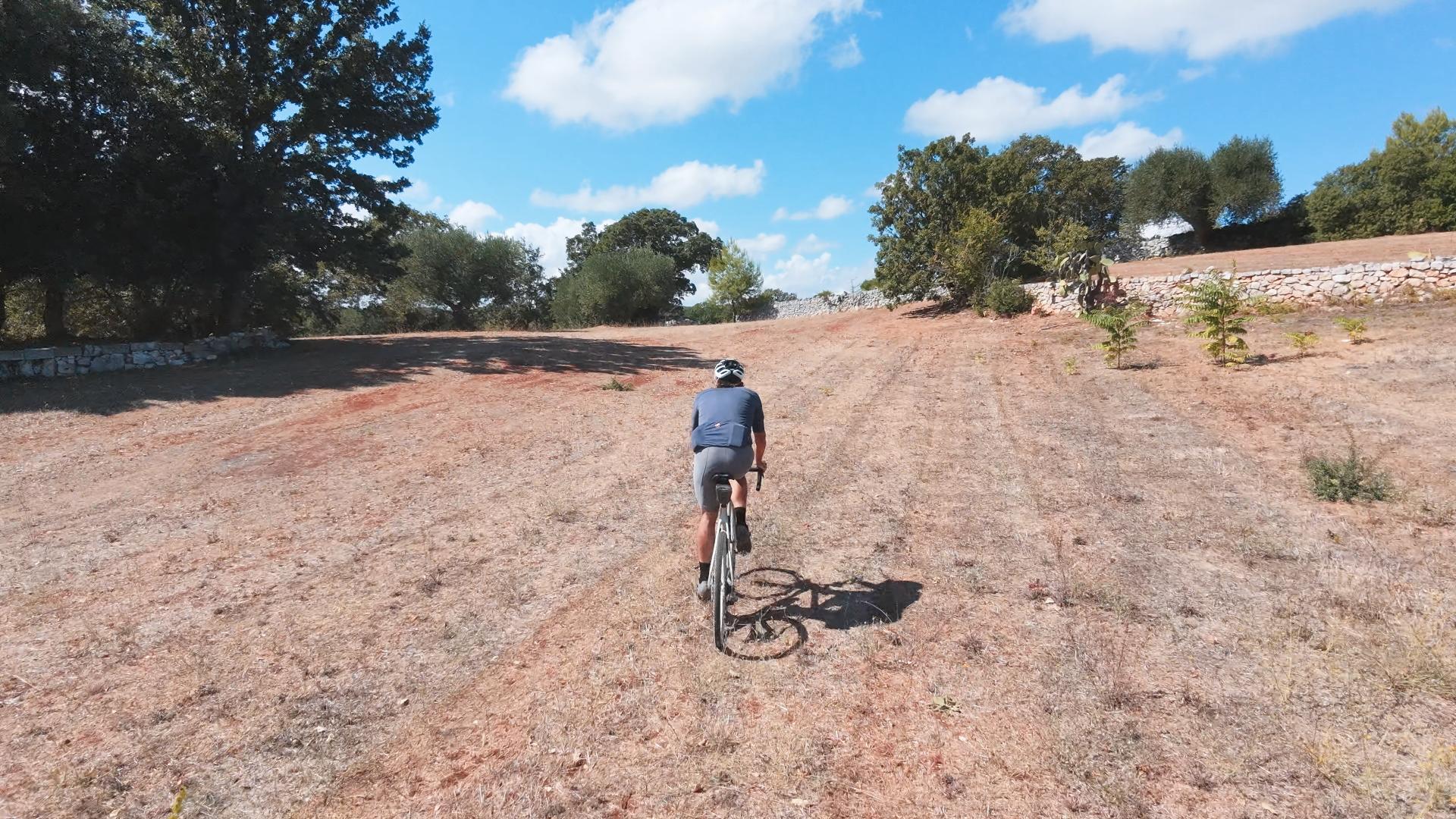
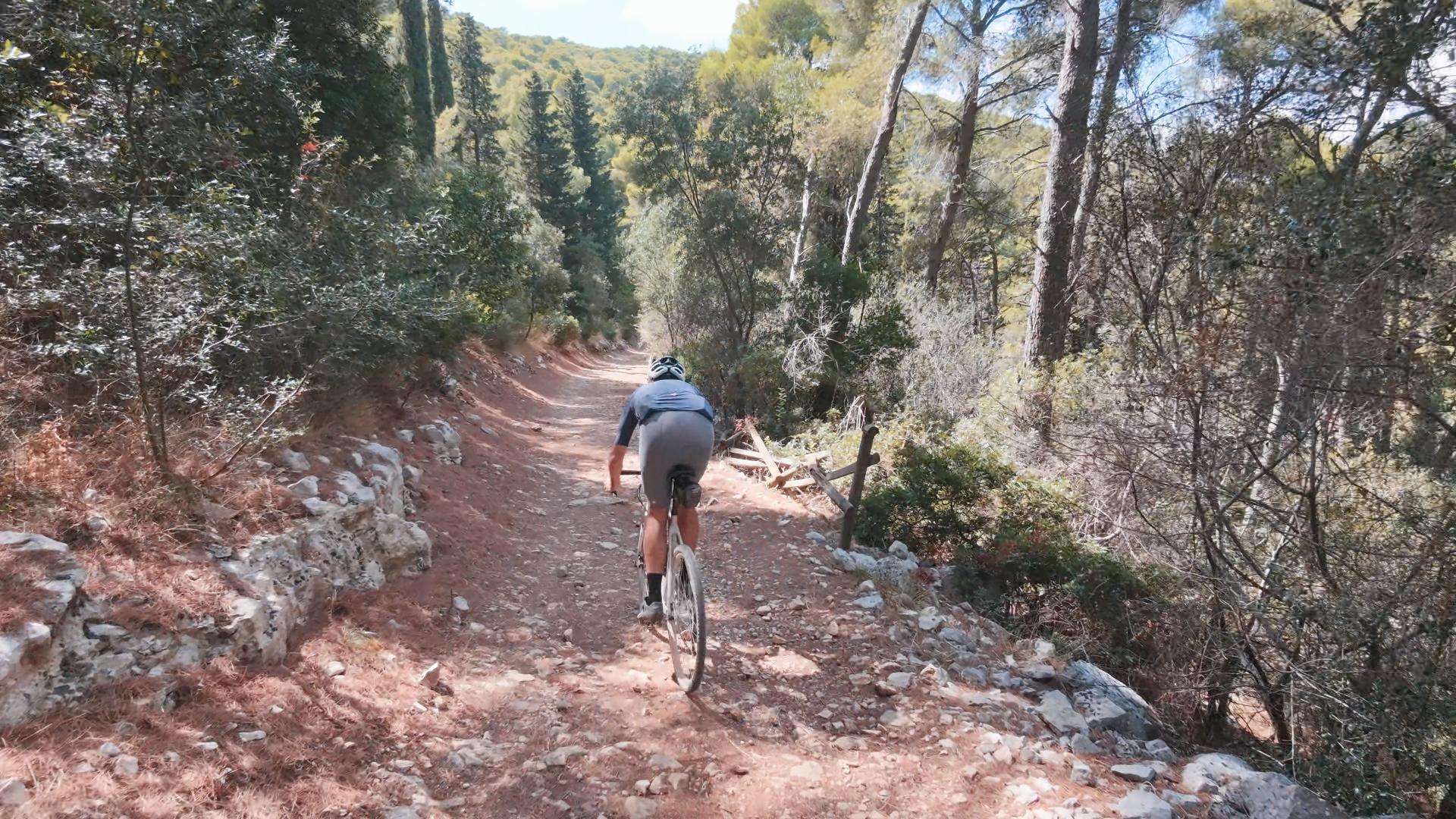
Komoot lists this as a mountain bike ride, but most of it is narrow tarmac lanes and red, dusty dirt roads that suit a gravel bike perfectly. On the overgrown and rocky trail sections you will be walking whatever you ride, so shoes you can hike in are a good idea. Run tubeless, as the limestone is sharp. Allow more time than the distance suggests, and if you would rather stay in the saddle, the country lanes offer easy alternatives to the trail sections.
Traffic
Most of the loop is on dirt or on narrow country lanes where cars cannot speed. The exception is the SP18 on the way back, where drivers go faster and may not give you much room when overtaking. Keep your wits about you there.
Fueling
There are no bars or fountains on the route itself. Carry plenty of water, as there is little shade on the open stretches. Ostuni is a short detour from the far end of the loop if you need a refill, and Cisternino is next door to the start.
Getting there
Brindisi airport (BDS) is about 45 minutes by car, Bari (BRI) about an hour. Cisternino is on the SS172 between Locorotondo and Ostuni.
You Might Also Like


Ciclovia dell'Acqua loop
A very fun loop from Contrada Marangiulo via Cisternino onto the Ciclovia dell'Acqua: traffic-free gravel, ever so slightly downhill, past the Galante bridge and countless trulli to Ceglie Messapica, then back north on narrow broken lanes and gravel through the olive groves. Hilly all the way, no killer climbs.


Passo dello Stelvio
One of the most spectactular climbs in the world.


Passo di Gavia
That other monstrous climb in the Dolomites.