
Route Details
Steepest kilometre
The hardest continuous kilometre of Passo di Gavia, measured from the GPX track.
- Gradient
- 13.3% Savage
- Where
- km 20.8 - 21.8
- Rise
- +133m
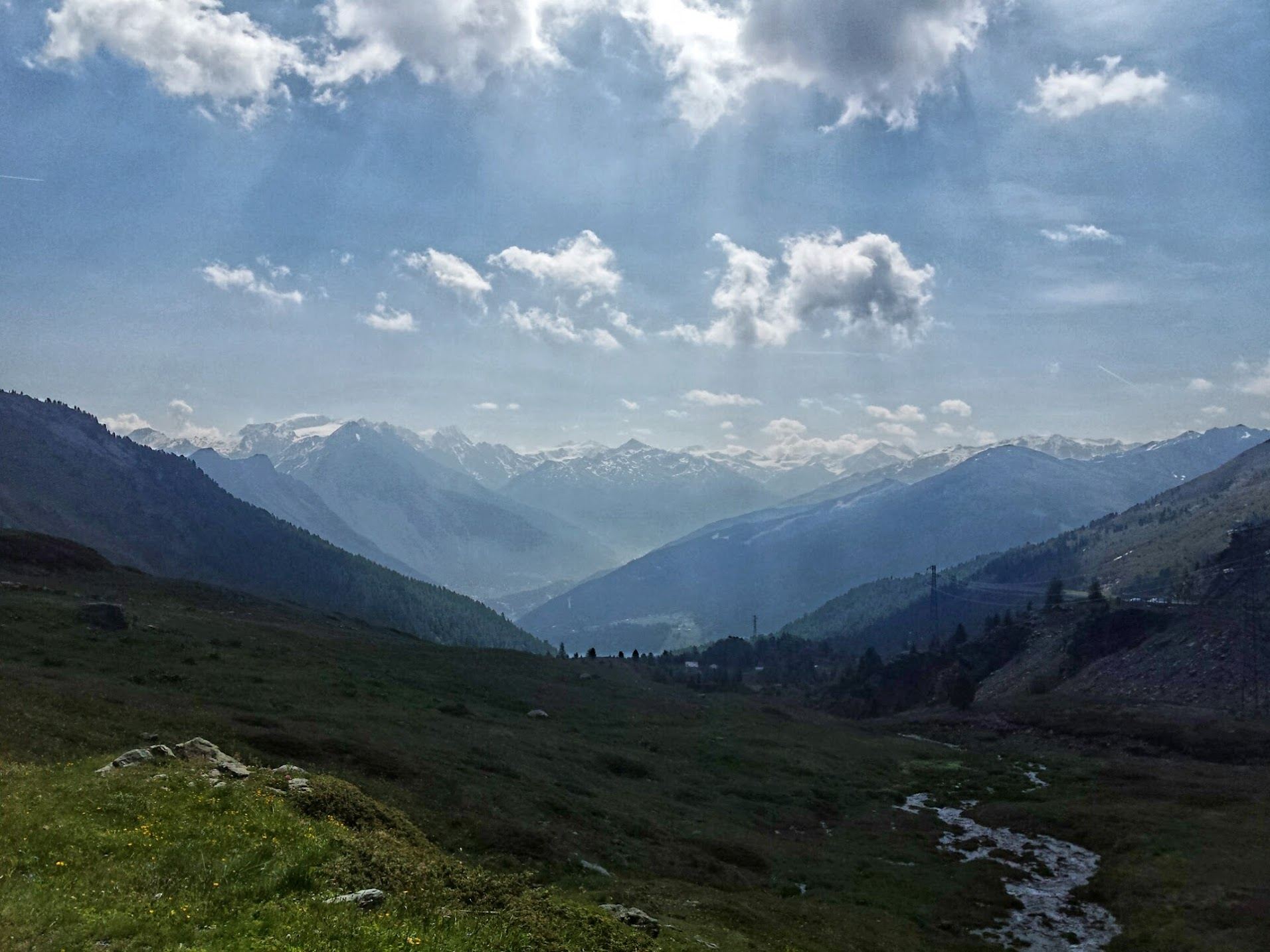
The Passo di Gavia is a name that echoes through Giro d’Italia history. It’s a wild and moody climb that offers solitude, challenge, and raw alpine beauty in equal measure. Starting from Bormio, this is a ride into the heart of the high mountains, where steep gradients and narrow roads demand respect and reward perseverance.
The climb begins gently as you leave Bormio, climbing out of the valley along a shaded stretch of road that follows the Frodolfo river. Early on, gradients are manageable, hovering around 5–7%. But don’t be fooled; the Gavia has teeth.
As you gain elevation, the road narrows dramatically, clinging to the side of the mountain with little to no guardrail. The surroundings become wilder: waterfalls, rock walls, and hairpins appear in rapid succession. The tunnel at 12 km - damp, dark, and chilly - is a reminder that this is no polished alpine highway, but an old road full of character and history.
The final 10 kilometers are magnificent. You emerge into a high alpine basin dotted with snowfields (even in summer), marmots, and stunning views of glacial peaks. The gradients here are inconsistent - sometimes easing, sometimes spiking above 10% - and the air is noticeably thinner above 2,000 meters.
At 2,621 meters, the summit of the Gavia feels remote and elemental. A small rifugio offers hot drinks, strudel, and shelter if the weather turns - which it often does. There’s a sense of accomplishment here that’s hard to put into words.
From the top, you can return to Bormio the same way or descend toward Ponte di Legno, a famously narrow and technical road that’s even more dramatic in the opposite direction.
You Might Also Like


Passo dello Stelvio
One of the most spectactular climbs in the world.


Ciclovia dell'Acqua loop
A very fun loop from Contrada Marangiulo via Cisternino onto the Ciclovia dell'Acqua: traffic-free gravel, ever so slightly downhill, past the Galante bridge and countless trulli to Ceglie Messapica, then back north on narrow broken lanes and gravel through the olive groves. Hilly all the way, no killer climbs.


Smeraldo Trail loop
A popular Komoot mountain bike loop from Cisternino down the Murgia escarpment towards Ostuni, past Santa Maria di Agnano and the Sant'Oronzo sanctuary. Red dirt roads through ancient olive groves and great views of the coast and the white city. More adventurous than advertised, with a good 10 to 15 km of pushing on overgrown and rocky trails.