
Route Details
Steepest kilometre
The hardest continuous kilometre of Col du Tourmalet, measured from the GPX track.
- Gradient
- 9.6% Very hard
- Where
- km 49 - 50
- Rise
- +98m

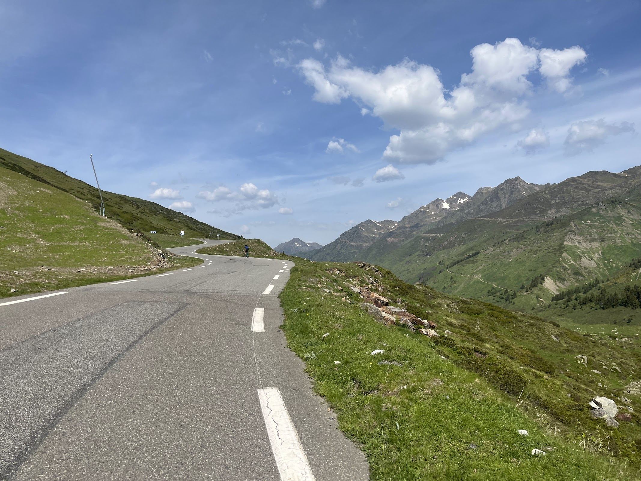
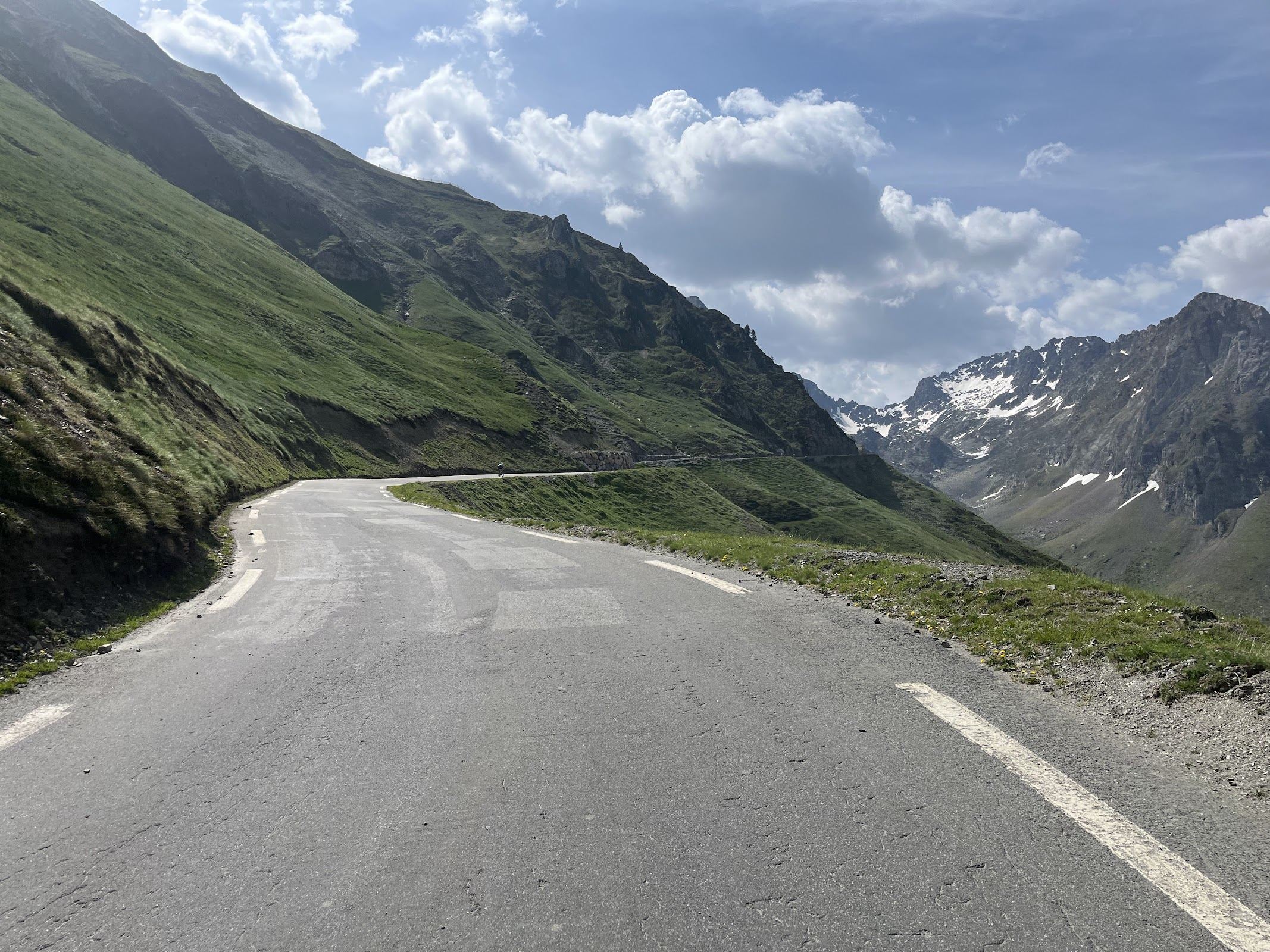
The route
A lot has been written about the Tourmalet already. It’s a Tour de France classic, steeped in history, and it’s probably one of the few climbs that most cyclists know and may have on their to-do list.
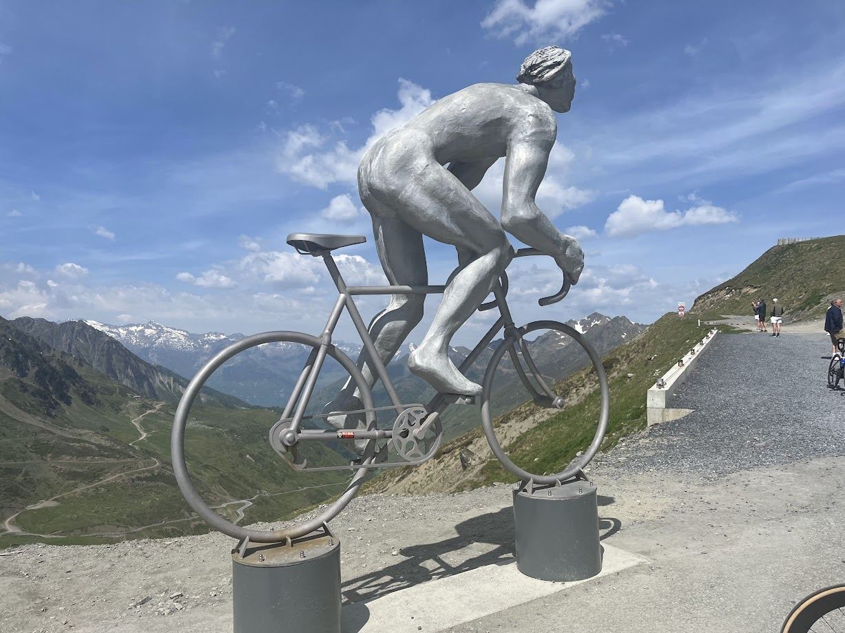
Because of its fame, you’ll never be alone. Caravans, motor riders, idiotic car drivers, and fellow cyclists of all walks of life with varying fitness levels, will all make their way to the top where so many have taken a picture of the cyclist statue.
The nicest side to start from is Luz-Saint-Sauveur. If you start from Lourdes, there’s a nice flat section where you can warm up on an abandoned train track to the impressive Pyrenees mountain range. What’s equally impressive is the amount of famous climbs are within a stone throw’s distance. Most notably you’ll see signs to Hautacam, Col du Soulor, Col d’Aubisque, and Luz Ardiden.
Once in the gorge to Argelès-Gazost, traffic builds up, as does the gradient. The actual climb starts in Luz-Saint-Sauveur, although the road starts going up way before that.
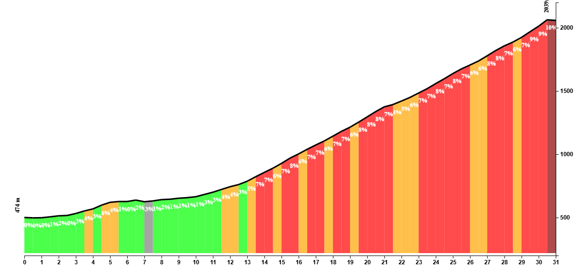
The toughest part is the final kilometer, where gradients go up to 14%. After a tough climb and at this altitude, it feels more difficult than usual. Knowing you’re nearly there makes it all worthwhile though.
Fueling up
At the top of the Tourmalet, there’s a cafe. Prices are insane, but you would expect that on a place like this.
Tips
The hardest part is at the end of the climb, so don’t go all out from the beginning.
You Might Also Like


Gran Fondo
Monster ride featuring Col de Spandelles, Col du Soulor, Aubisque, and Hautacam.


Mont Ventoux
The giant of the Provence is strictly not speaking in the Alps, but it's close enough to feature in this section.


Lacets de Montvernier & Croix de Fer
Few places on earth can beat a warm up ride in the Lacets de Montvernier, before tackling the Alp giant of Col de la Croix de Fer.
Read more
Articles covering this route, region, or country.