Teide from Puerto de la Cruz (via Santiago del Teide)
The route
This is one of the most epic cycling routes on Tenerife, combining the legendary climb to Mount Teide with a spectacular western descent back to Puerto de la Cruz. At 142km with 3,600m of climbing, this is not a ride for the faint-hearted, but the reward is some of the most spectacular scenery in the Canary Islands.
NOTE
Some locals recommended reversing the route. I was naive and believed the bike rental place owner, and I did this loop counterclockwise. Based on my experience, I disagree with them. I think the clockwise route is better. Traffic was substantially thinner on the Puerto de la Cruz side than the western side (near los Gigantes). There are many more corners here too, which partially curtials the speeding issue of the many reckless and irresponsible drivers. It also helps mentally to have a corner every now and then, instead of the never-ending straights on the western side.
The only reason I can see for going counterclockwise is that you won’t have to deal with the 2 minor climbs. Compared to the Teide, that is: the second climb takes you 900m higher. And yet on the route profile it looks like a little speck. If you went overboard on the Teide, you could seriously bonk out and find yourself in a taxi for the last 70 km.
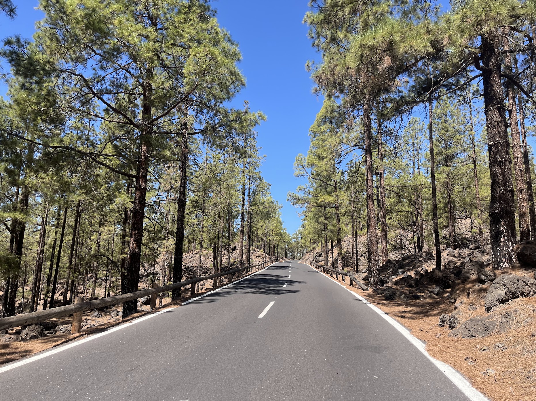
The route starts in Puerto de la Cruz and immediately begins the long climb towards Mount Teide, Spain’s highest peak at 3,715 meters. The first part of the climb takes you through the lush northern slopes of the island, passing through the historic town of La Orotava with its architectural and colonial heritage, and offering stunning views of the Atlantic Ocean.
As you gain altitude, the landscape transforms dramatically. The lush vegetation gives way to the unique volcanic terrain that makes Tenerife so special. You might find yourself riding through mist for a stretch, before climbing higher than the clouds and emerging into a moonlike landscape that you won’t find in many places.
The climb to Teide is long and steady, with gradients typically hovering between 4-7%. Unlike typical Spanish climbs, you can find a rhythm here - the real challenge is determining what pace you can sustain for 40km, a question few cyclists can answer until they try.
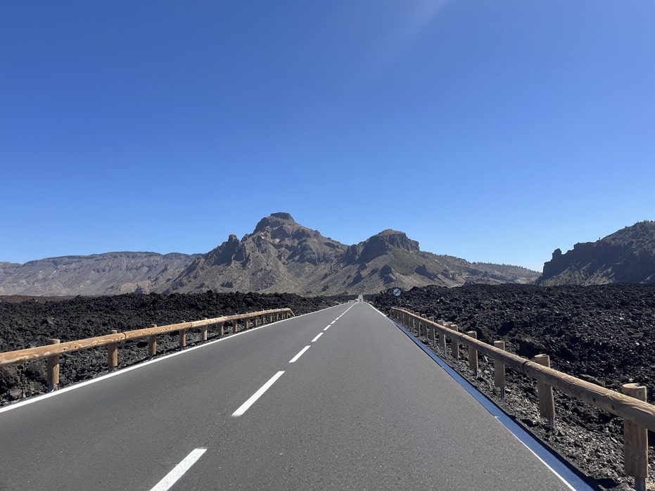
There are almost no provisions until you finally enter the cañada - a vast crater or plateau in the shadows of Mount Teide’s peak, which towers 1,400 meters above the road’s highest point at 3,715 meters. Here you’ll find the popular cable car station that ferries tourists to near the summit, and a hotel-restaurant that serves as a winter altitude training camp for professional cyclists. The volcanic landscape provides ample evidence that Teide is far from dormant - you’ll ride past old lava streams still strikingly black, with informative signs along the roadside marking the dates of past eruptions. The scenery is truly breathtaking - for those whose breath hasn’t already been taken away by the altitude.
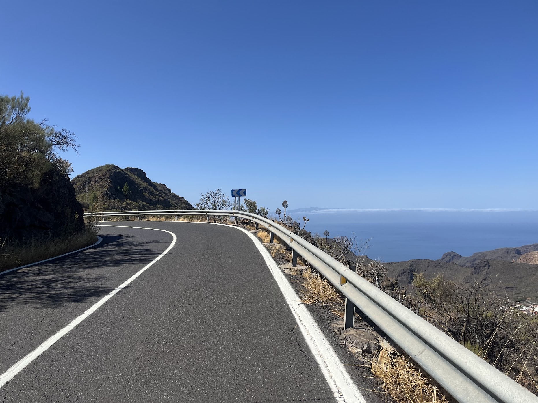
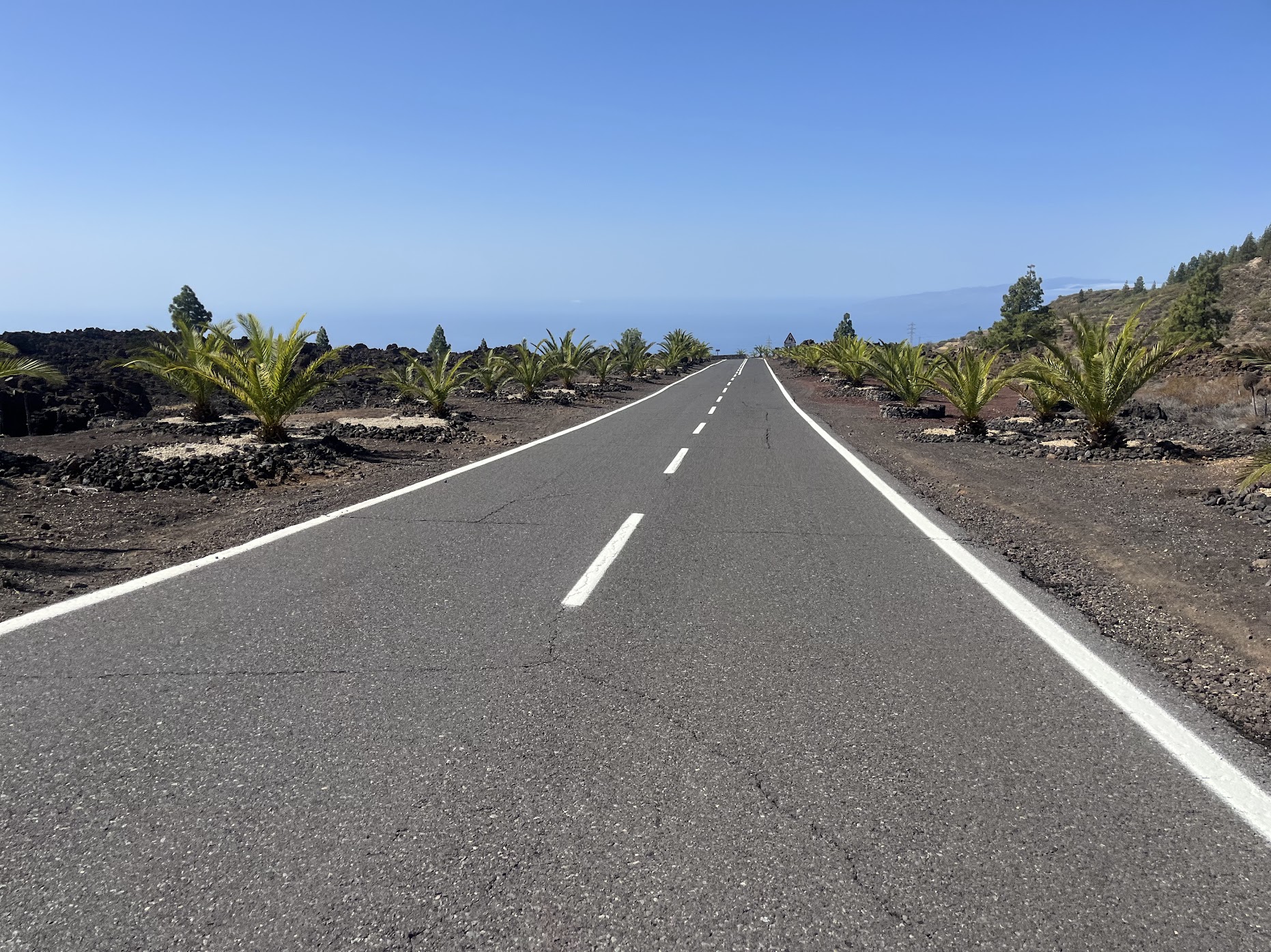
The descent via the western route is equally spectacular, offering views of neighboring islands like La Palma as you make your way down. Unlike some descents, this one is quite manageable - with very few corners and gradients that are never steep, you can control your speed comfortably without worrying about overheating your disc brakes. The road takes you through the Teno Rural Park with its dramatic cliffs and traditional Canarian architecture, winding through small villages like Santiago del Teide and offering panoramic views of the western coast.
The return route follows mostly the TF82, a road shared with tourists and virtually all traffic from the western side heading north and northeast. You’ll pass through busy villages like El Tanque, Icod de los Vinos, and La Guancha. There are two smaller climbs along the way, but it’s mostly downhill after passing Santiago del Teide, gradually bringing you back to Puerto de la Cruz.
Fueling up
Stock up well in Puerto de la Cruz before you start - there’s nothing until you enter the cañada, where you’ll find a few restaurants and hotels. Once you descend and reach Santiago del Teide and the surrounding area, you’ll find more restaurants and gasolineras (for those in a hurry).
There are no fuentes along the route as far as I could see, so bring some cash to buy supplies when you need them. Plan accordingly for the long climb - you’ll be self-sufficient for the first 40km of climbing.
Tips
Safety first: As mentioned in the warning section on the Tenerife starting page, traffic is insane on this island, not in small part caused by the endless hordes of irresponsible and reckless tourists. Make sure to be as visible as possible with reflective gear and lights, and keep your wits about you. When - not if - a mad person does something incredibly dangerous, you need to be ready to react.
Start early to avoid the heat, especially in summer months. The climb to Teide is long and exposed, and temperatures can change dramatically as you gain altitude. Bring plenty of water and energy snacks for this long ride - you’ll need them.
Check weather conditions before starting, as conditions can change quickly at altitude. The western descent can be windy, and the roads through Teno Rural Park are narrow and technical in places. Consider using a compact crankset for the steep sections, and take time to enjoy the views - this is one of the most scenic routes on the island.