El Torcal
The route
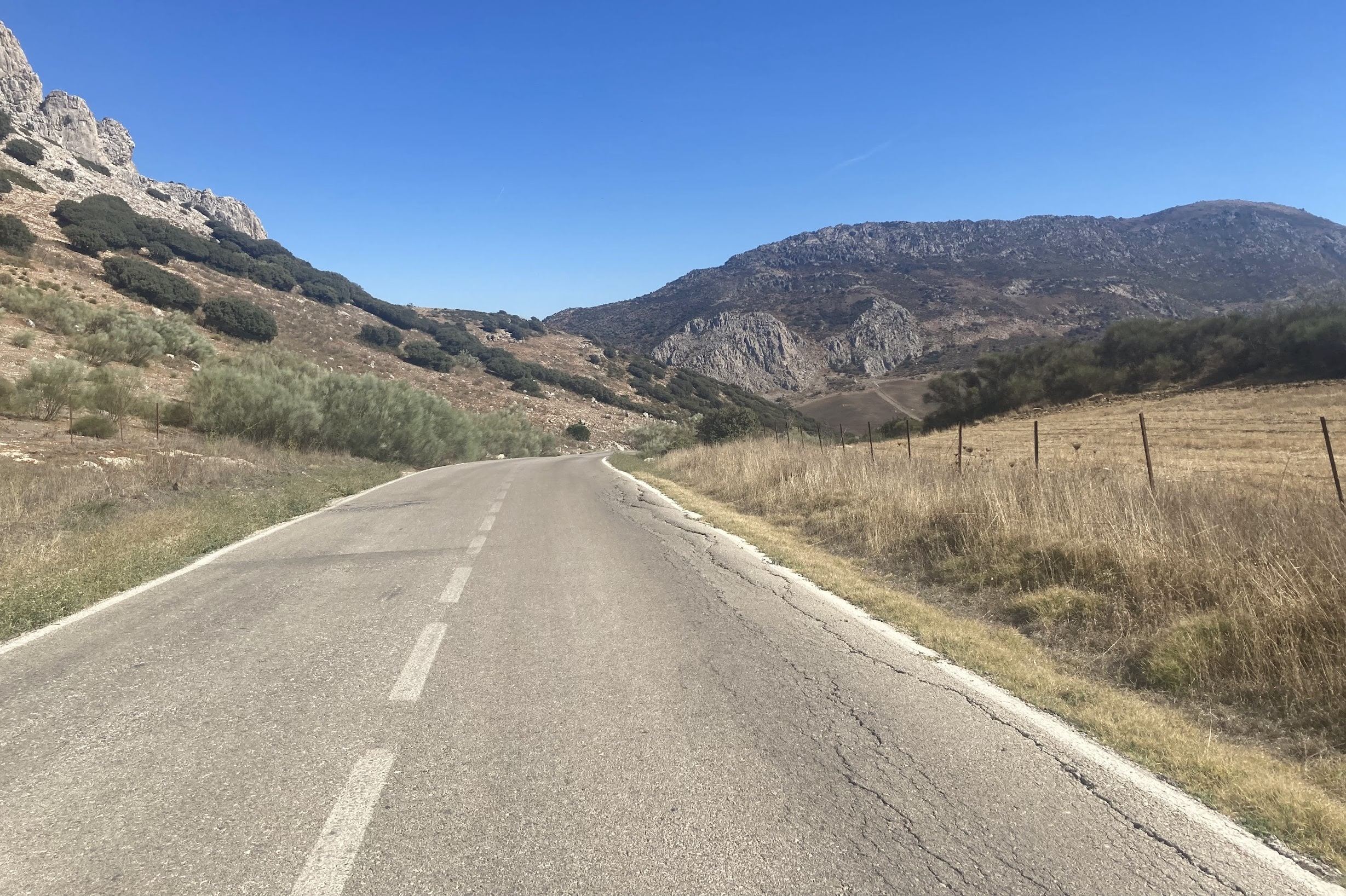
This is one of the loops that you can do when you get to Villanueva de la Concepción. This route’s highlight is the climb of Torcal de Antequera, a tough but beautiful ride up to its spectacular natural park. On a rest day, you could come back and hike one of the trails through the park, it’s absolutely worth it.
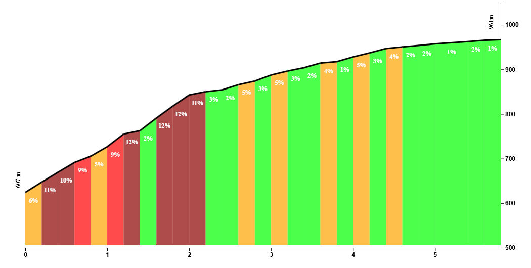
The climb is a tough one, with gradients that hover around 9% with peaks to 14%. The last 2 km are the toughest, but that’s assuming that you want to go as far as the tarmac allows you. The route doesn’t take the sharp left corner for the assault of the final climb, but this detour is a dead end so you’ll have to come back to the main (and only) road to continue your way to Antequera.
Right when you leave Villanueva de la Concepción, your front wheel immediately points up to the skies, and it stays there for about 5 measly kilometers, but they’re tough. As sudden as the climb began, equally suddenly does the road get almost completely flat, which for the first time will make you look at where you are and let the views soak in. The road goes around the natural park and through former bandit country, you’ll fly down a windy area to Antequera.

Antequera is a great little city with spectacular views and definitely worth a visit if you’re here for a longer visit. This route doesn’t go into the city, but can easily be added to the route if you’re desperate for a coffee and a pitufo (=smurf), which is a smaller variant of the bocadillo. In all of Málaga, people will understand when you order a smurf with tomato, anywhere else in the country you’ll get puzzled looks from the waiters.
Apart from Antequera, this part of the province feels eerie and reminisces of the bandits of the days of yore. There are few roads too, so you have to decide if you’re up to the challenge of completing a 130 km ride. This route is 150 km because it adds another 20km along the Paseo Marítimo in Málaga for cooling down, so this last part is completely optional.
We take the road to Valle de Abdalajís. It’s a staggering ride along perfect roads with sweeping corners and almost no traffic. Valle de Abdalajís is a another white village in a dramatic setting and seems to be popular with parapente and paragrliding adventurers. Most of the route from Antequera towards Málaga is downhill, but there’s still enough undulating terrain to make it challenging.
Further down the Guadalhorce valley, traffic will start to build up and the ride won’t be as epic when you pass by villages like Álora, Pizarra and Estación de Cartama. To get off the main road to Málaga, we take a little detour which eventually leads us to the final settlement of the beginning of the roads towards Almogía. It’s all downhill from here and after this epic 130 km ride, you can cool down and add another 20 km loop to El Palo, and you’ll have a ride with 150 km and 2000m of climbing to show off on Strava.
Fueling up
Until Villanueva de la Concepción, there is no shortage of cafeterías. In Almogía and Villanueva, there are stops on route. This route doesn’t actually passes by Antequera, but it’s a short ride to head to down and go for a coffee. Antequera would be the last stop for a while where you could fill up your bottles until Valle de Abdalajís, from which point you’ll ride through villages such as Pizarra where you could take a final break before storming back to Málaga.
Tips
This is going to be a long day where you’ll be 6 hours or more on the bike. And it is a rather tough ride where the hardest part is in the first half. The second half is undulating and mostly downhill, the wind can play up and it may be even harder to ride against the wind than riding uphill. So pace yourself, drink and eat and take a few breaks to rest your legs and your bottom.
The last 40 kilometers can be modified: instead of going left off the main road at Campanillas, you can head straight on the busy road to Málaga. And the last 20 kilometers can be skipped altogether because it’s just a loop to El Palo.
