Cútar
Route
It’s hard to believe that there are so many quaint little villages along the crowded Costa del Sol. People flock in big masses from the north to this part of the world to get more orange at the beach, while 10 kilometer inland a whole new world begins. It’s a more simple life and people from a modest upbringing try to make their living from agriculture, as can clearly be seen in the Axarquia region. This route heads to one of those villages tucked away in the hills that few people visit: Cútar.
There are a few ways to get to Cútar. The easiest way would be to head to Veléz-Málaga and commence the climb to Cútar via Benamargosa. This route tries to stay off the main roads as much as possible. The first half is essentially the same as the Ruta de la Pasa, with the pleasant ride to Moclinejo. Once you’ve descended into Almáchar and reached the crossroads, you could go left, which would lead you to Cútar via El Borge. However, the other way up to Cútar is arguably more scenic, so we’ll take a little detour. In fact, it’s a 20 km detour that could’ve been just 2 kilometers or so if there was a road connecting Almáchar to Benamargosa. The road takes you to Veléz-Málaga and at the crossroads you go left and soon after left again to Benamargosa, where cycling heaven awaits you once you cross the bridge over not so troubled water to Cútar.

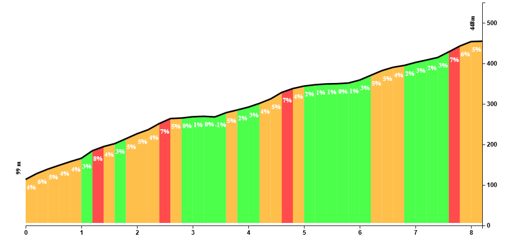
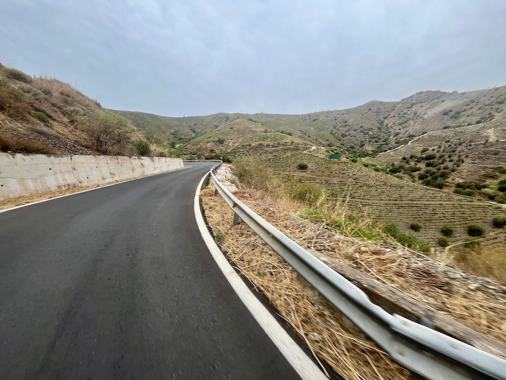
What a beauty is this climb. An unbelievably smooth ribbon of tarmac gently takes you higher and higher into the hills. The views are great and you never lose sight of Comares, the eagle’s nest towering over Axarquia. All the while you might be wondering where this road is going as there’s no sign of life, and you never actually get to see Cútar until the very last corner, when it just suddenly shows up.
The actual summit of the climb is a few kilometers after Cútar, after which you immediately descend into El Borge and you’ll back at the crossroad with Almáchar. This is the second time you’ll do the part between Almáchar and Veléz-Málaga, although you’re not going all the way to Veléz-Málaga; follow the directionso to Benamocarra, where you will do the remainder of the Bacalao route.
This route has 3 enjoyable climbs with acceptable distances and average/maximum gradients. It’s 120 kilometer long, 40 of which is along the coast over flat-ish roads and 15 kilometer more or so downhill. So if you would like to try out a longer ride without a ton of climbing, this is a highly recommended route.
Fueling up
The route is littered with villages, so there is no shortage of rest stops. A tiny cafe worth mentioning is situated at the entrance of Cútar at the bus stop. You’ll be in luck if it’s opened when you pass by, but if it is, stop by this cute little place.
Tips
If you don’t want to take the long way around to Veléz-Málaga, you could go along La Zorrilla. There is a gravel section to cross the dried-up river bed, where Triana lies at the other side. It’s short and doable, but the way towards the river bed is steep, narrow and tricky to navigate.
